On 3-Mar-2007 I decided to
take a trip down to the old Scully Yard located near Crafton and
Thornburg. I was prompted to do this after examining some images from
Pennpilot
that showed quite extensive engine facilities at the yard. I have known
about the yard from growing up in the area but never knew to what
extent the yard was developed. I thought it was mainly a switching or
storage yard. I didn't have a lot of time to explore the area and plan
to go back and take a more detailed look, but here's what I've found so
far.
Here is the area as it appeared back in 1938. You can see the engine
facilities including a roundhouse and turntable. There are several
engine parked near the roundhouse off to the left. Click on the image
to get a full view. Here is a link to the area today
http://maps.live.com/default.aspx?v=2&cp=40.455617~-80.092102&style=h&lvl=16&tilt=-90&dir=0&alt=-1000
The area is now part of the Pittsburgh and Ohio Central
railroad, not as many tracks but still in operation.


I began my journey by entering the yard area via the lower right corner
of the picture. I parked near the UPS building and followed the
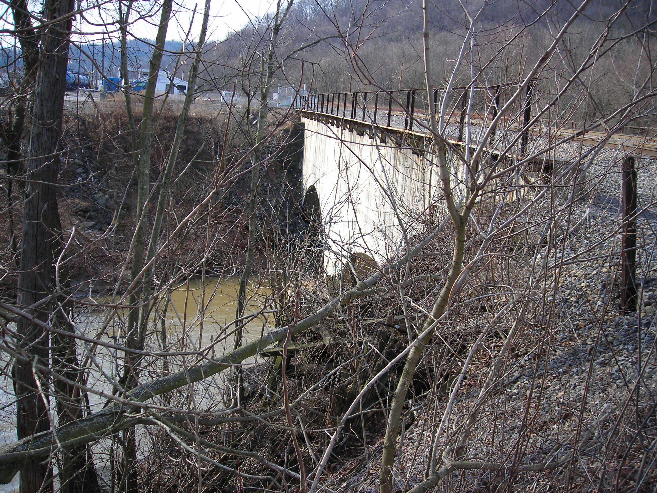
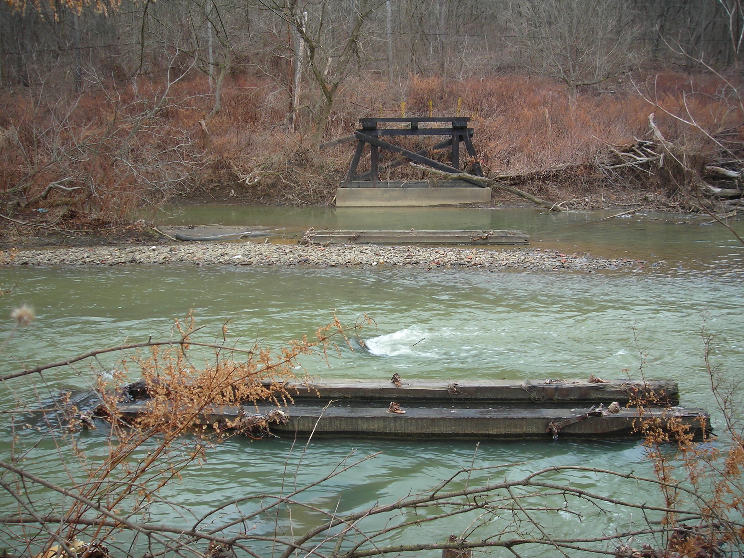
existing spur over to the bridge crossing Chartiers Creek. It is a
strong concrete bridge, made to withstand years of railroad
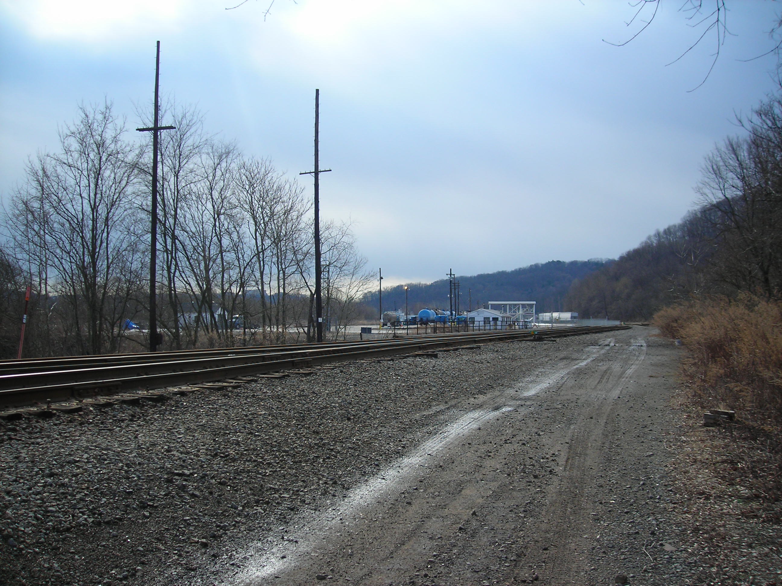
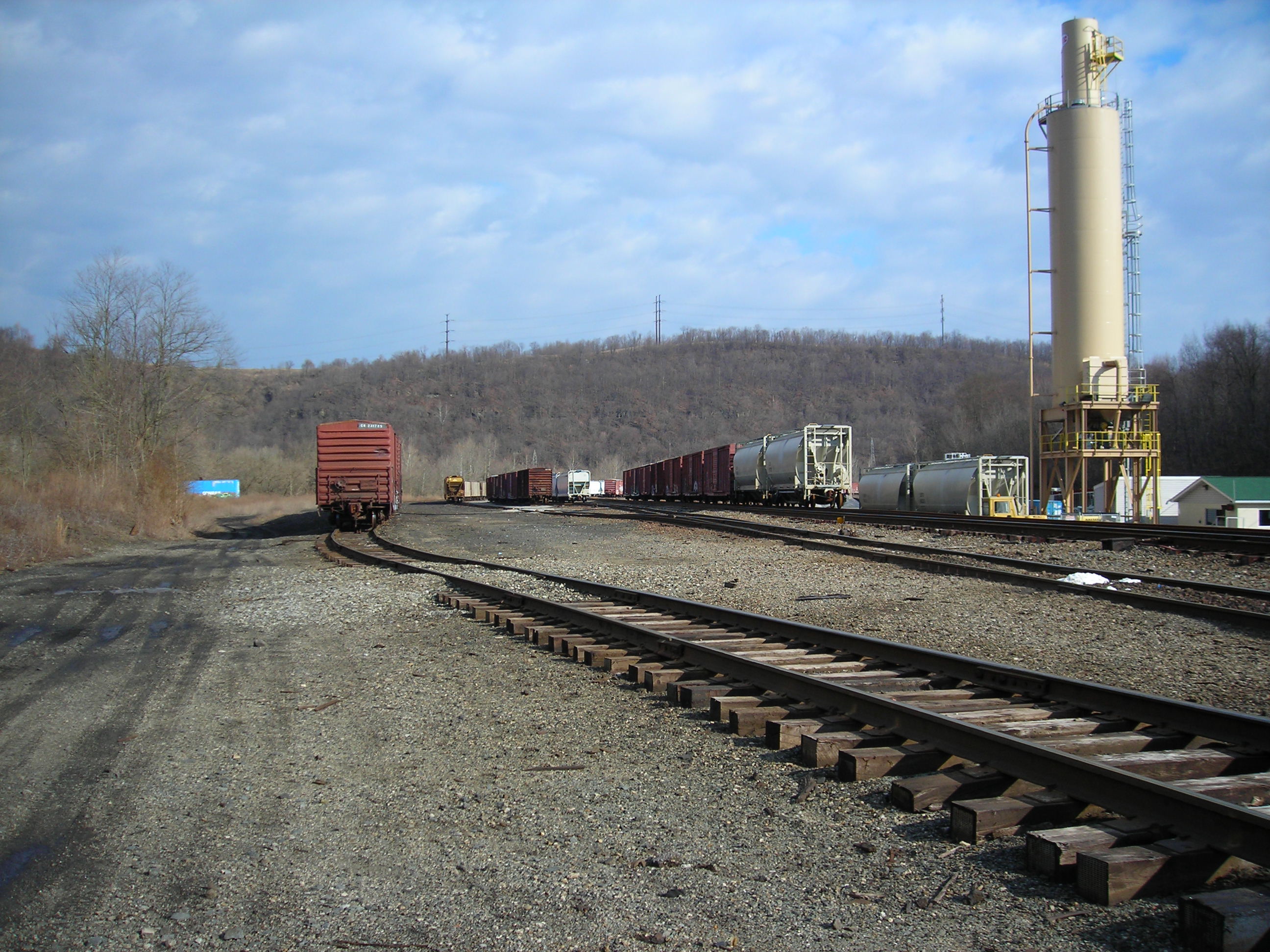
use. I also have included some shots of what Scully is currently being
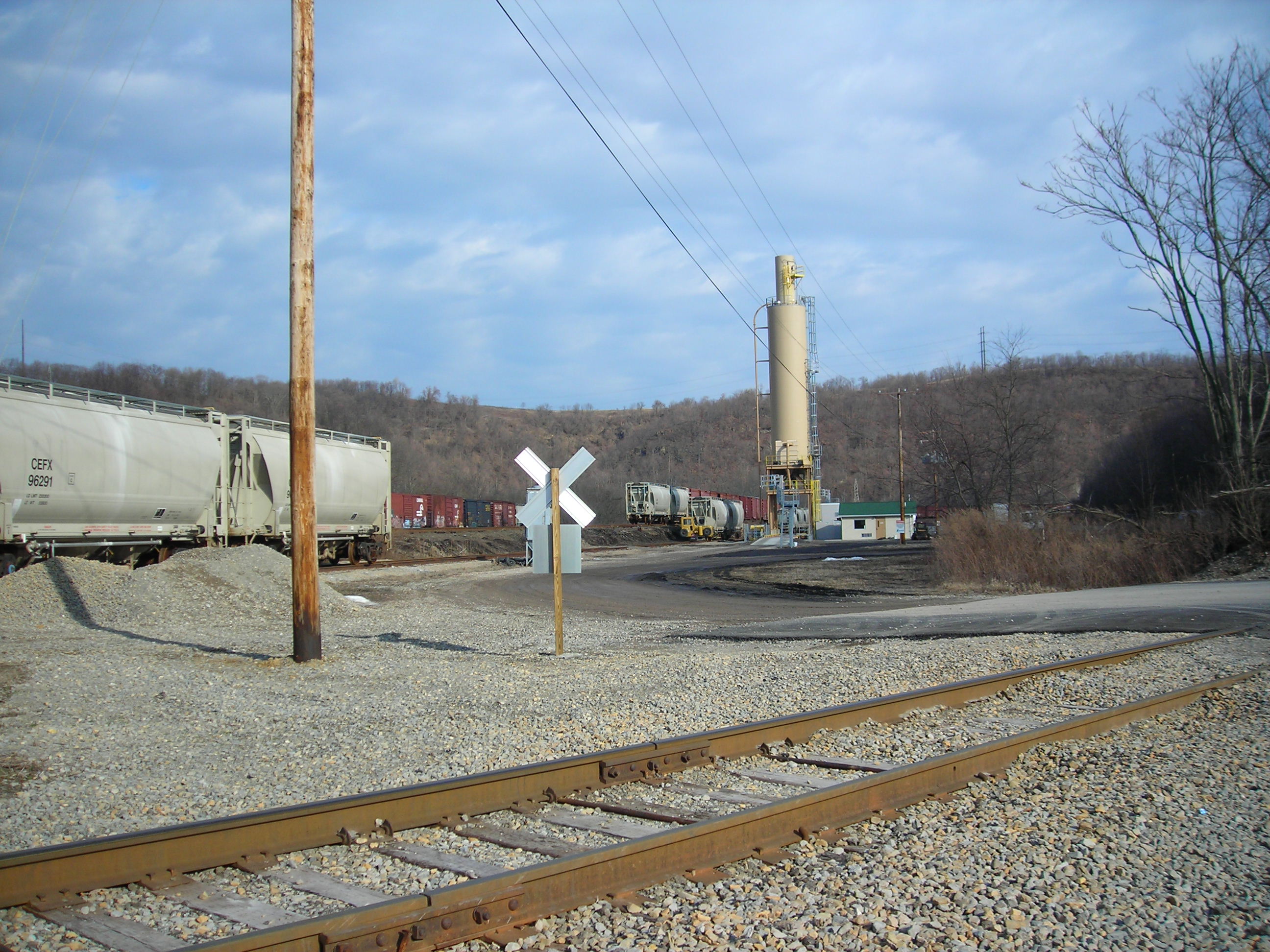
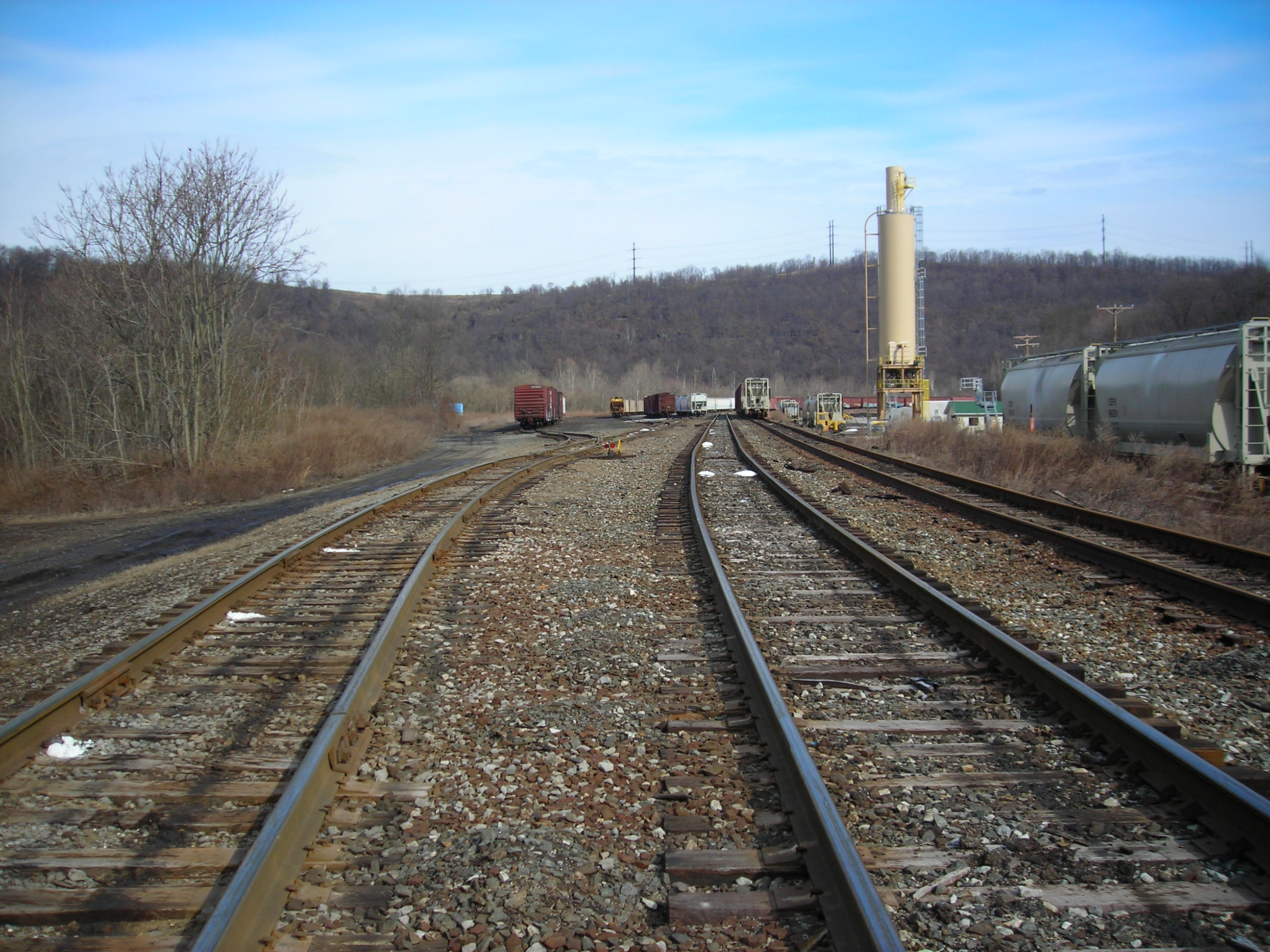
used for. There looks to be sometime of liquid transfer station as well
as the hopper loading tower. Ross
Johnson: The "hopper loading tower" is actually a cement storage tower
for LaFarge North America. They unload railcars and put it into trucks,
north of the silo is construction of a stone car unloader.
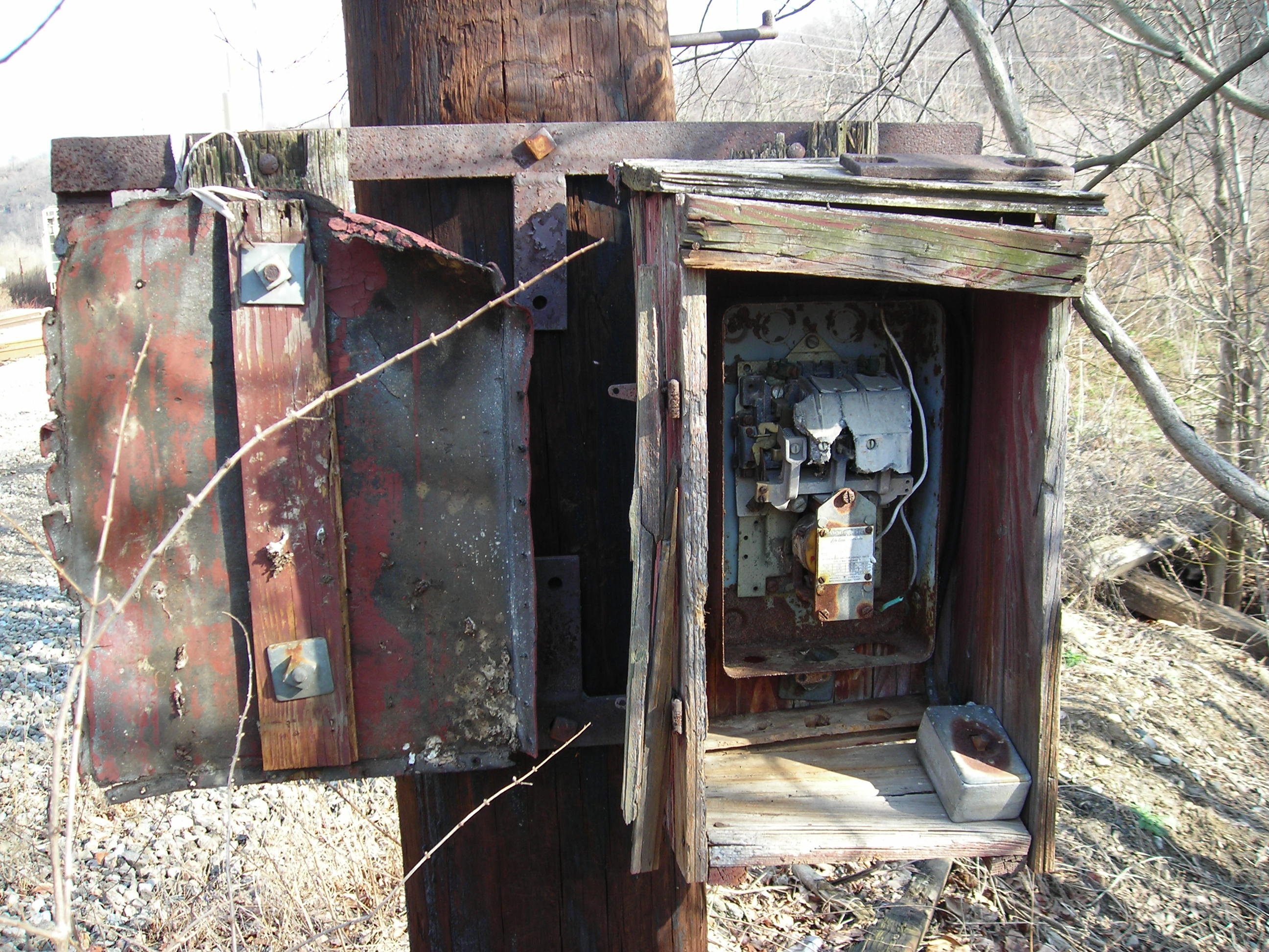
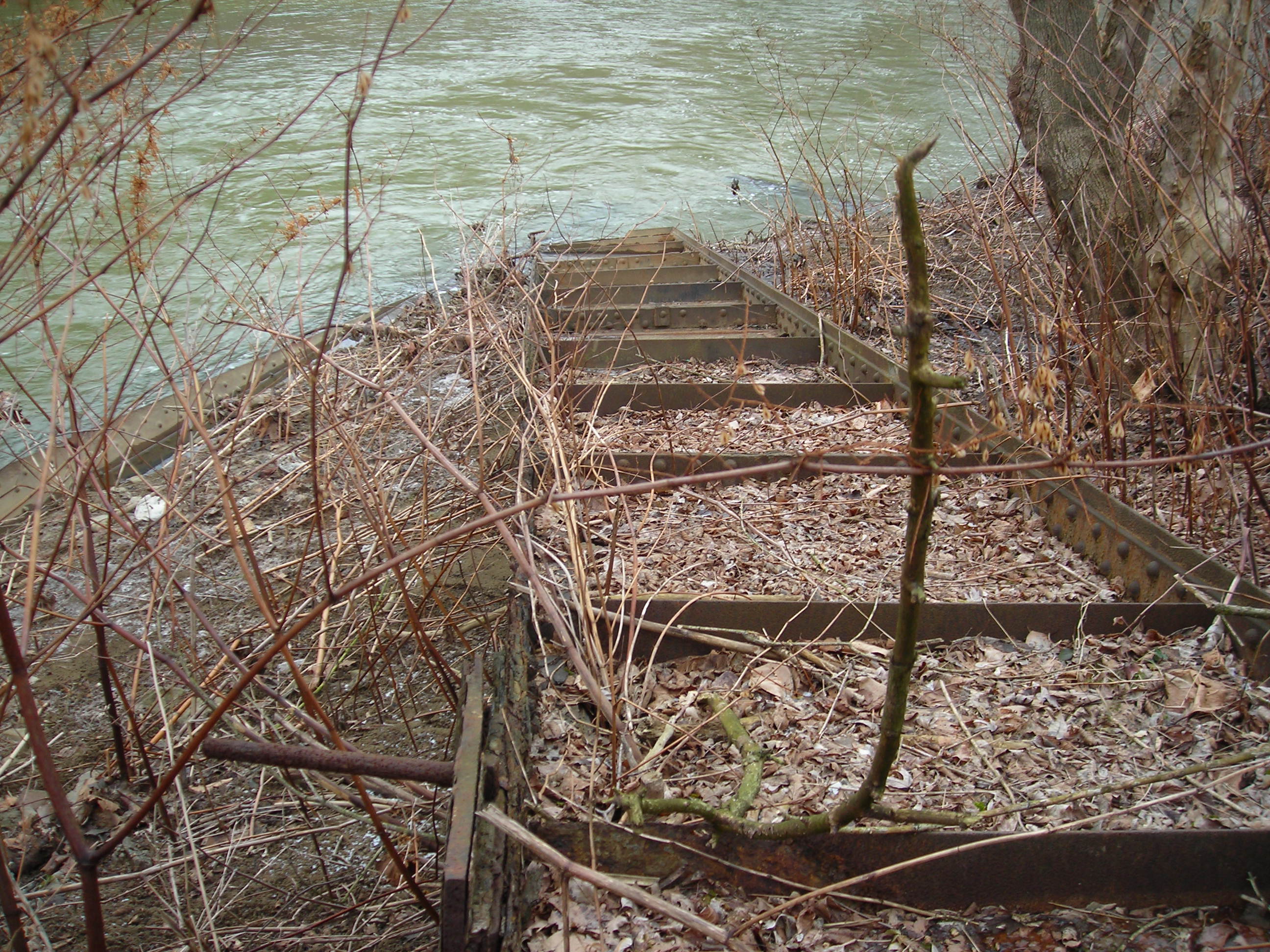
Near the bridge I saw this contraption still affixed to a telegraph
pole. This location along with the bridge is not the start of the yard.
That is closer to Thornburg Bridge. Perhaps this was used to
communicate with the roundhouse or control movements on the 'north'
side of the yard, the bridge dividing the north and south parts of
Scully.
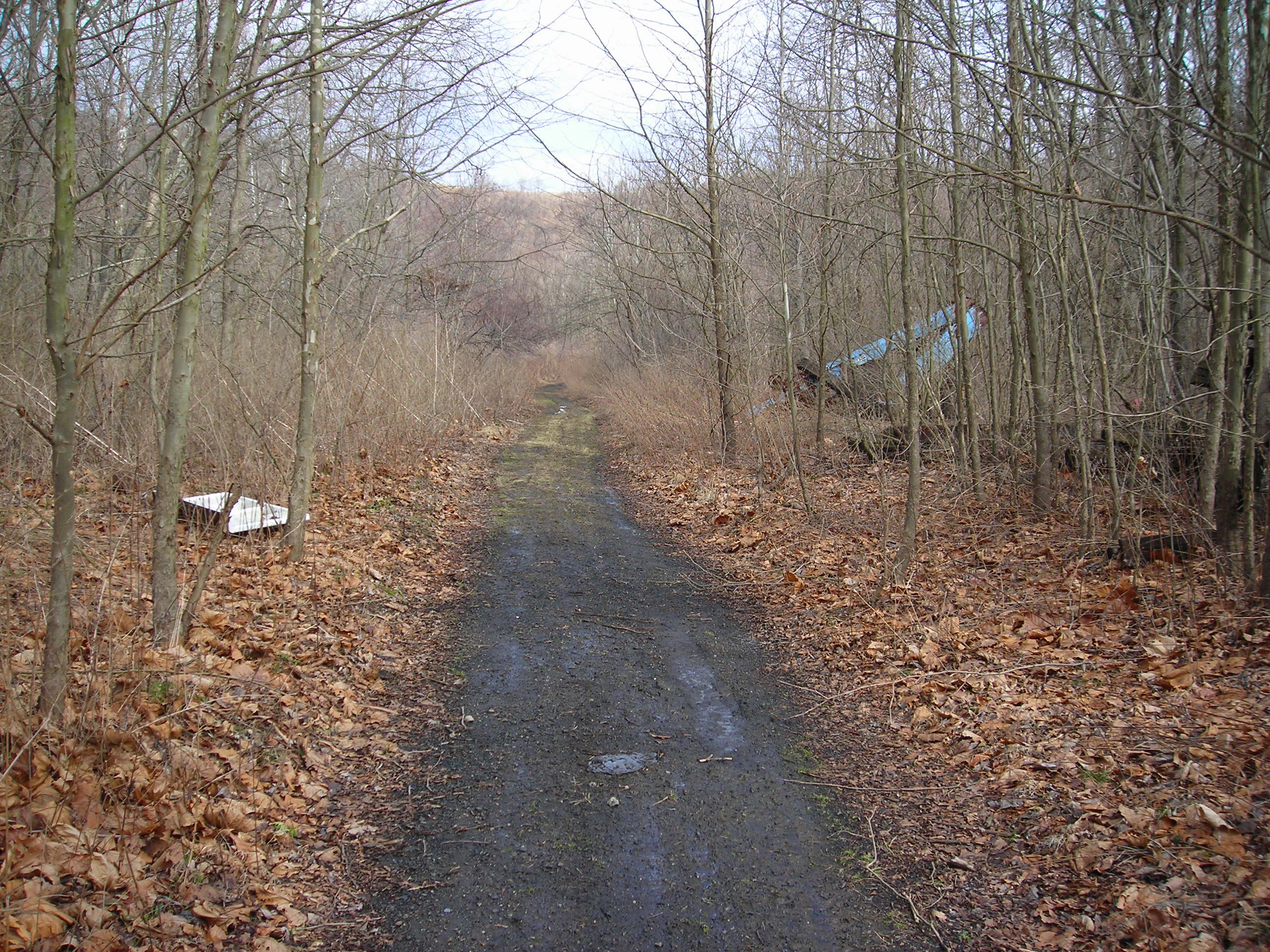
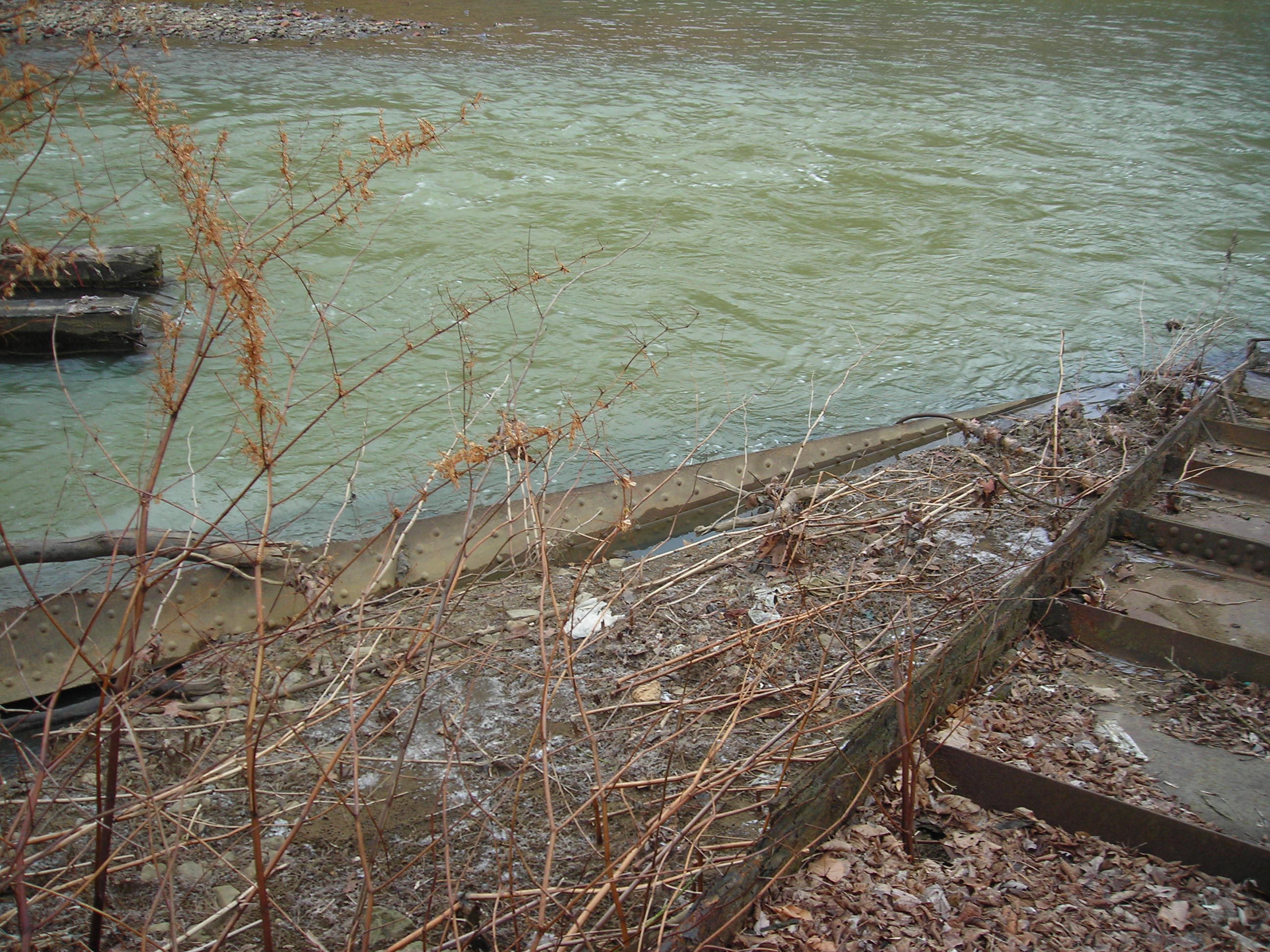
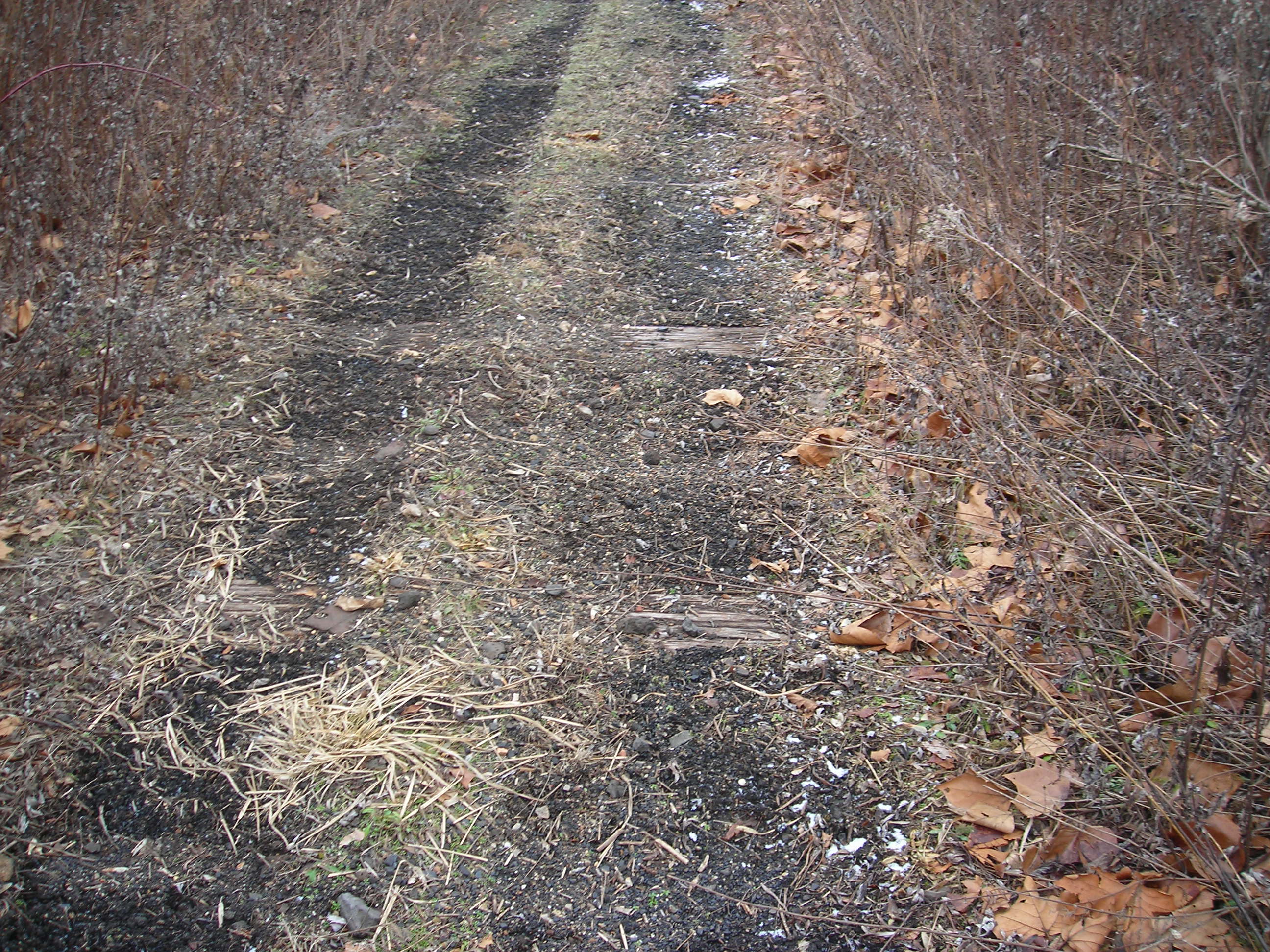
From there I had to cross the tracks to get to the access way to the
engine facilities. There is an old roadbed that veers off on the left
from the tracks that leads down to the facilities. You can see it on
the left of the 1938 image. The roadbed is of course lined with old
coal and ash preventing anything from growing in it. There are some
vehicle tracks in the bed so someone must drive down there every so
often. There is currently some type of load facility here as well. I do
not know what is being loaded at this place. The photo below is not at
the start of the path but further down the line but you can get the
idea of it's appearance.
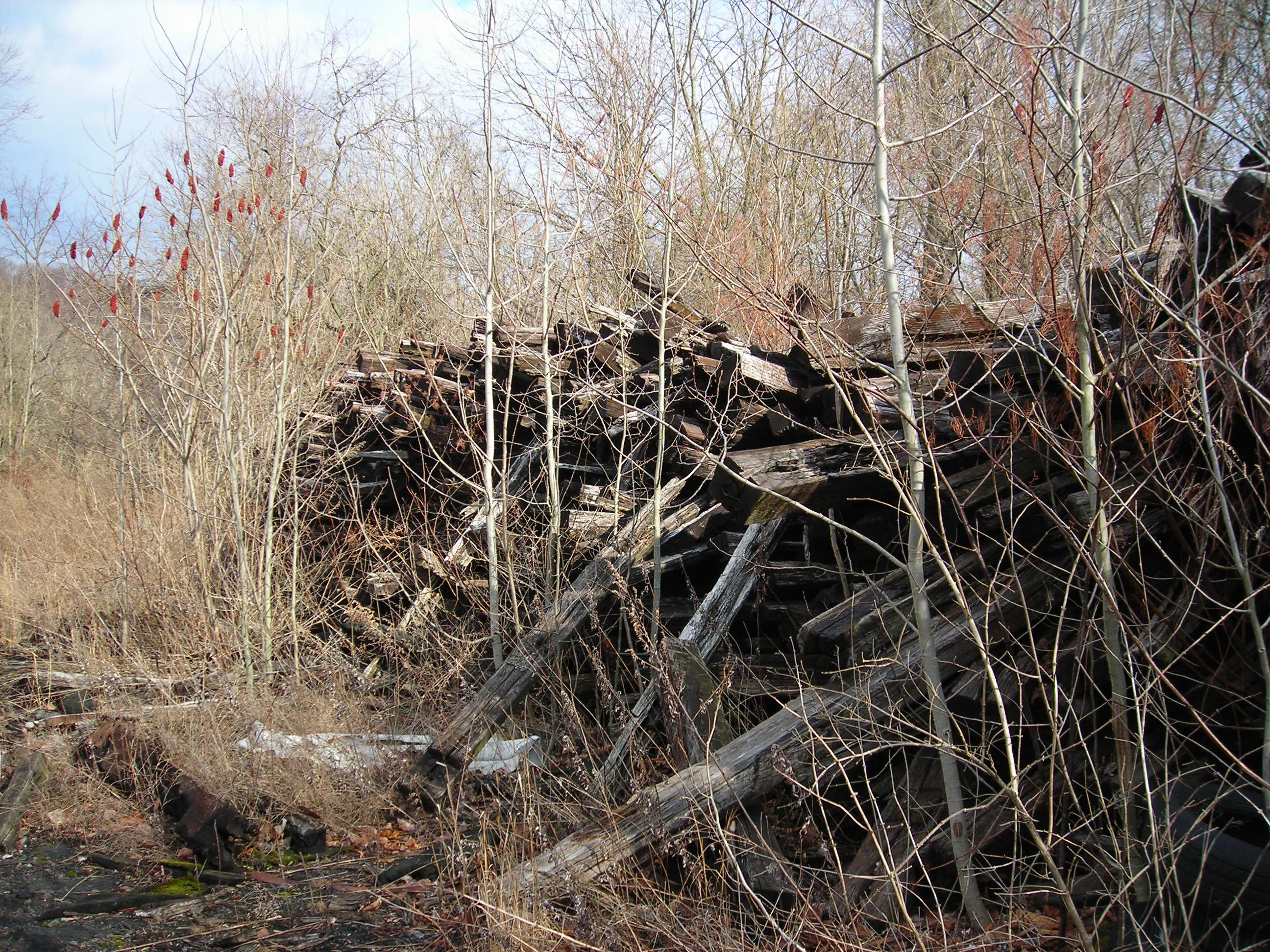
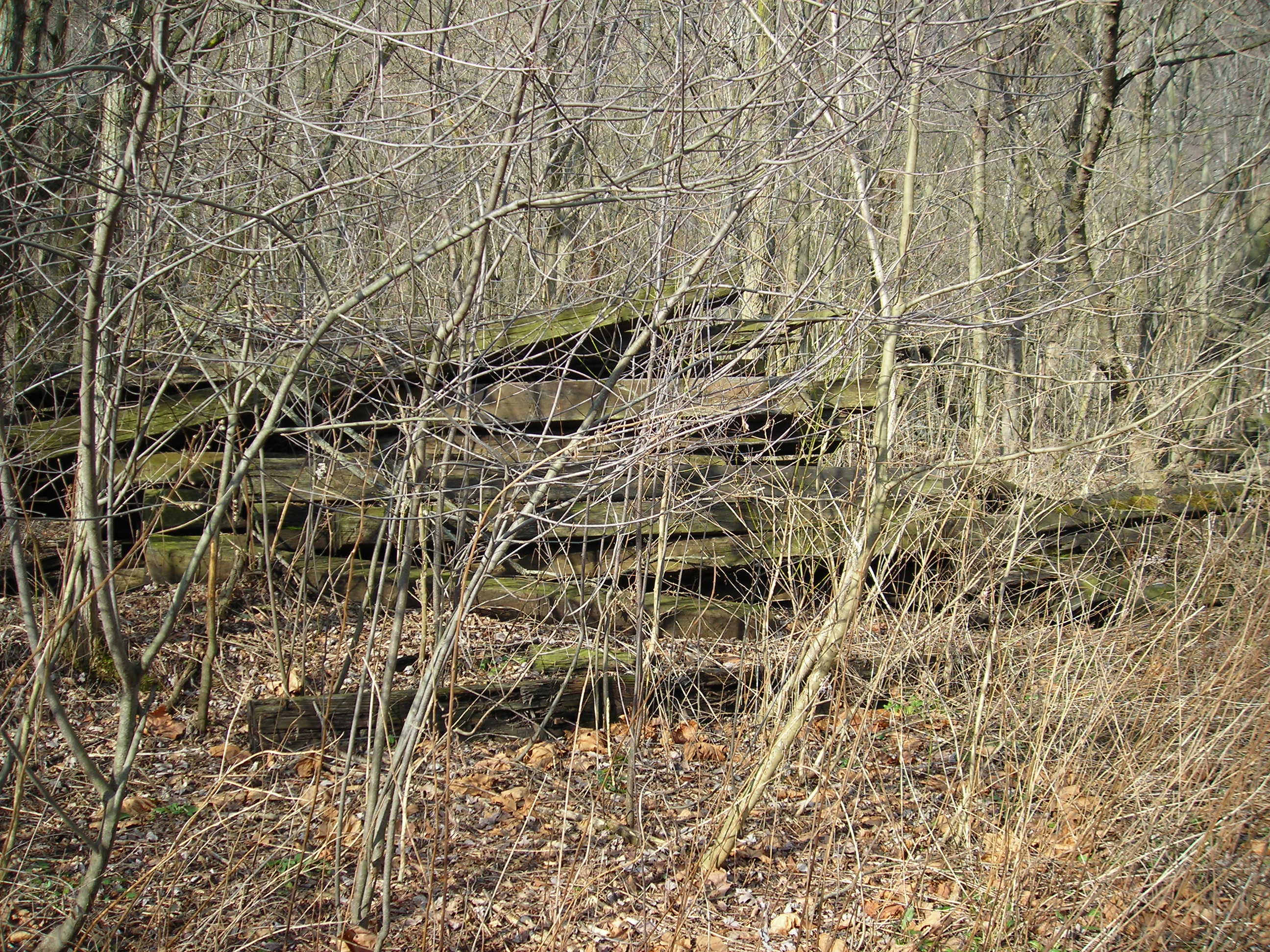
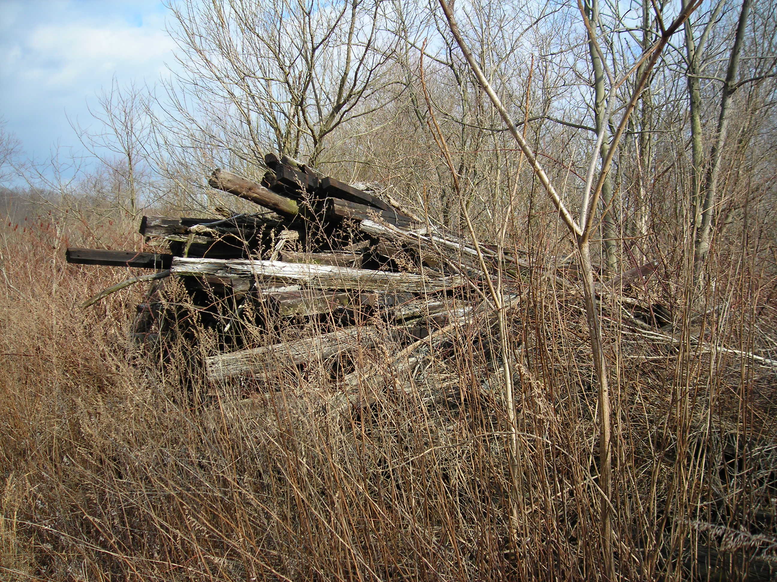
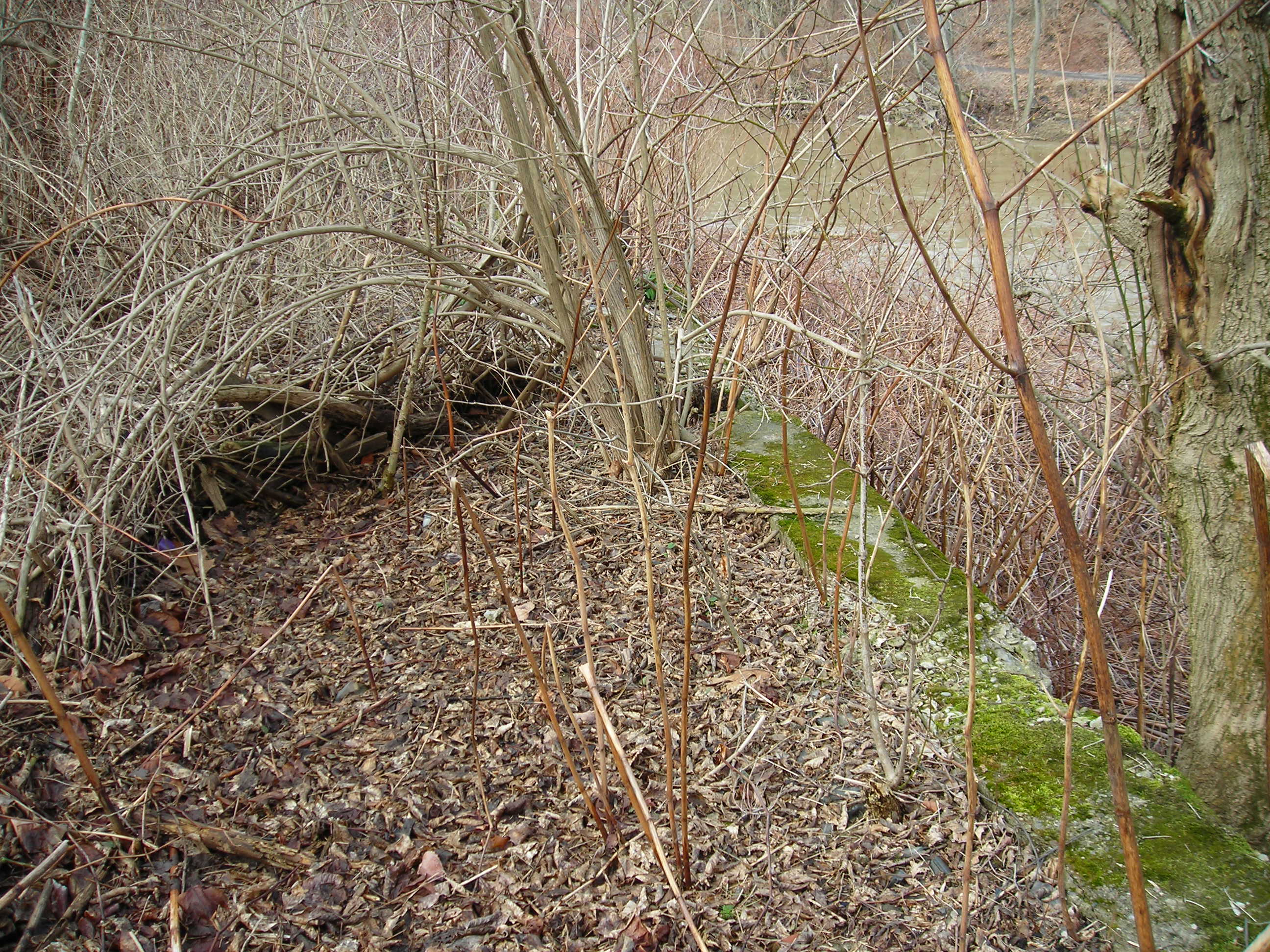
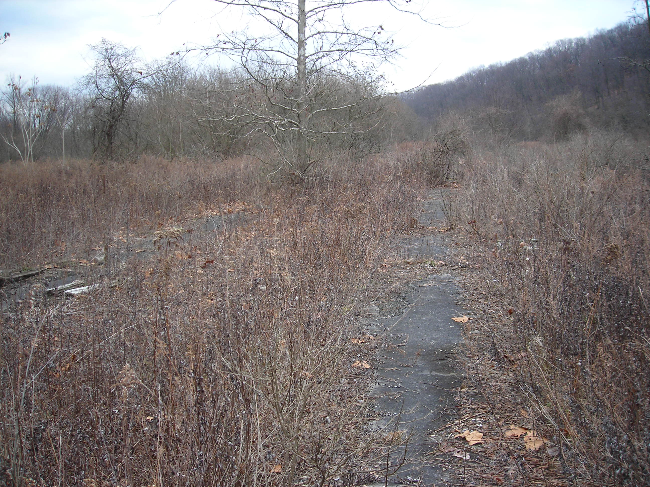
All along the path there are debris to the right and left, small
concrete structure, rusting metal, recent garbage dumps of construction
material and of course ties. Near the beginning of the path there are
stacks and stacks of old ties. Many with rail hardware still attached.
Some have been partially burned, it is a tie graveyard. You can see the
piles of ties from the aerial view from the link at the top of the page.
After passing through the tie piles I found this strange
metal piece. I have no idea what it is and would sure like to know.
Update Ross Johnson has said that is is a switch frog laying upside down, thanks Ross.
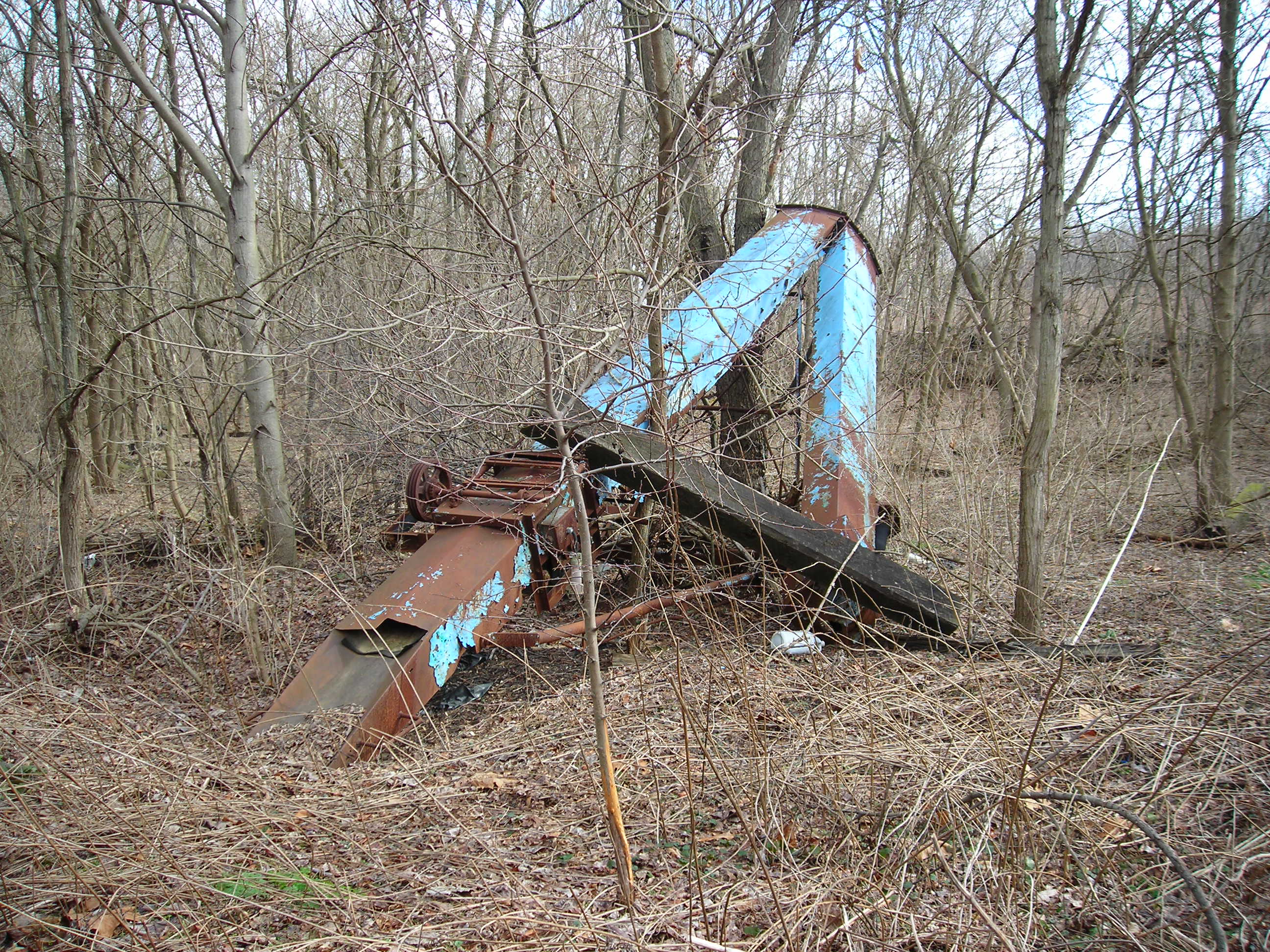
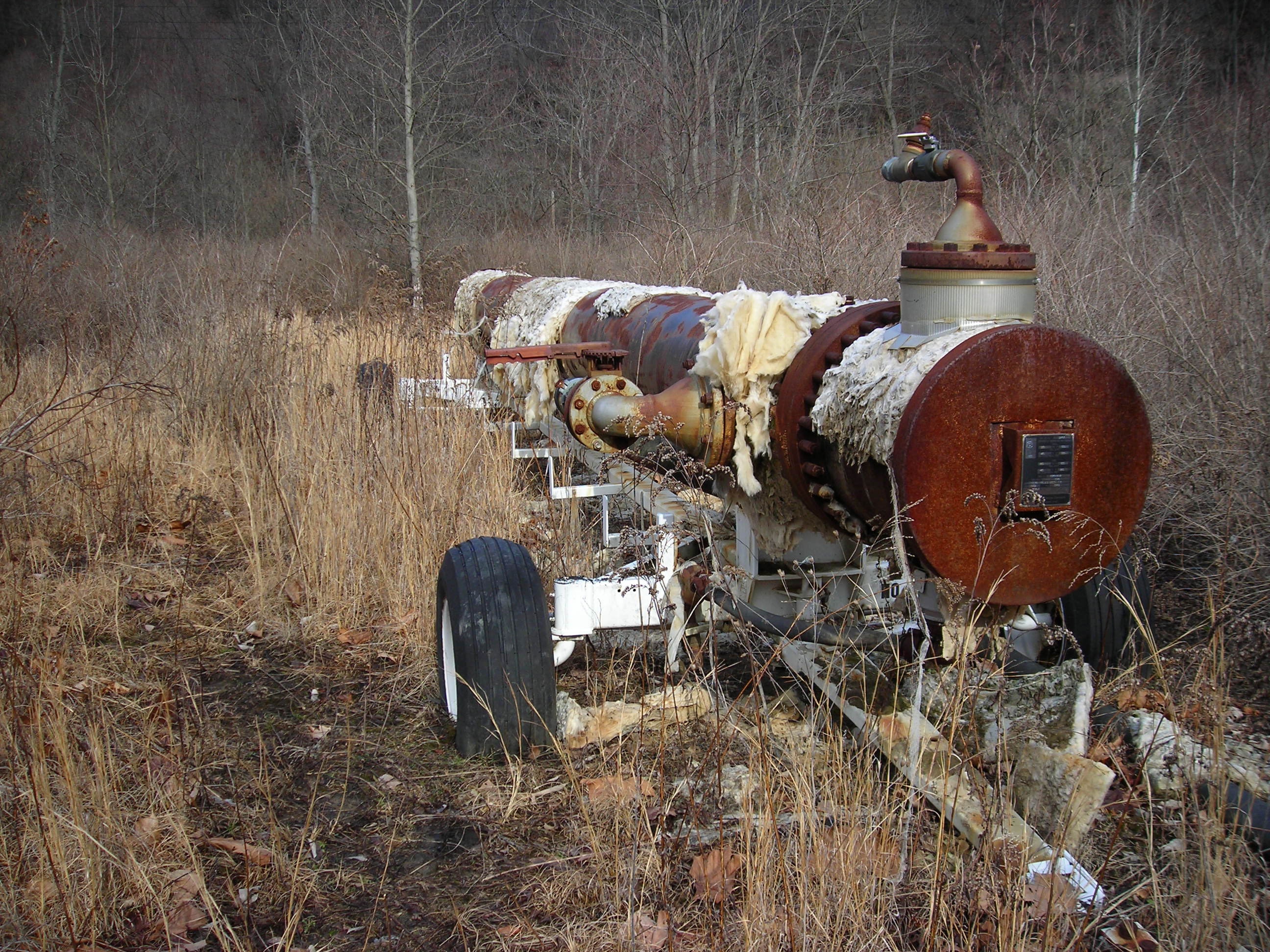
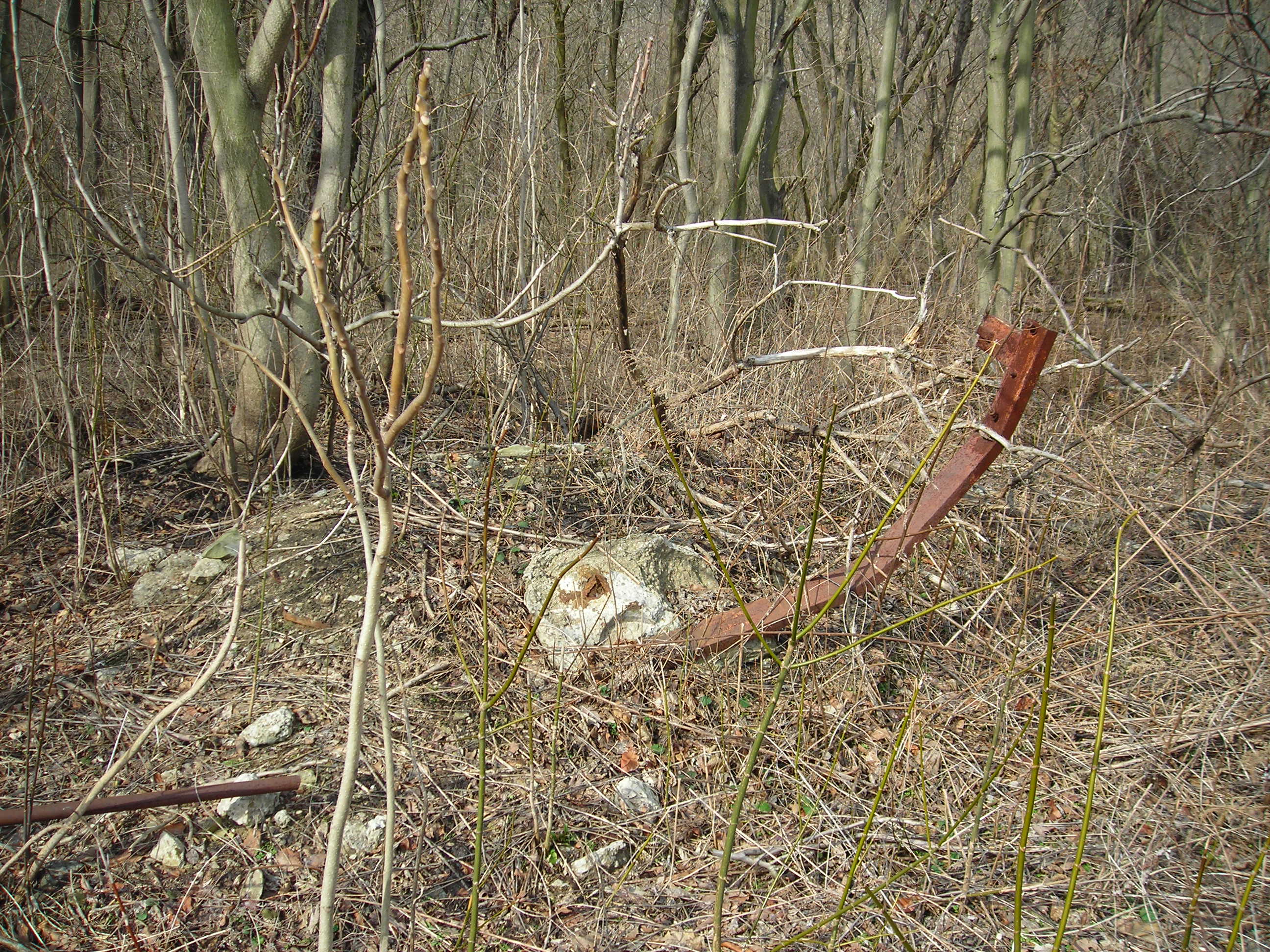
Moving further north and approaching the roundhouse area I found some
old abandoned farm equipment, at least that's what I think it is. If
anyone knows exactly what this is please let me know, especially if they are actually railroad related.
Agian
Ross Johnson corrects me and says that these are car unloaders. They
are used for covered hoppers. Gravity would drop the product on part of
the conveyer and then onto a pile or in a truck.
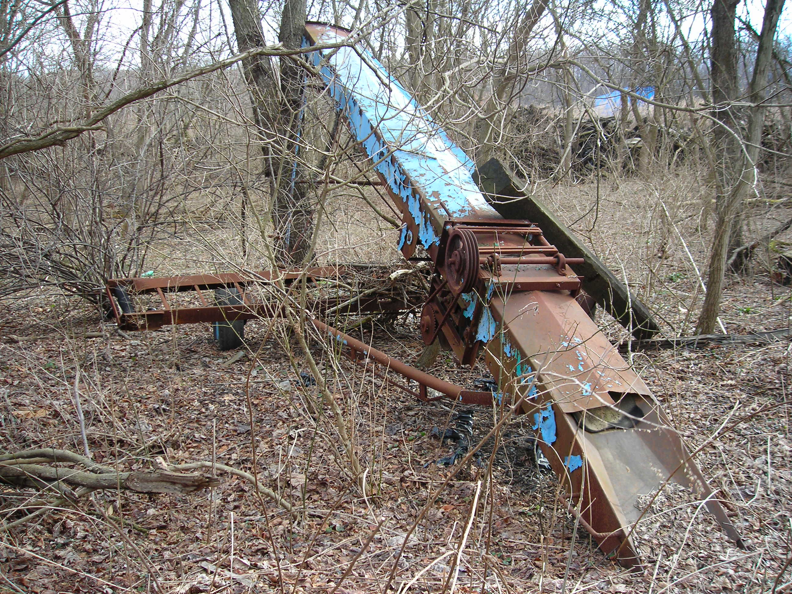
Here's another one.
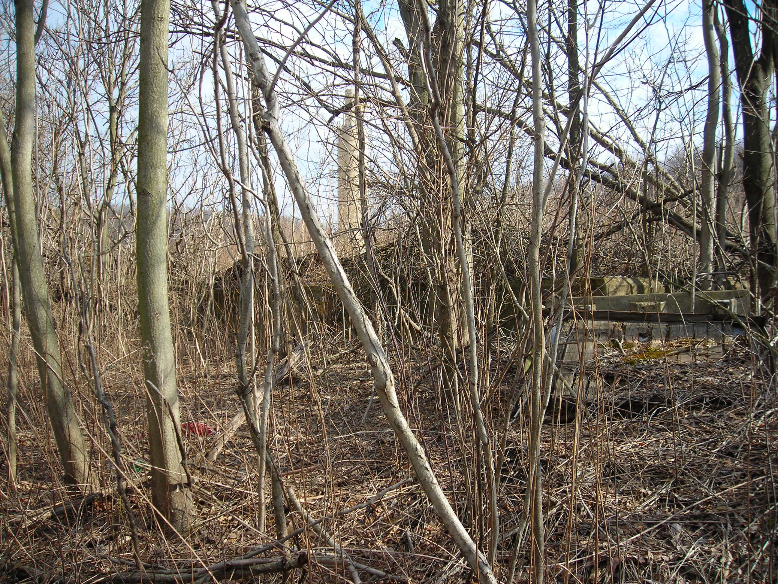
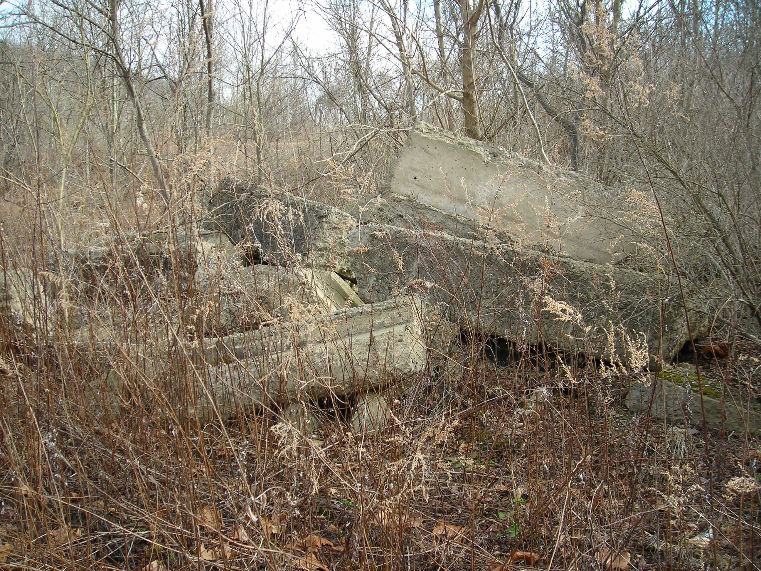
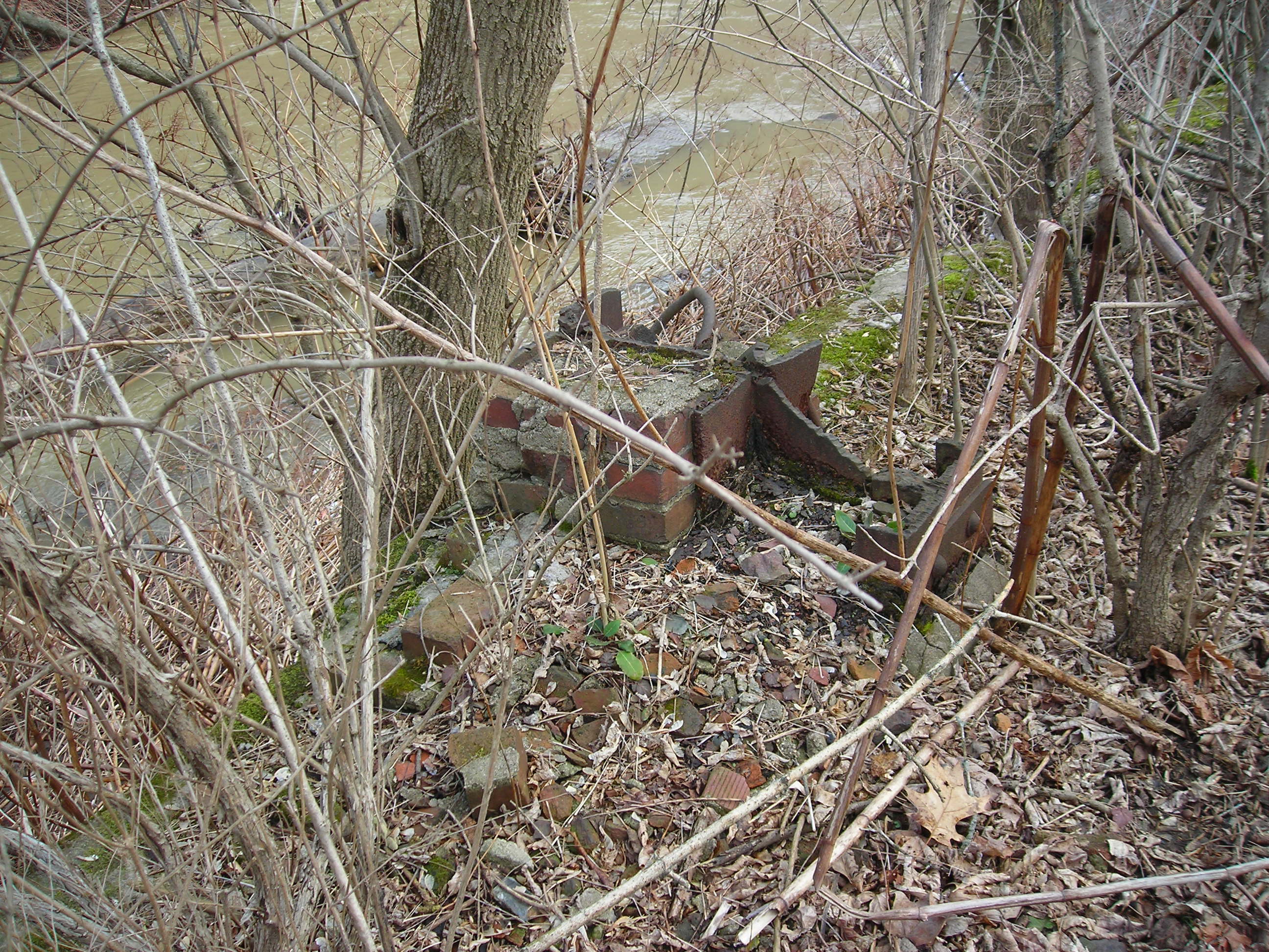
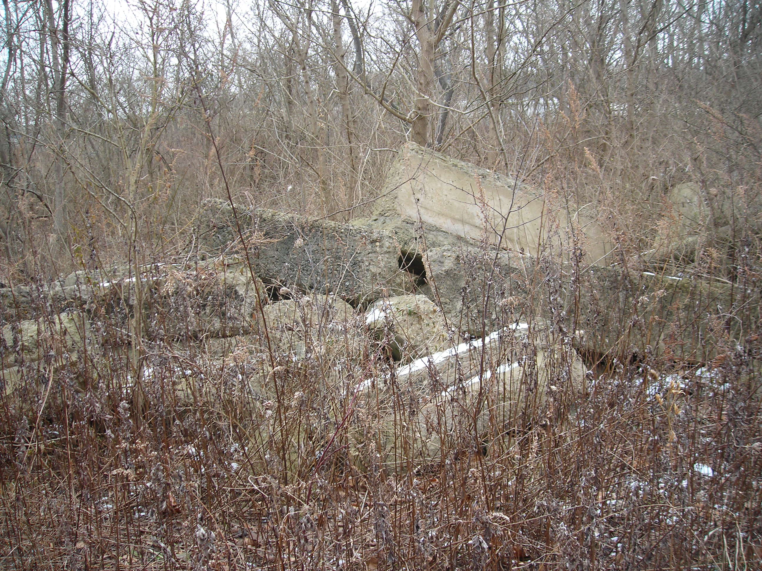
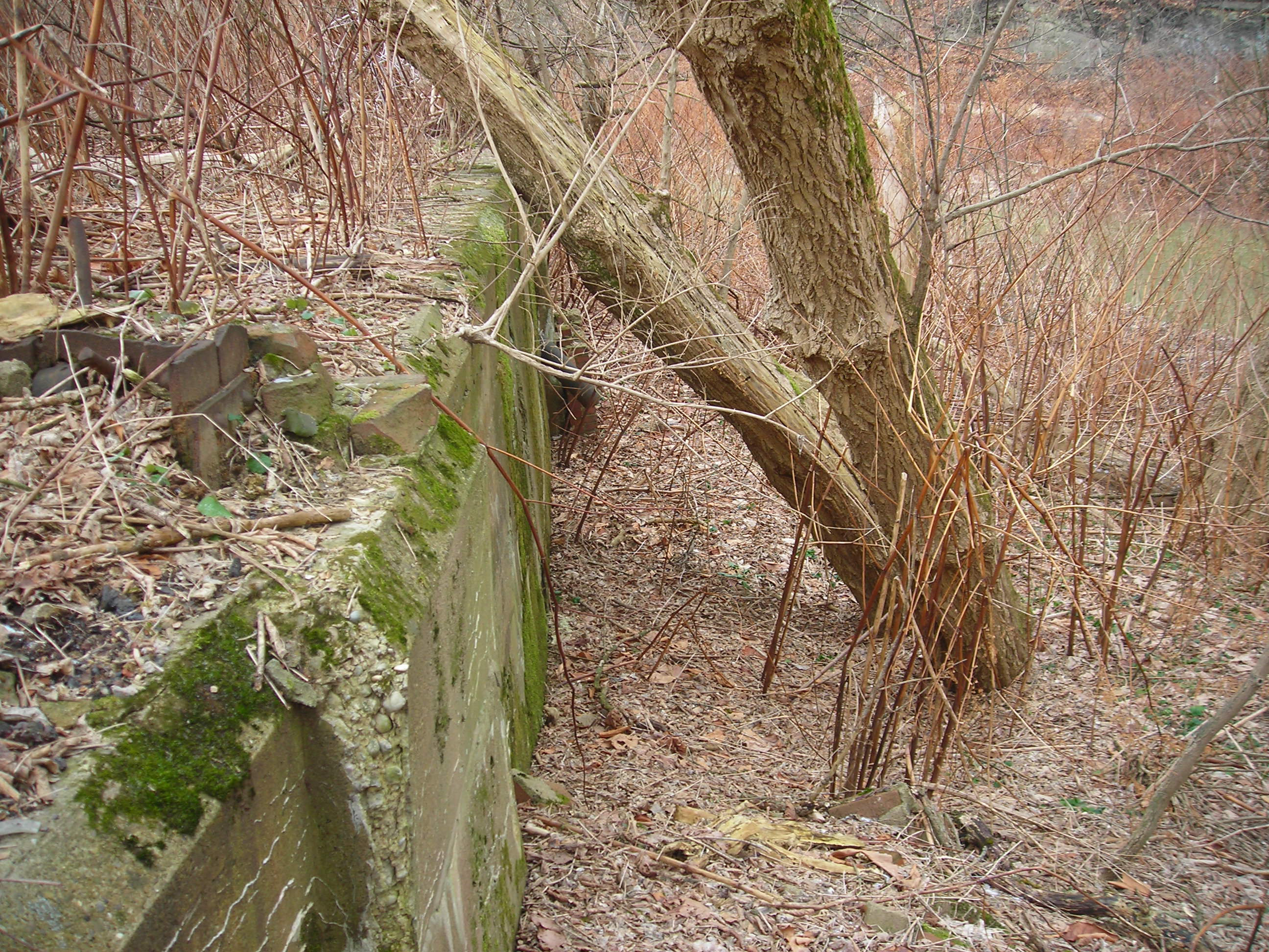
As I got closer to the roundhouse area I found these old concrete
remains. Looks like some had been moved there from the demolition of
the buildings.
At this point I was running out of time so had to complete my survey
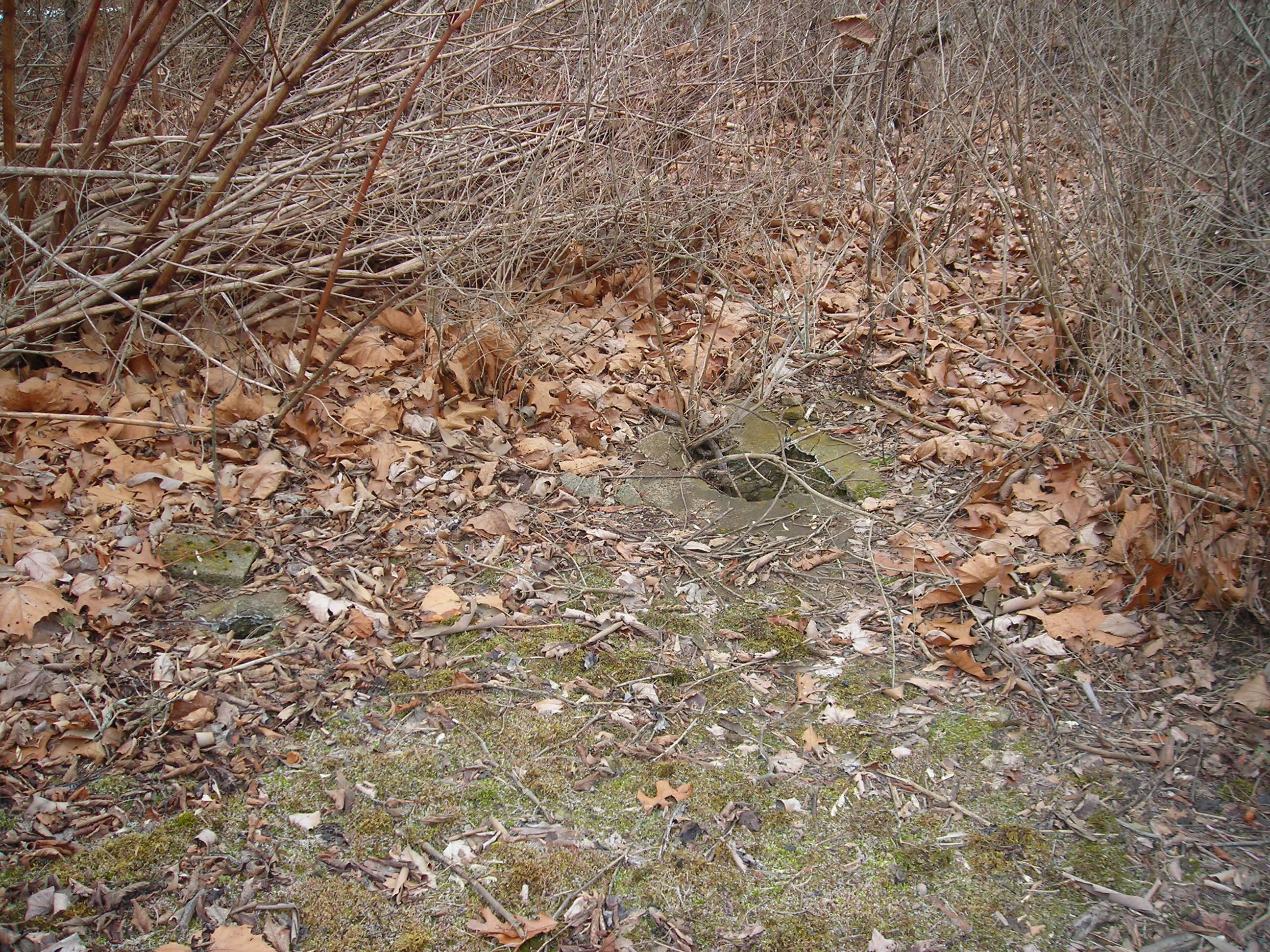
quickly. One of the first things I noticed when I approached the
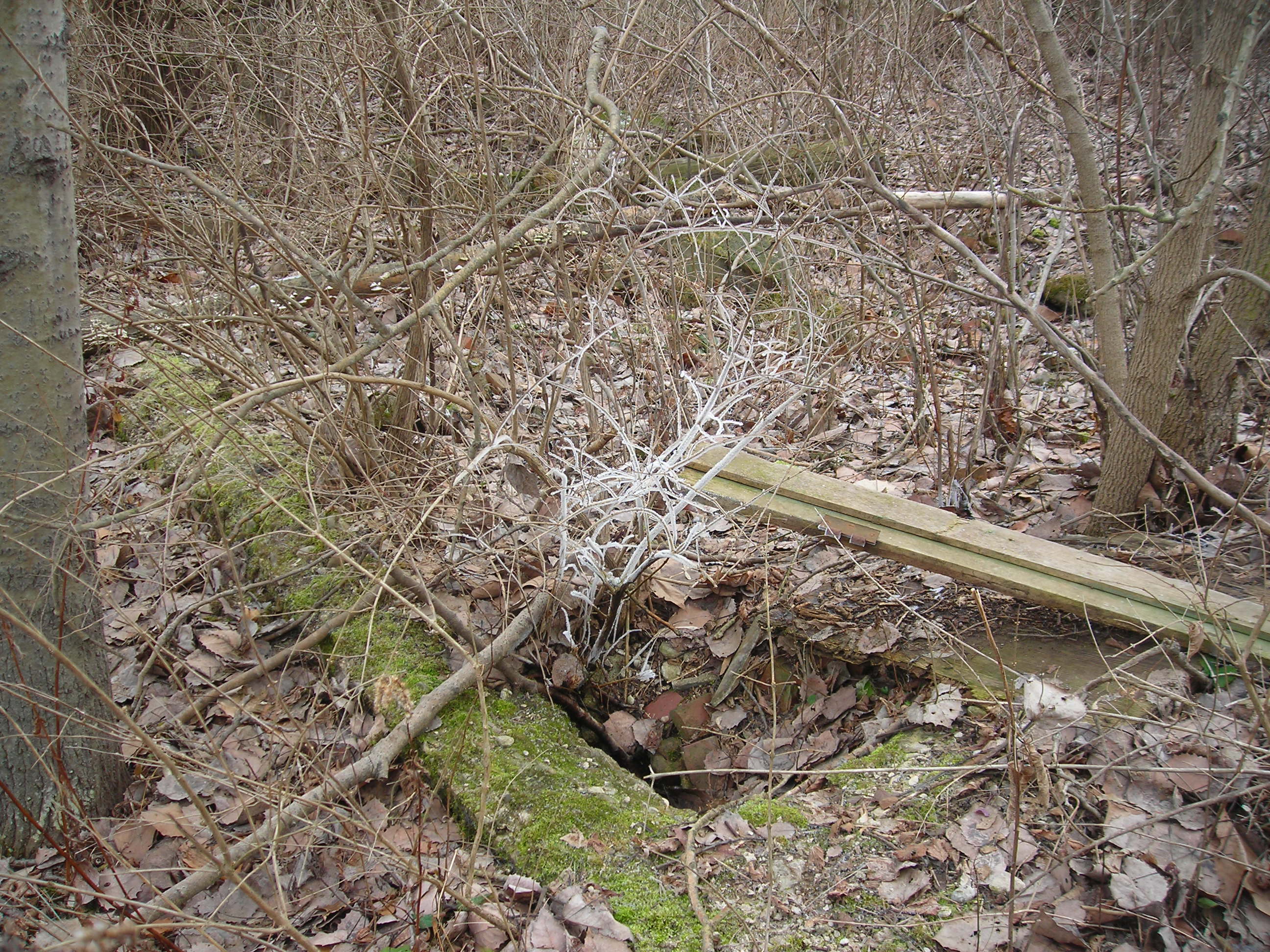
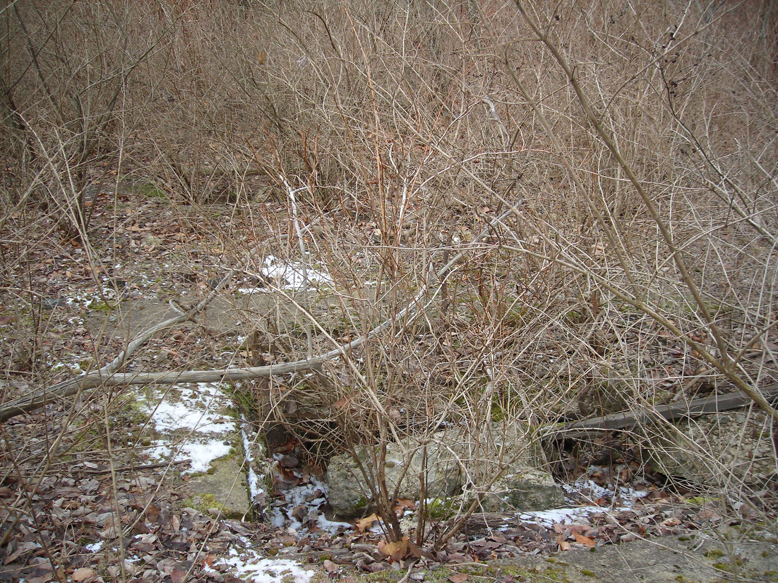
roundhouse area is an old well. This well may have at one time housed a
pump to fill a water tank that then filled the steam engines.
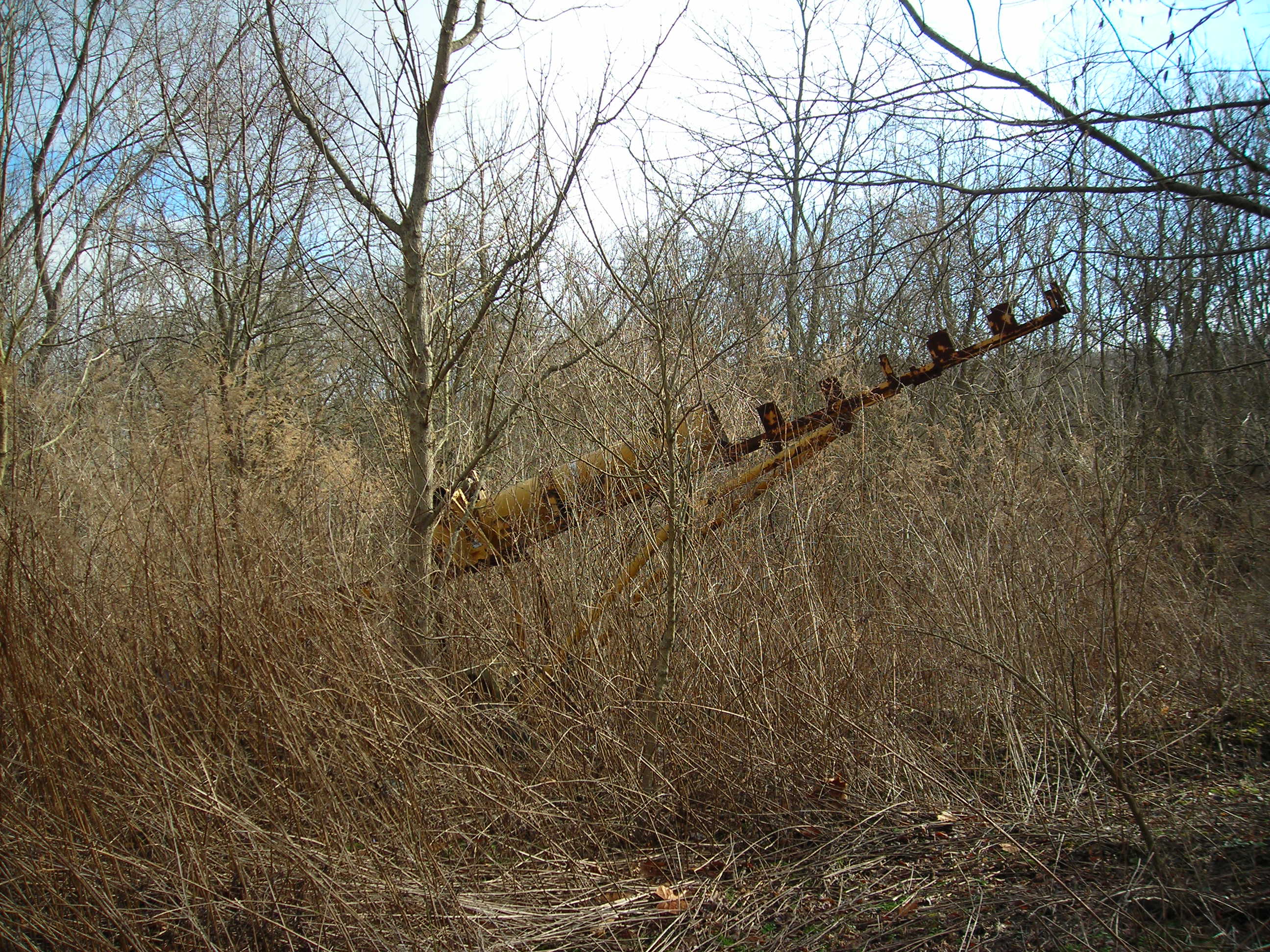
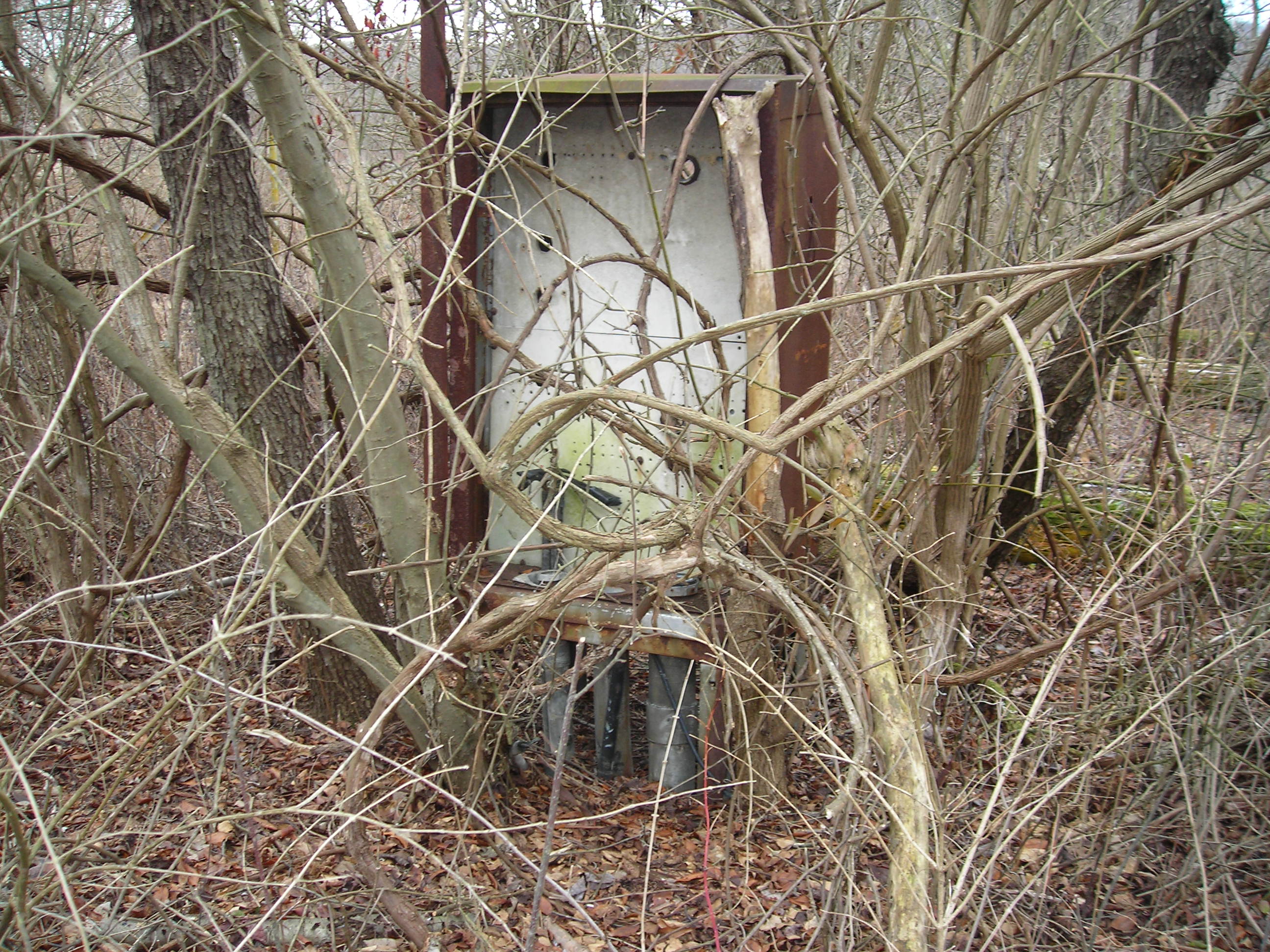
This old contraption was also found near the roundhouse. It has been
setting here for quite awhile and is visible from the satellite photos.
Maybe it's some kind of rocket launcher. This device is right at the
roundhouse area.
I first came upon the buildings to the right of the roundhouse.
The concrete floor of the buildings is still there littered with these
dark bricks. I didn't pick them up and examine them closely, that's for
the next trip.
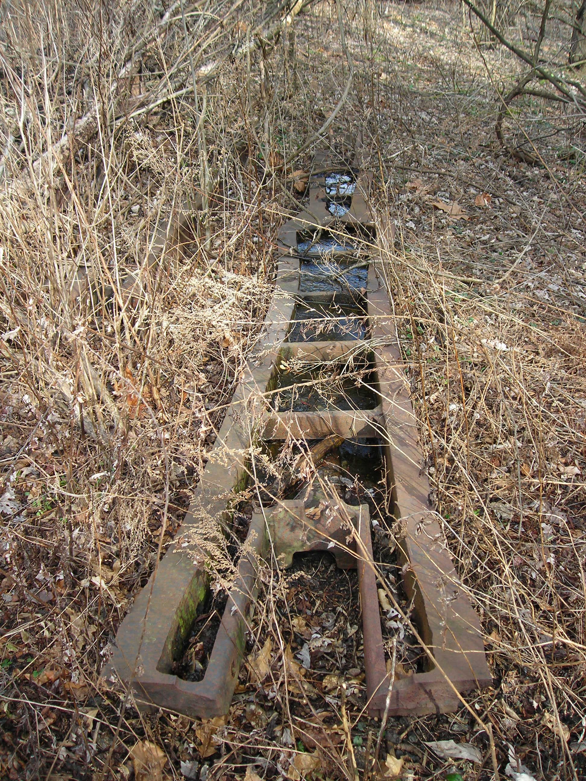
Here are the pits that were used to service the steam engines inside of
the roundhouse. The pits have be filled in for the most part buy the
demolition teams. Tress and other vegetation are growing out of the
pits as well. They are hidden deep in the thickets.
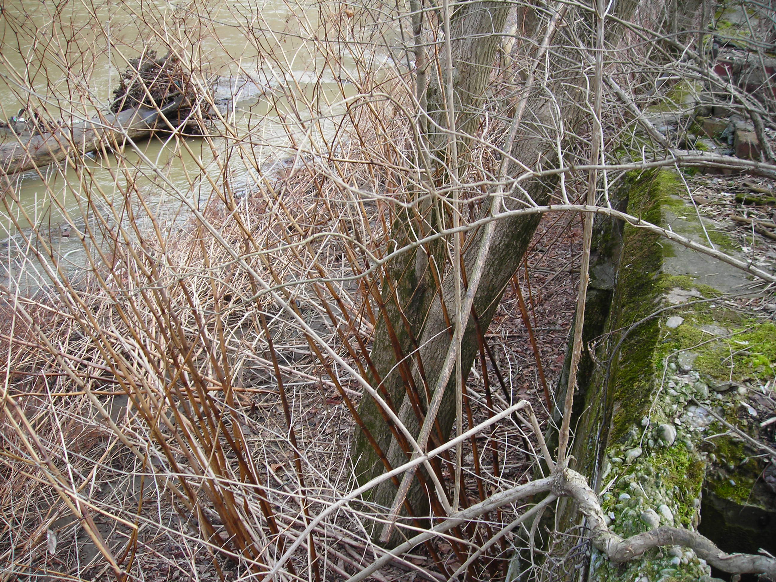
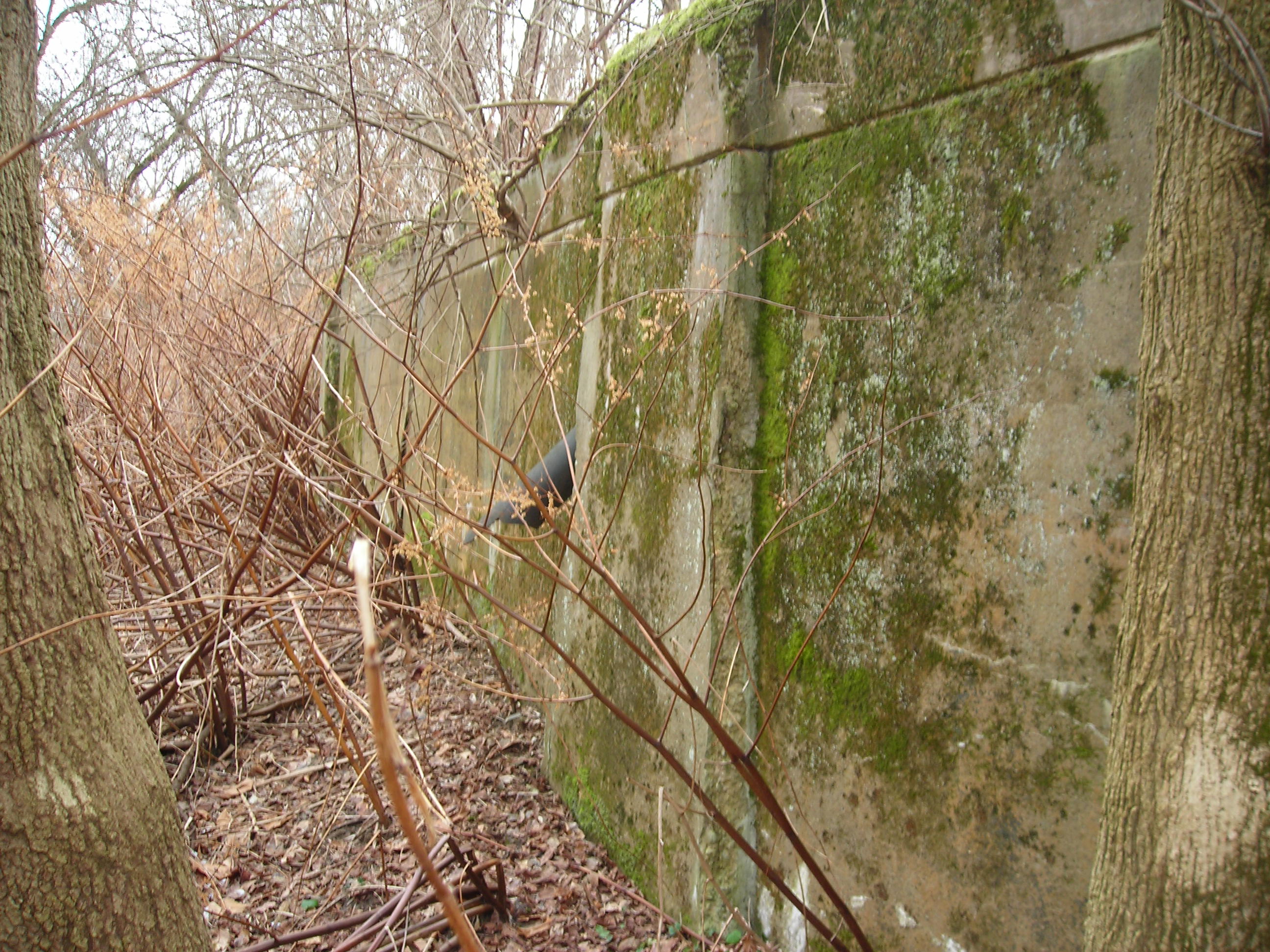
The back wall of the roundhouse is clearly evident from the satellite
photos and from on the ground. It is about 5 ft high on the creek side.
I was only able to get to about 1/2 of the wall due to time. On the
next visit I will get some shots of the roundhouse wall from the creek.
This conclude my quick jaunt through the remains of Scully Yard. I plan
on getting back there soon to see more of the remains and take a closer
inspection of the grounds. On the way back out of Scully I snapped a
few mor shots of the area. This one is of the general roundhouse area.
I believe the flat area in the photo is where the turntable was
located. I should be able to trace the turntable from markings in the
ground. I wonder what a shovel would turn up.
I found this last picture back near the beginning of the track. I wonder if it held some type of signage for the yard.
I hoped you enjoyed my little trip back into time at the Scully Yard.
When I get some more pictures and information I'll post it. Please feel
free to contact me with additions, corrections or anything else about
the area at
ken.caine@montourrr.com
TRIP 2
Below is a collection of photos from my second trip into Scully Yard. Organization will come later, I hope. Some of the pictures I recorded the GPS coordinates. If you notice they are at end end of the pictures. I didn't think about recording the location until I was near the end of the trip. Next time I will be more careful and get all of the pictures coordinates and relate them to the map. That will be my project for the third trip.
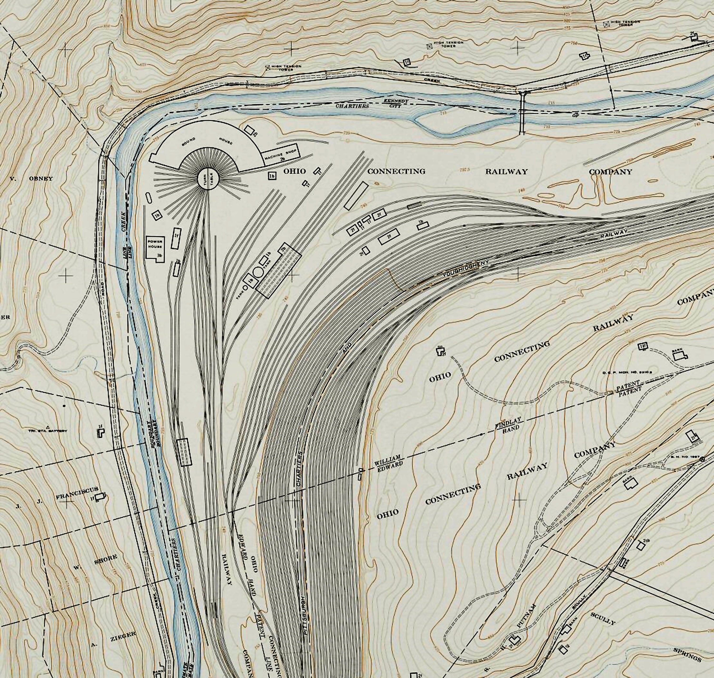
Here is a map of the old Scully Yard, Part of the Ohio Connecting Railway.
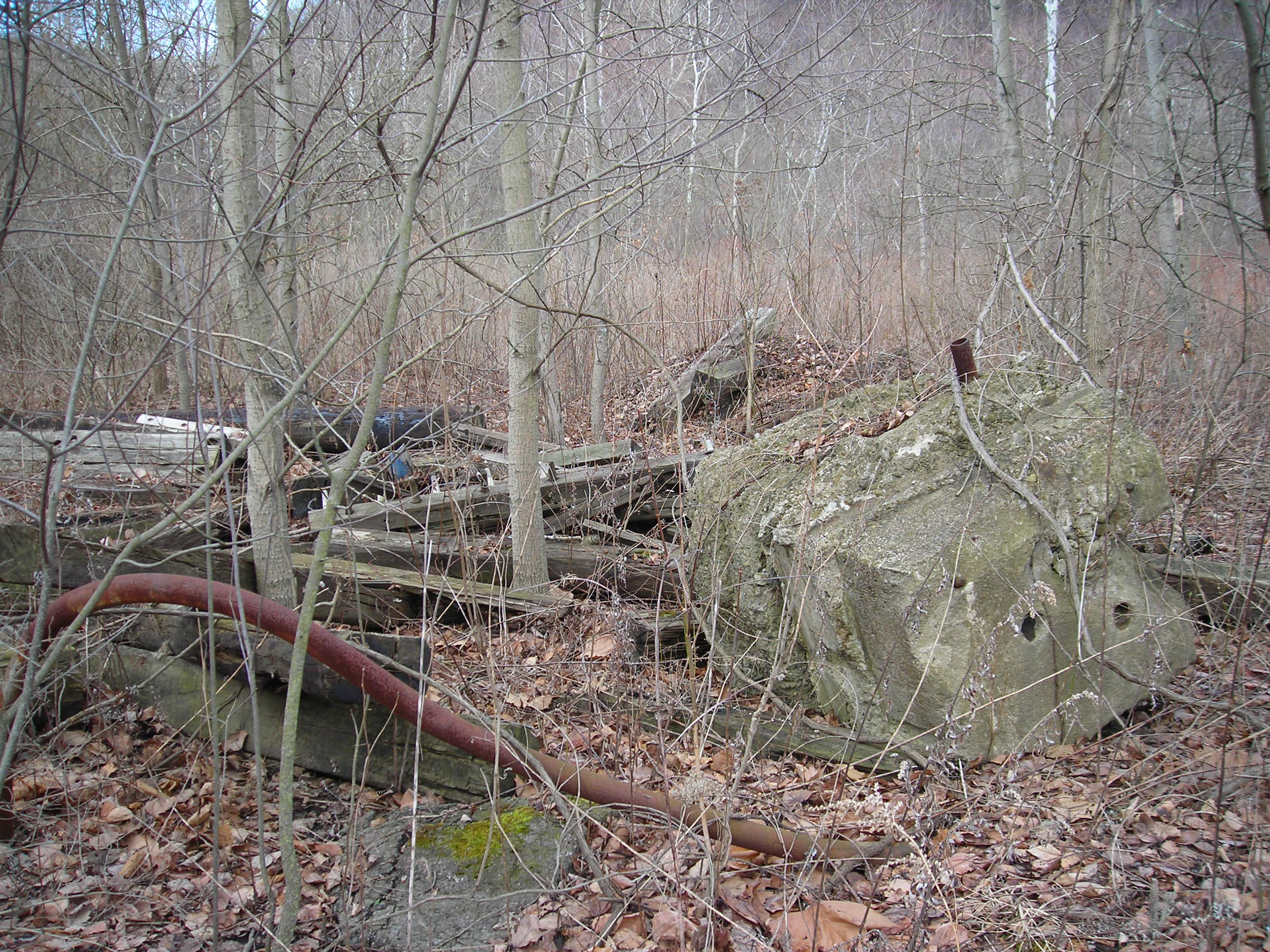
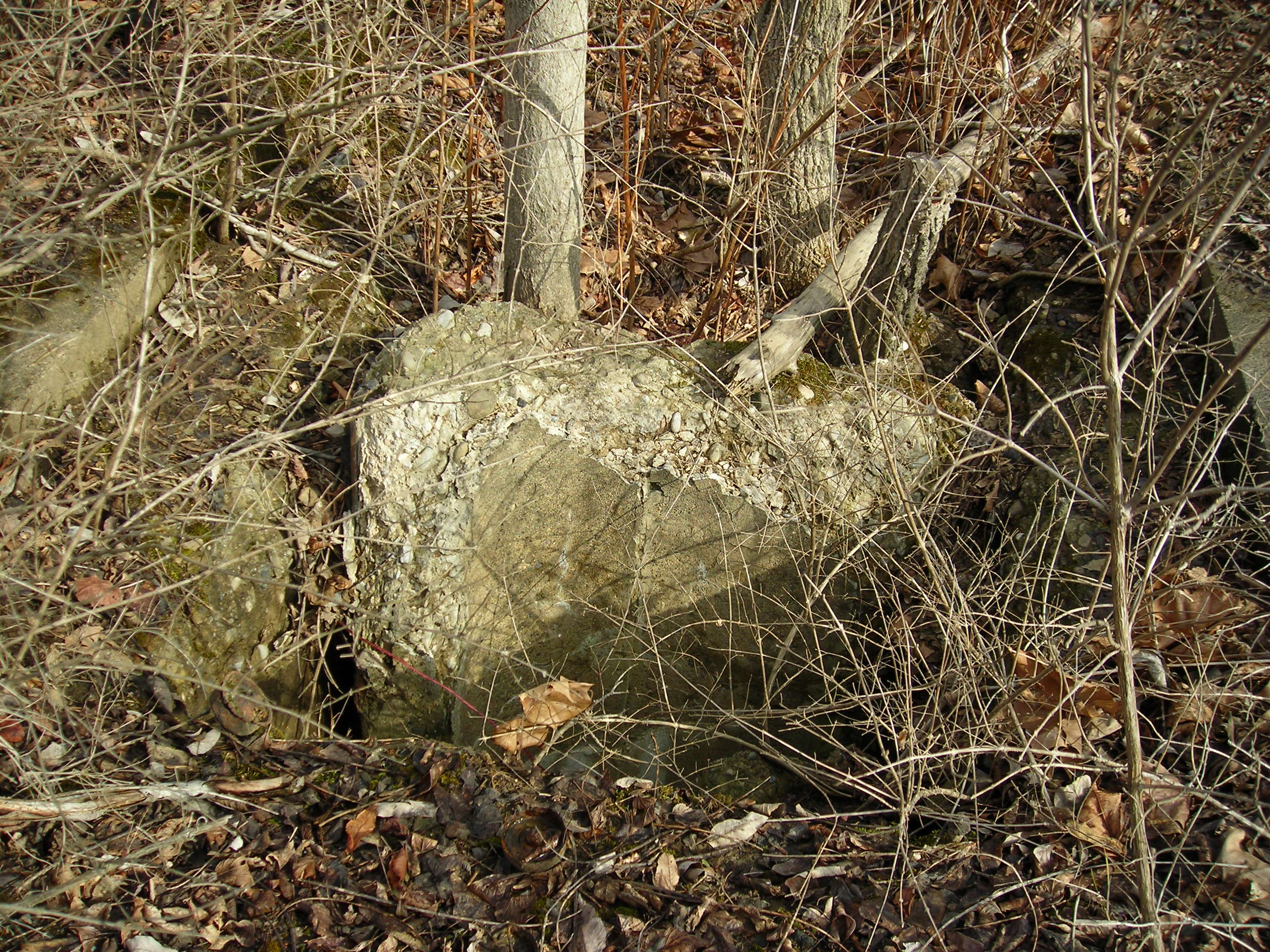
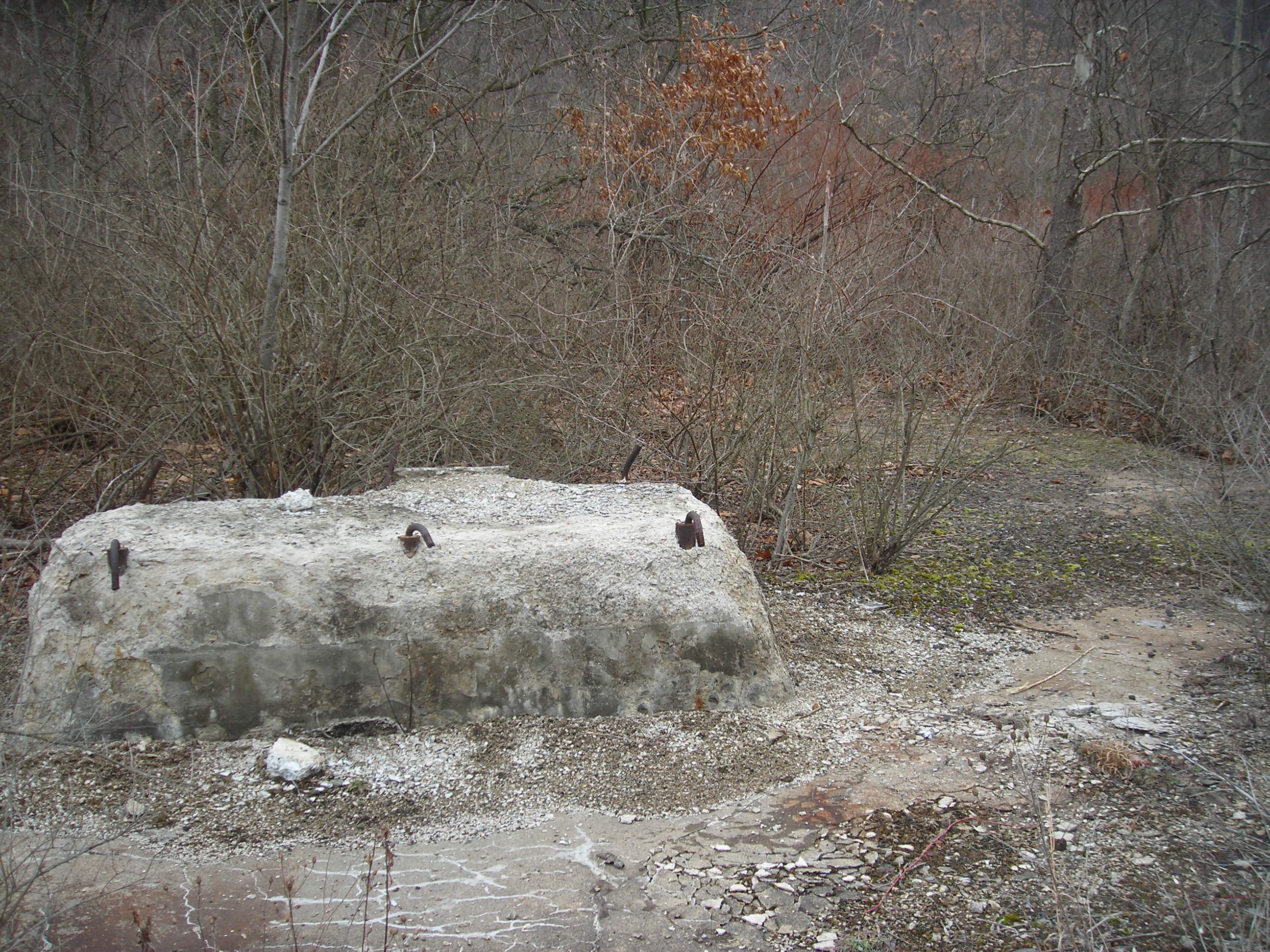
 Some old concrete piled up as you enter into the yard
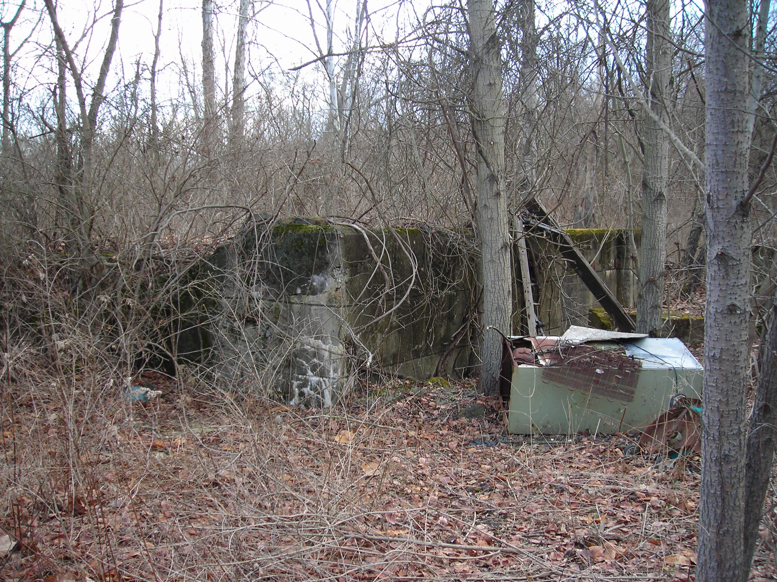
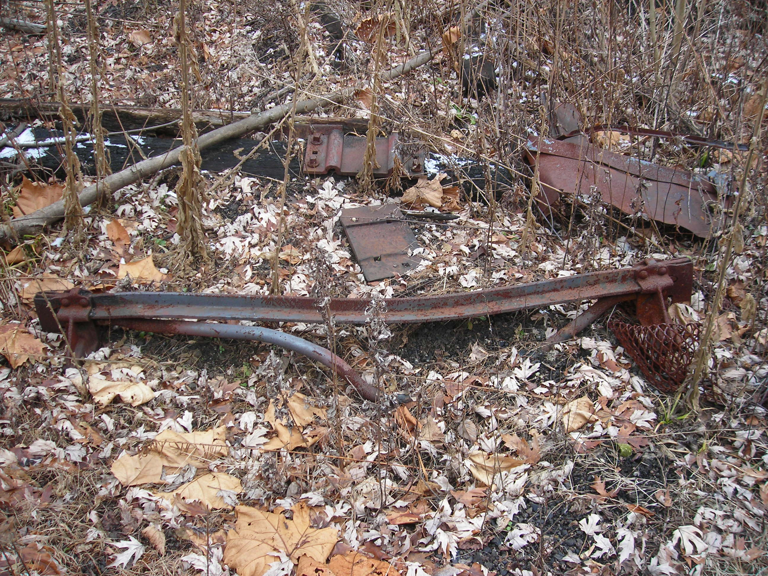
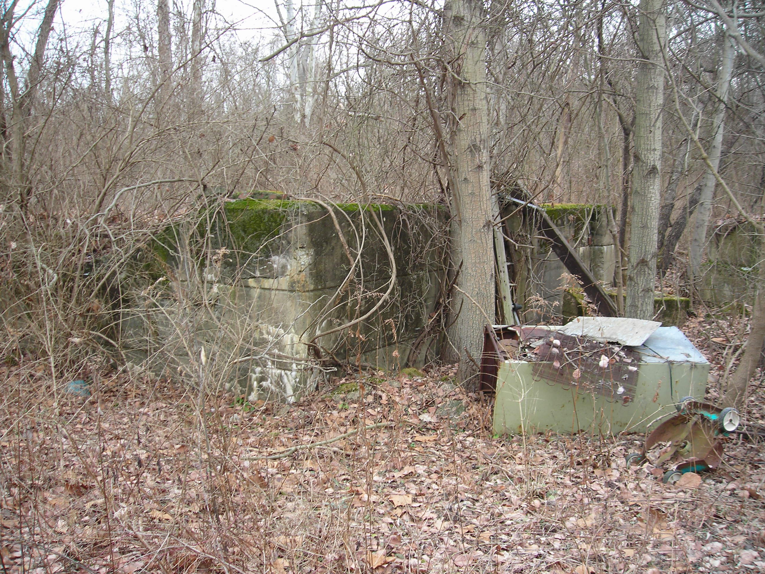 Remains of a foundation, lawn mower and refrigerator.
 Here is an old pipe end I found near the foundation in the picture above.
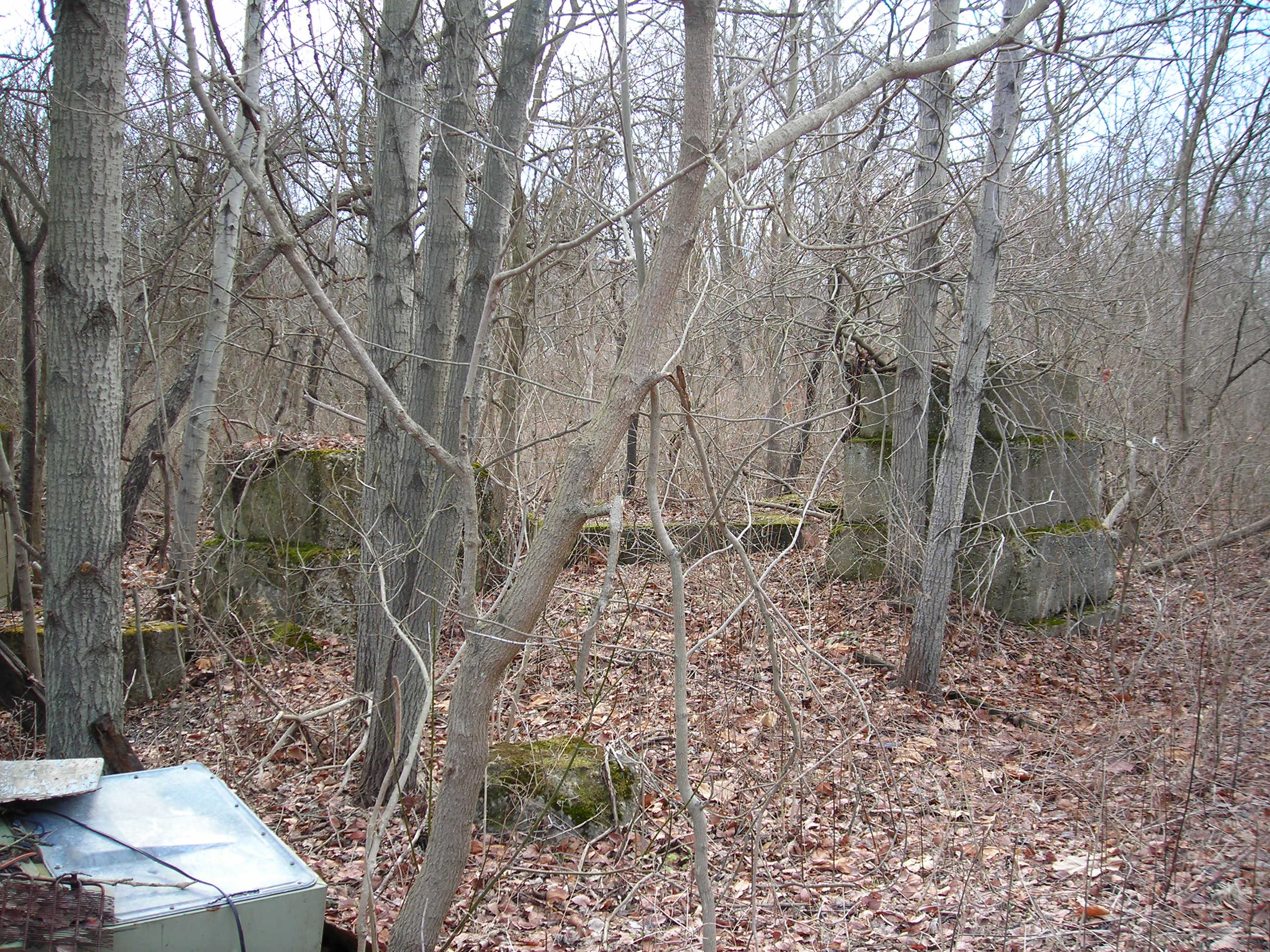
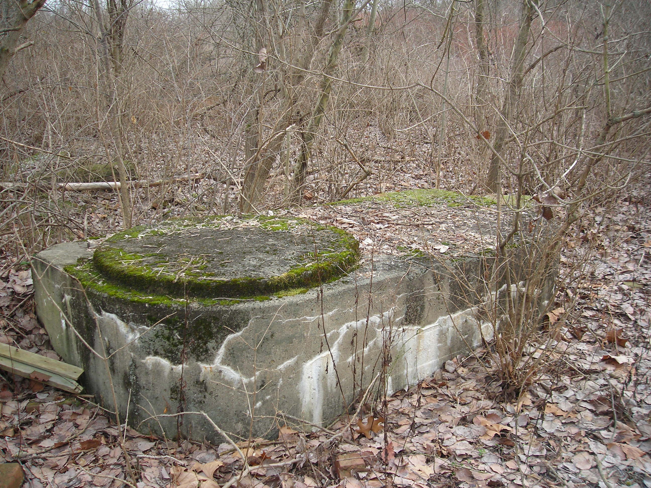
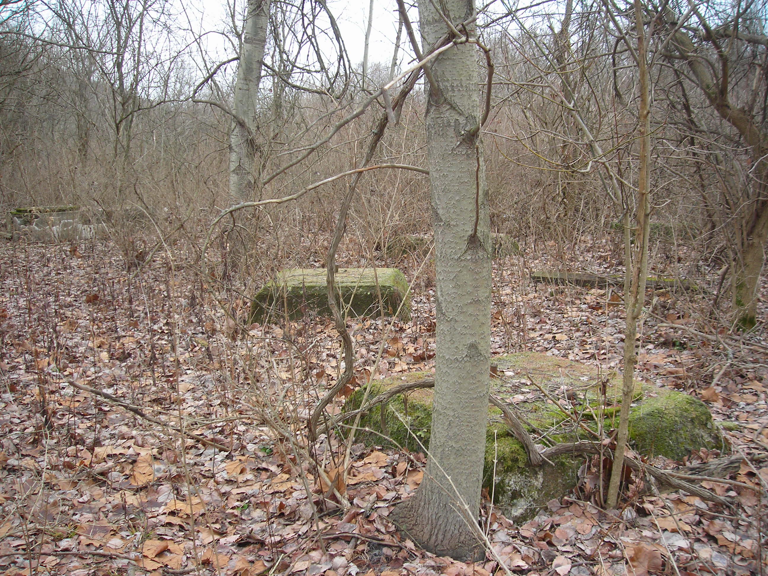 More concrete pads lie about, waiting for explanation as to what they
served.
More concrete pads lie about, waiting for explanation as to what they
served.
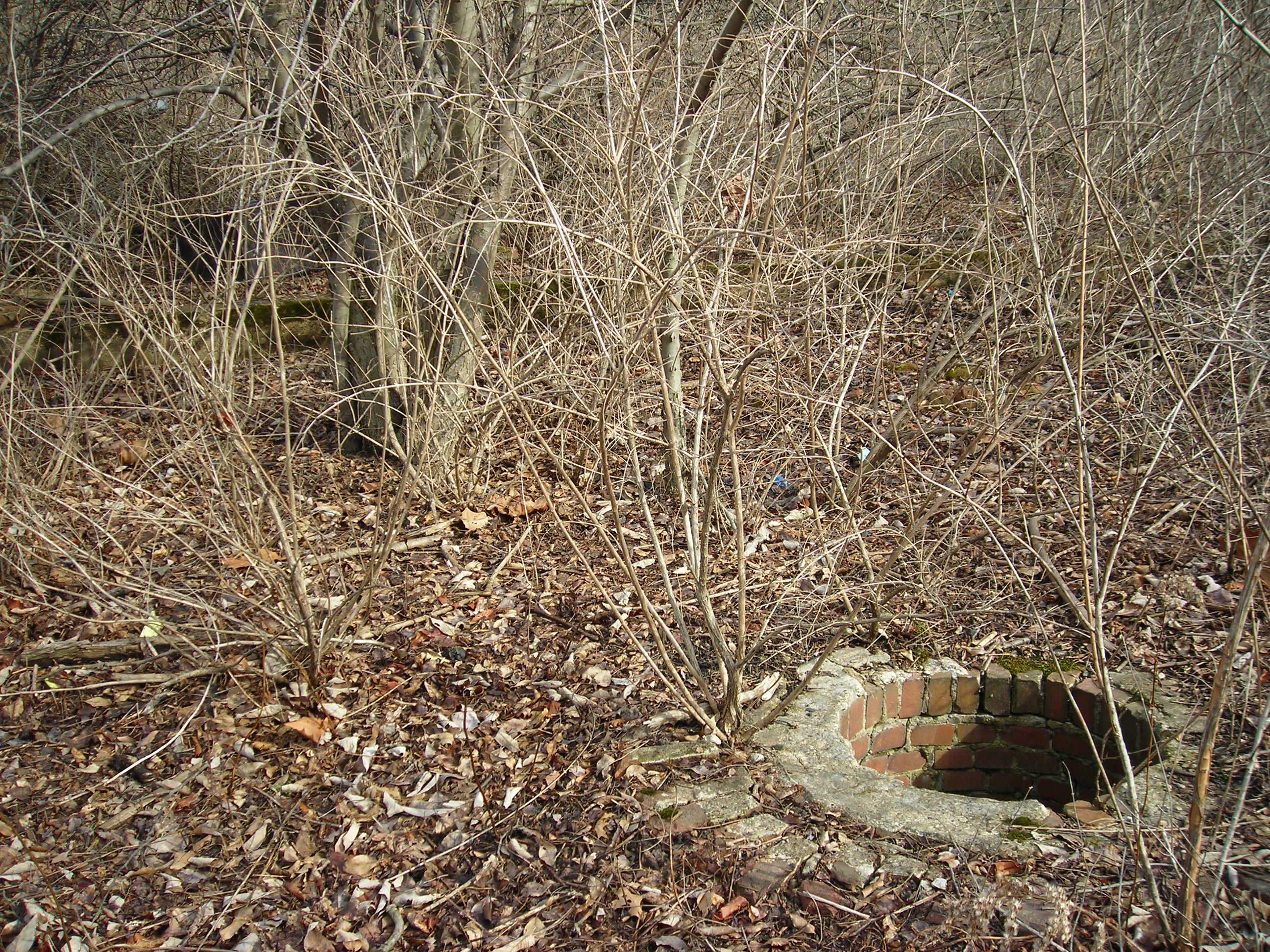
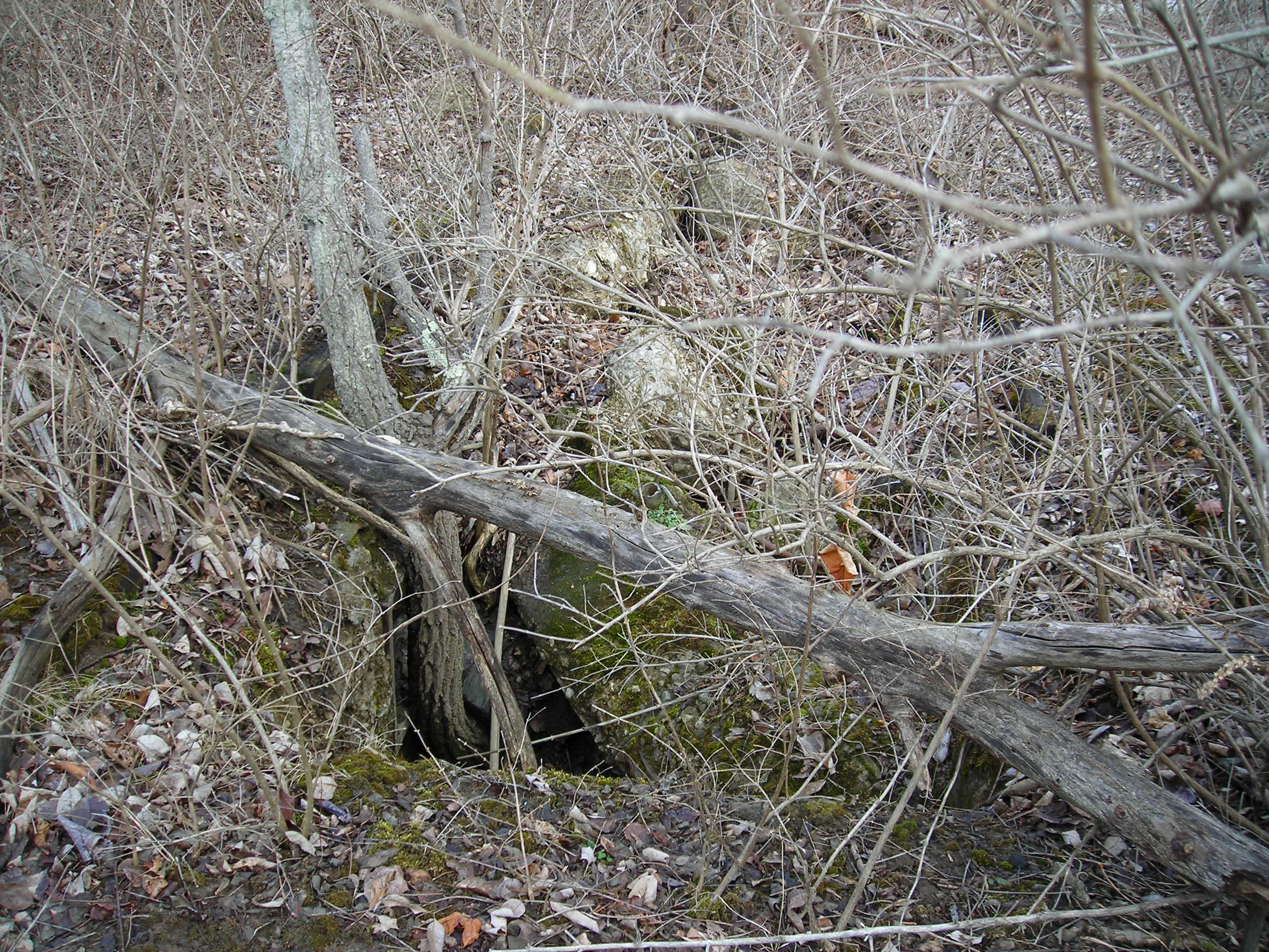
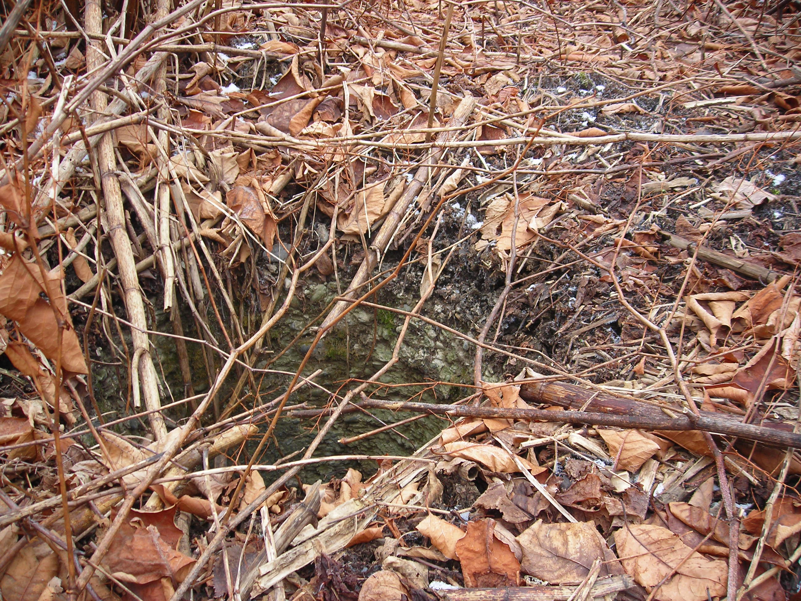
 I don't think this led into the underground system. I can't remember for
sure.
I don't think this led into the underground system. I can't remember for
sure.
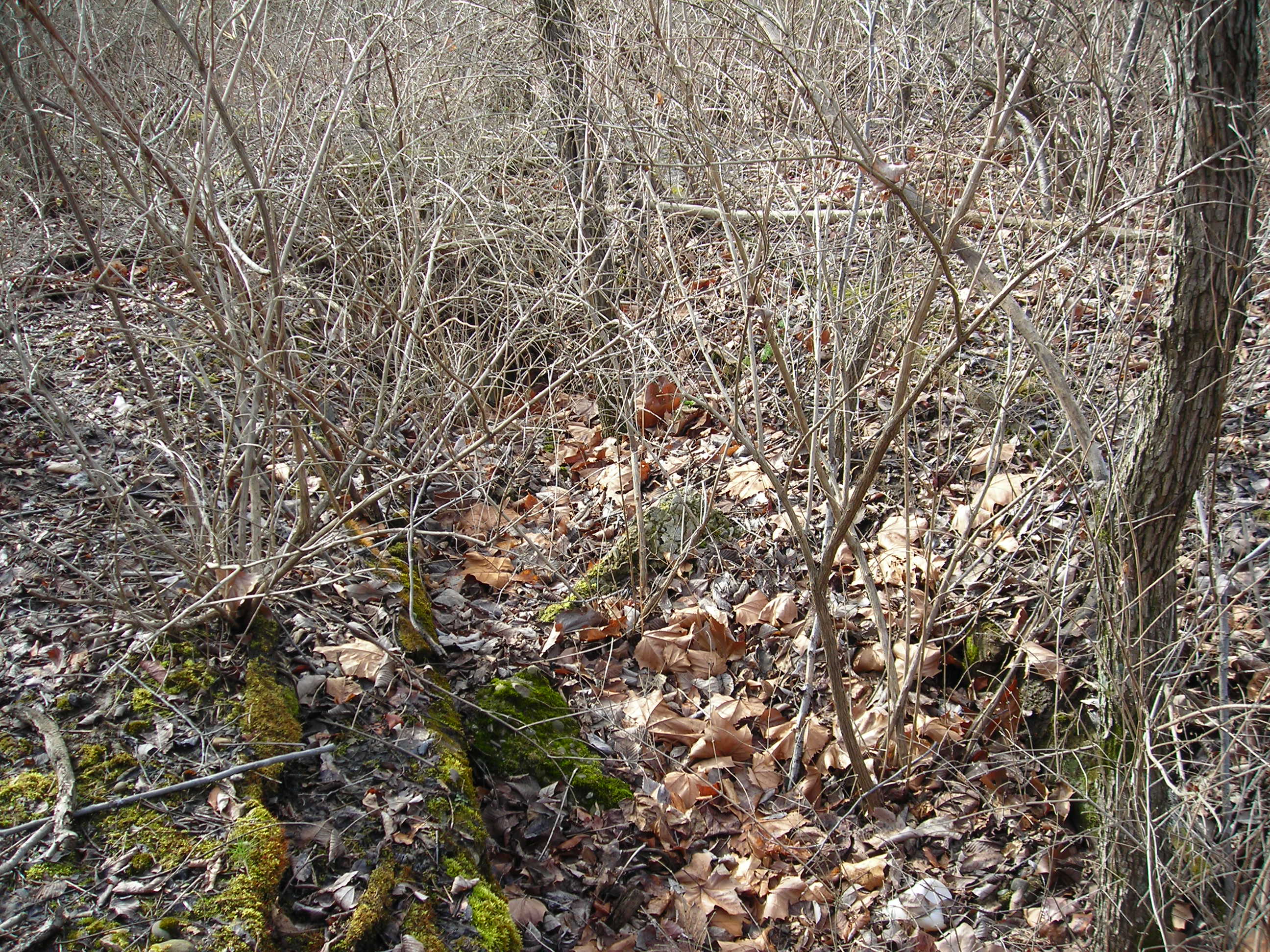
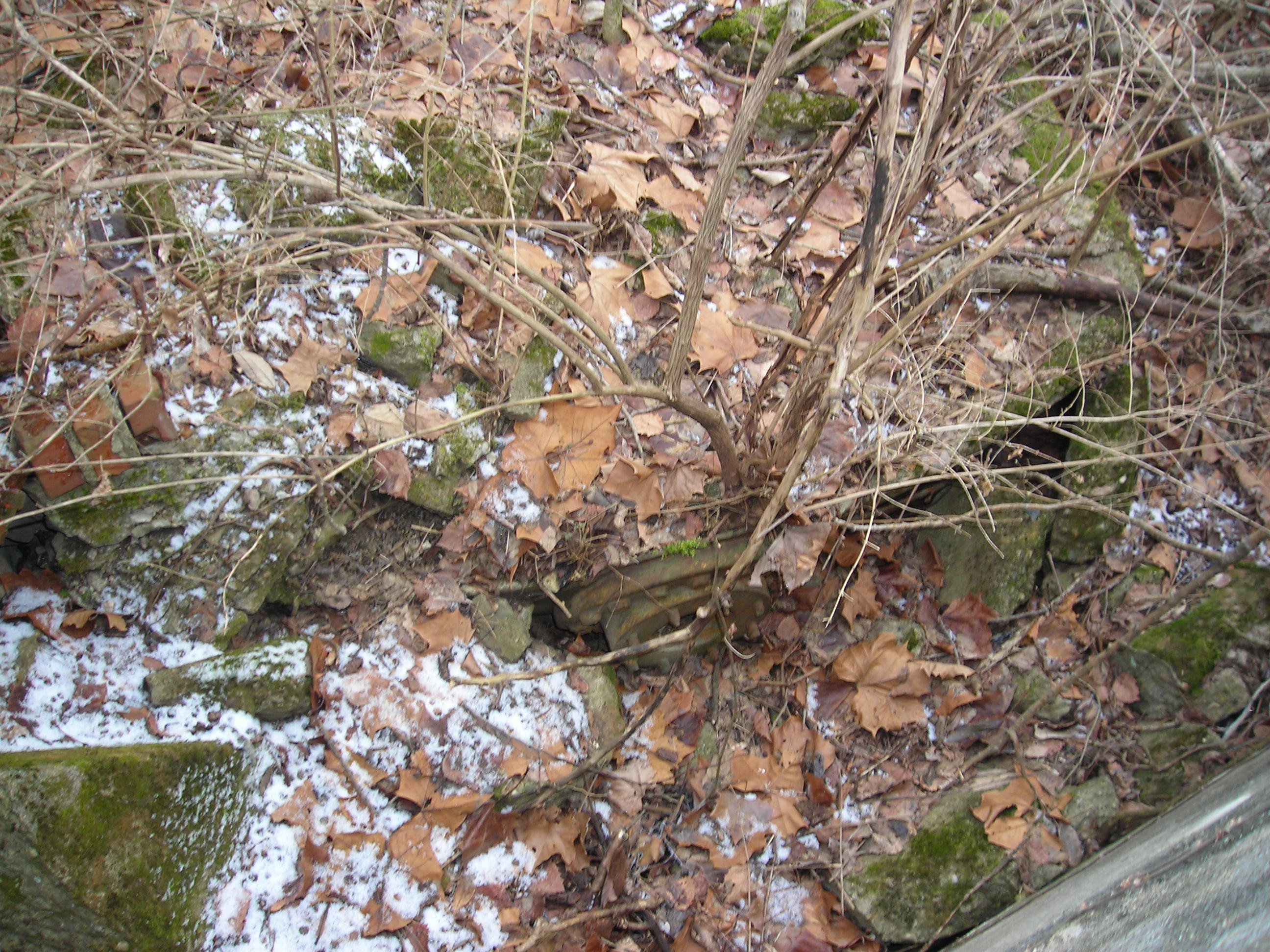
 Don't know, any guesses?
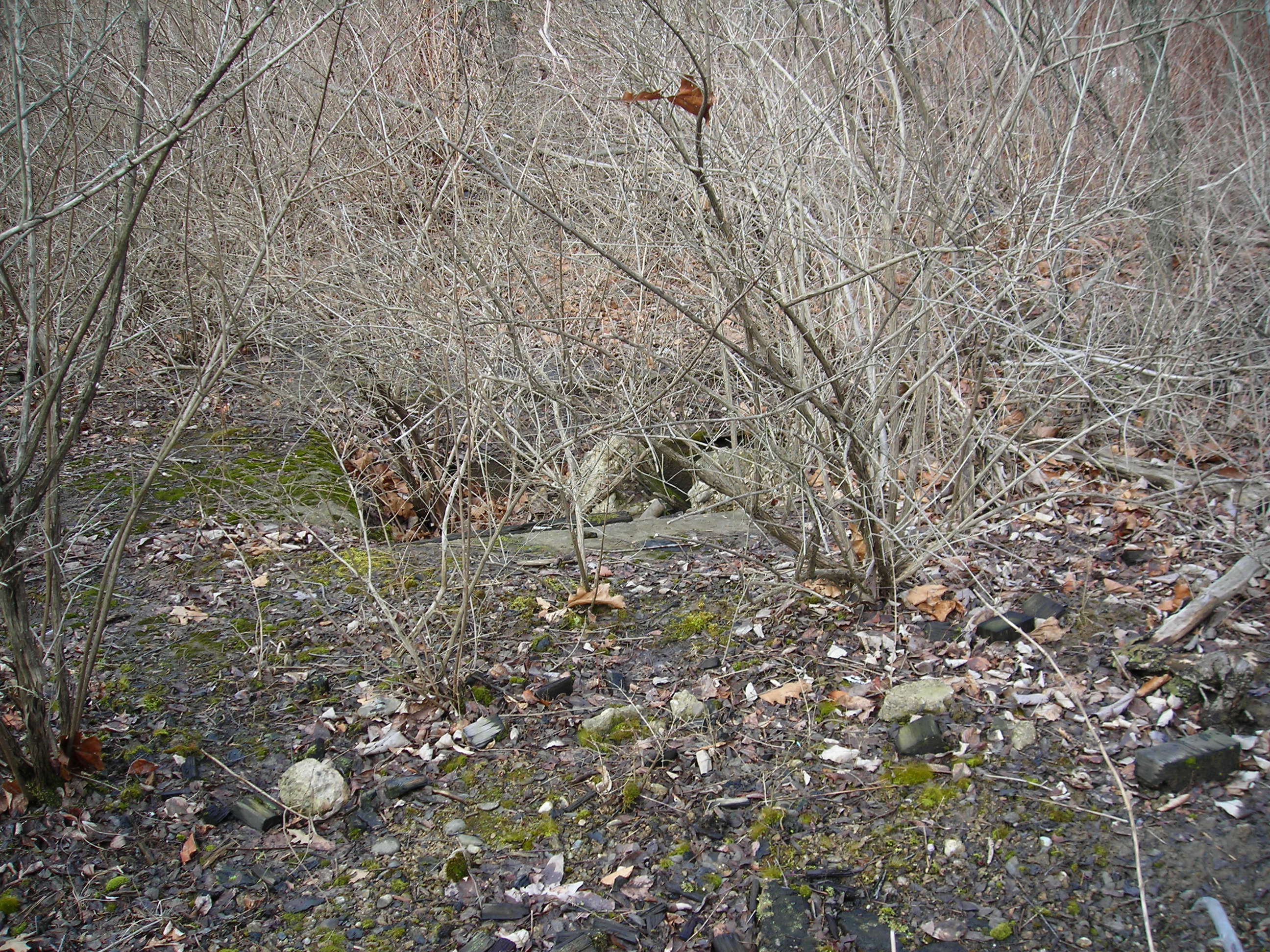
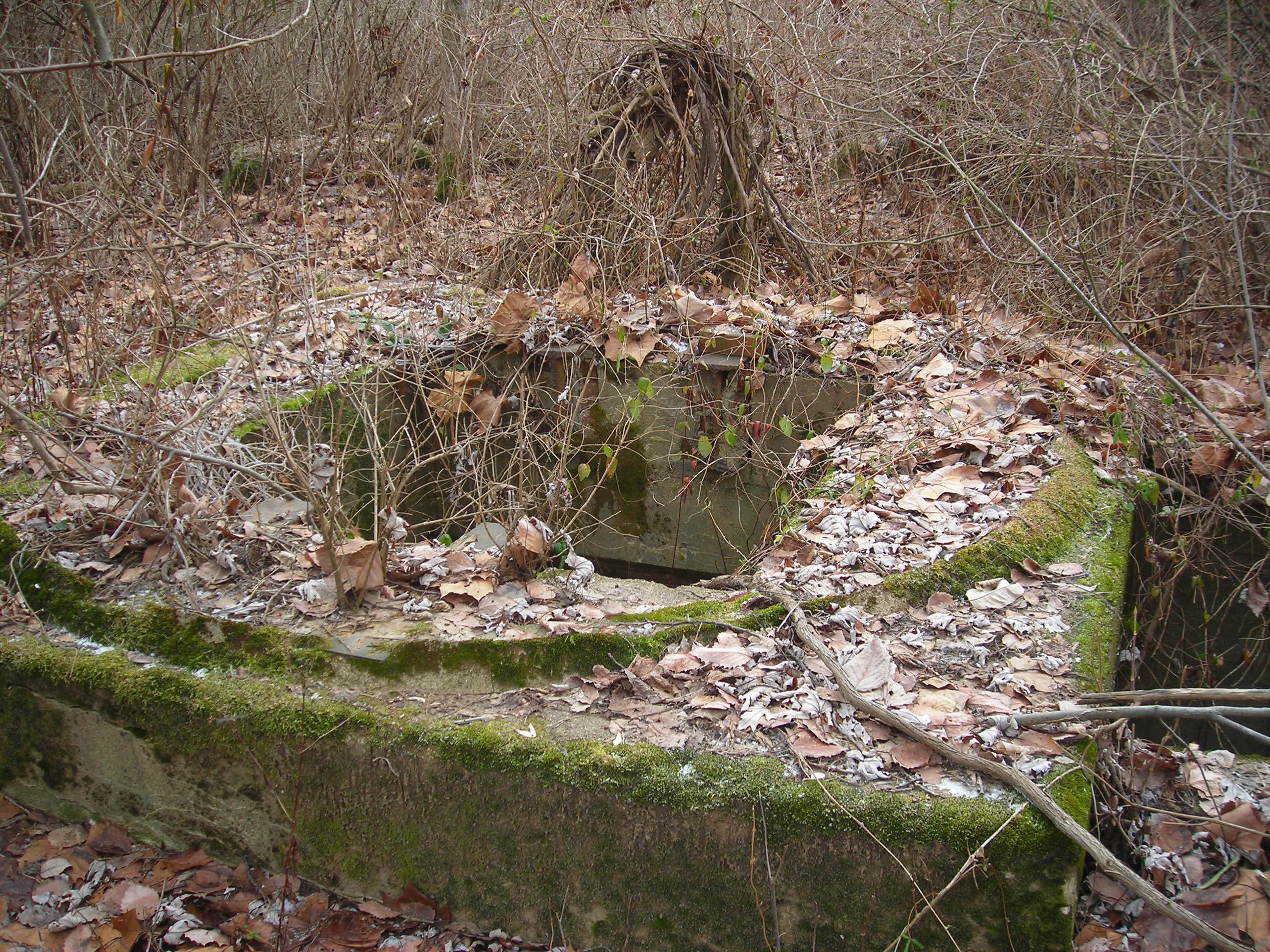
 Work Pit?
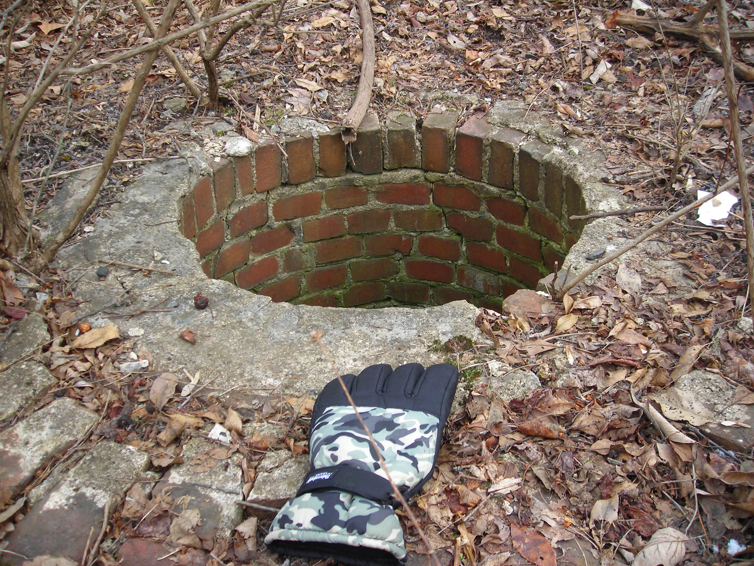
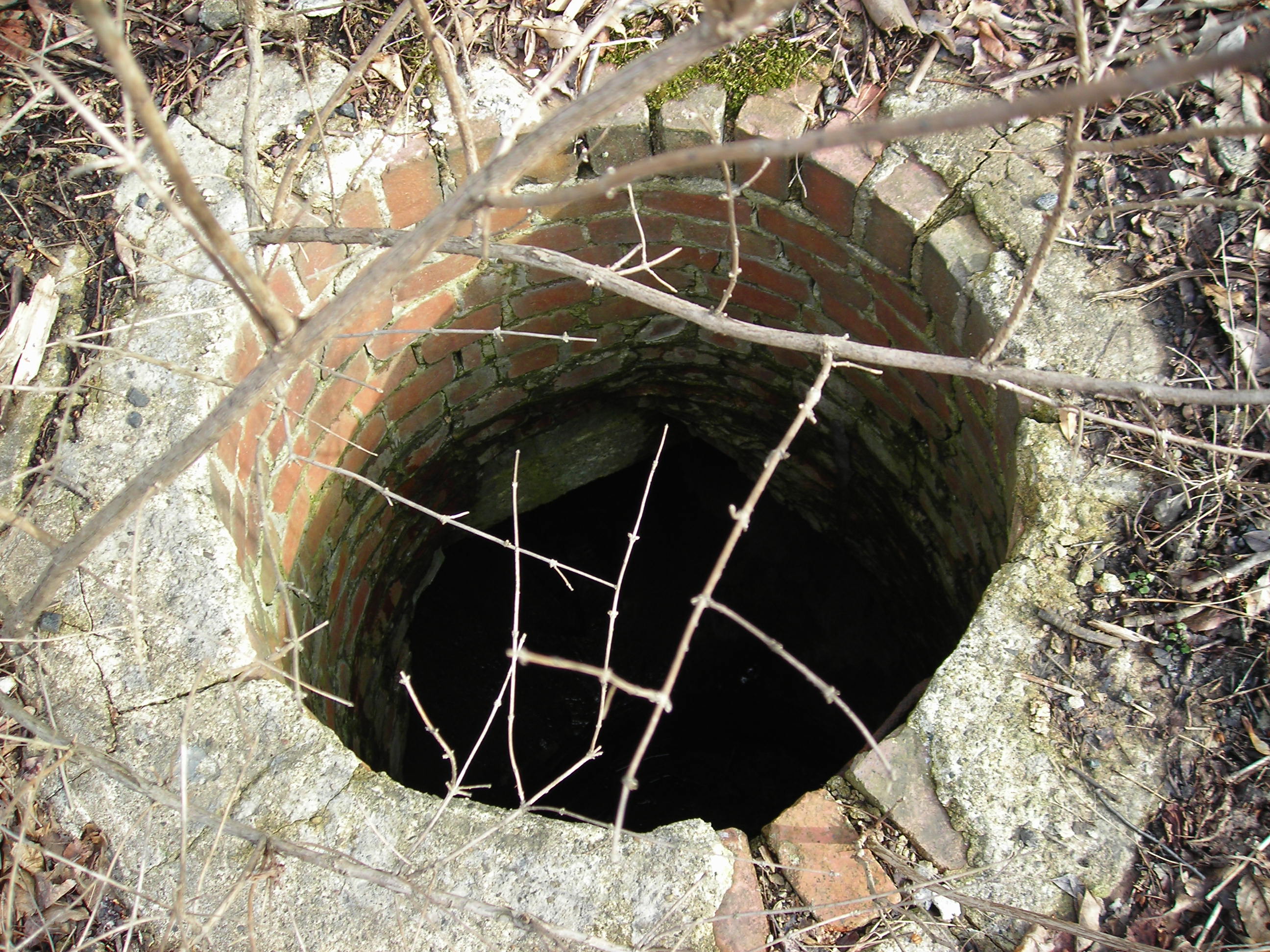
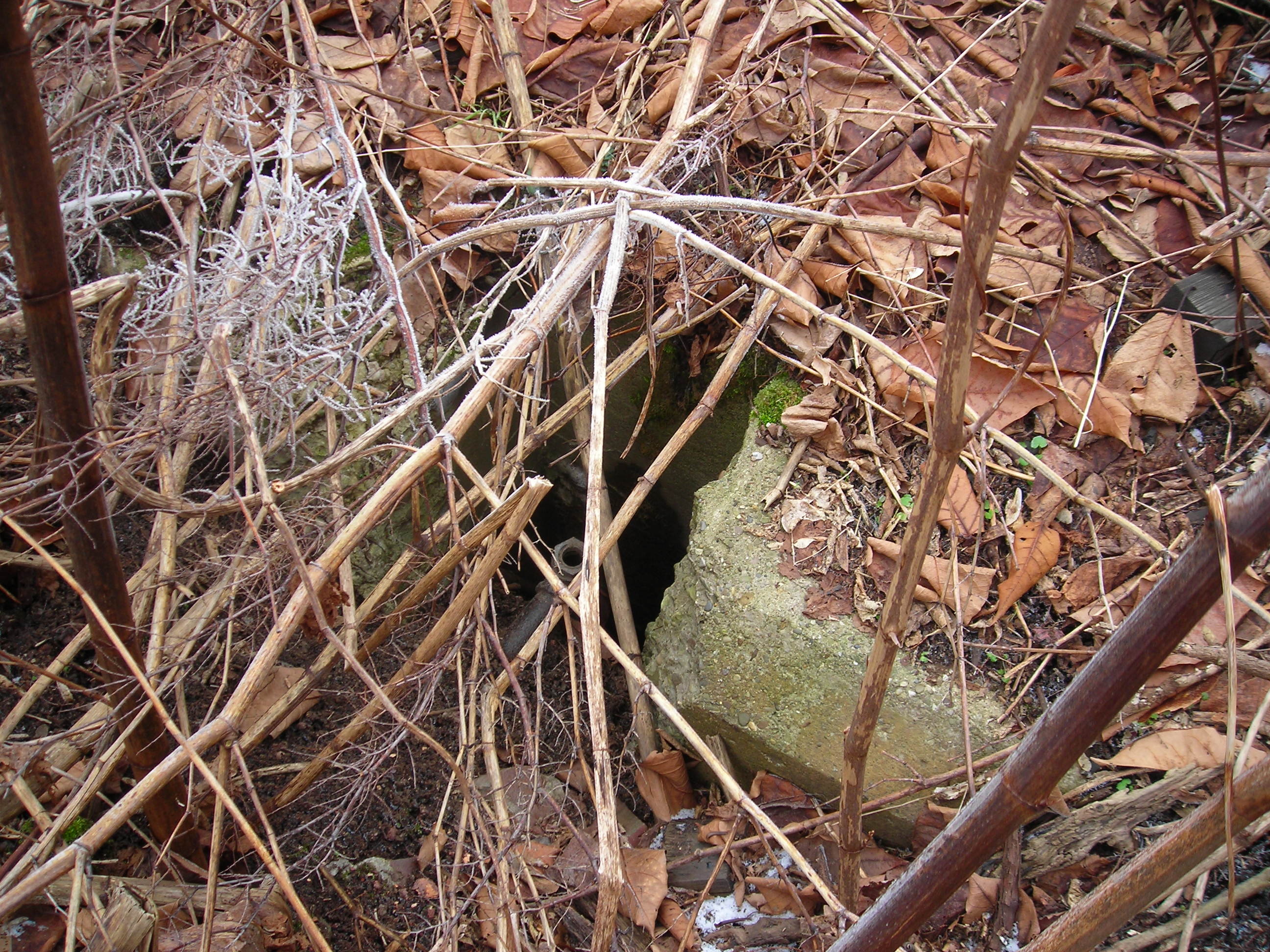
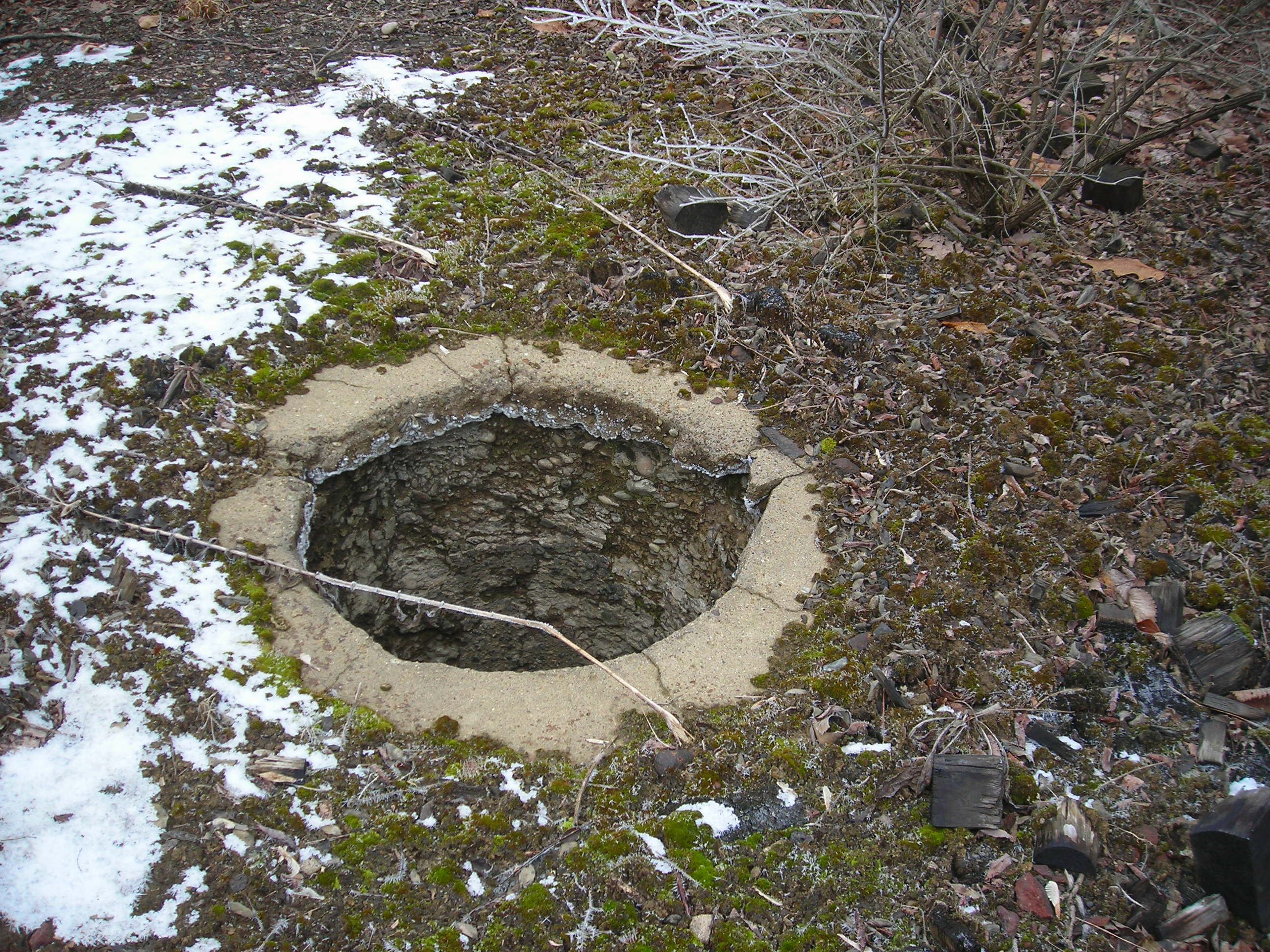
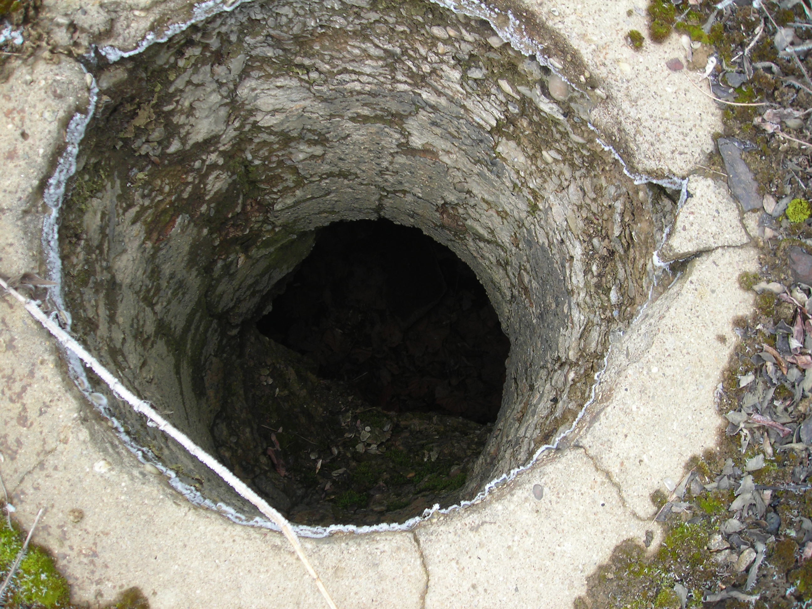
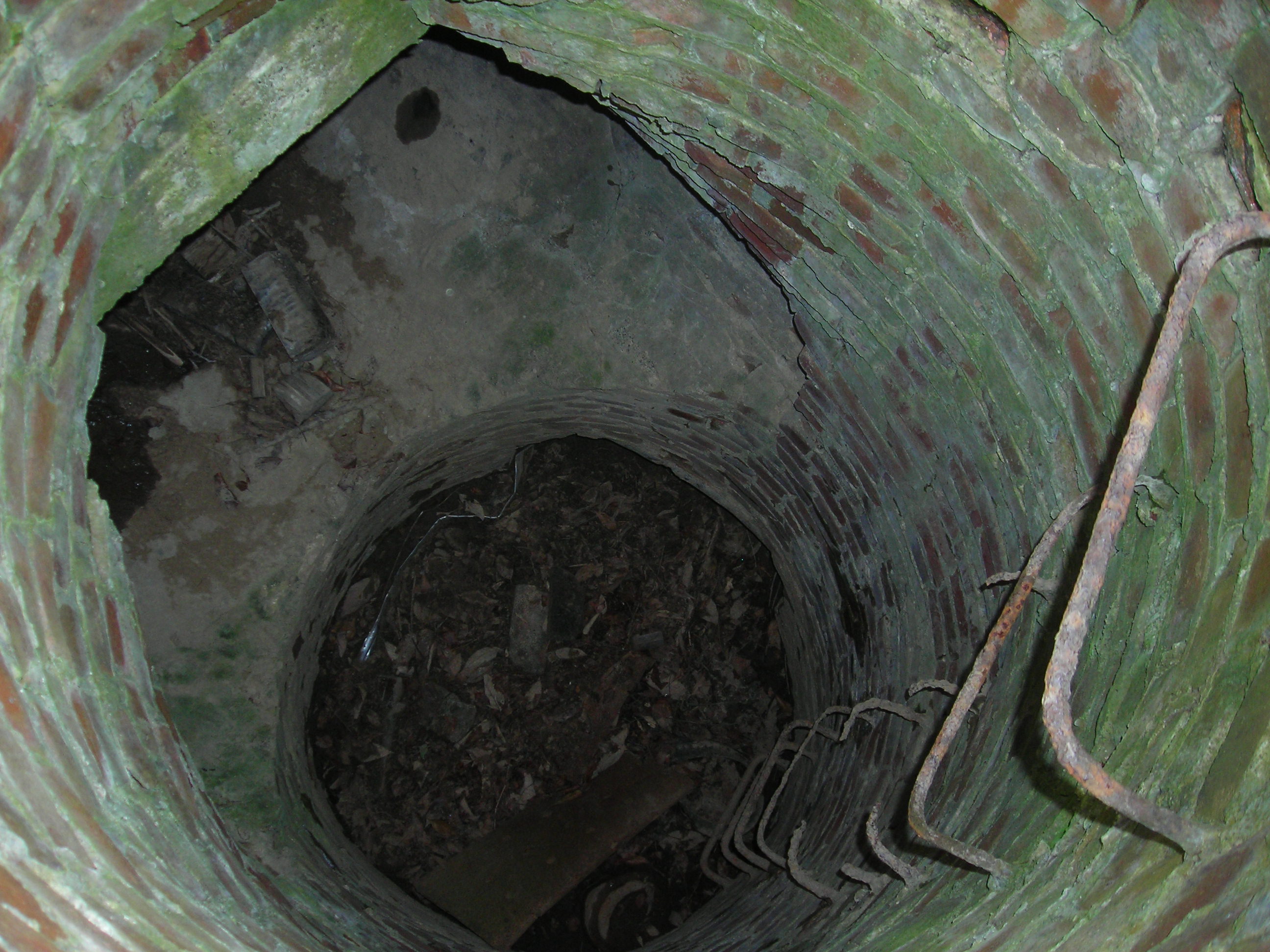 One
of the many wells located on the property, or are these man holes for access
to the underground? Notice that the grab irons are well rusted.
One
of the many wells located on the property, or are these man holes for access
to the underground? Notice that the grab irons are well rusted.
 Round house maintenance pits
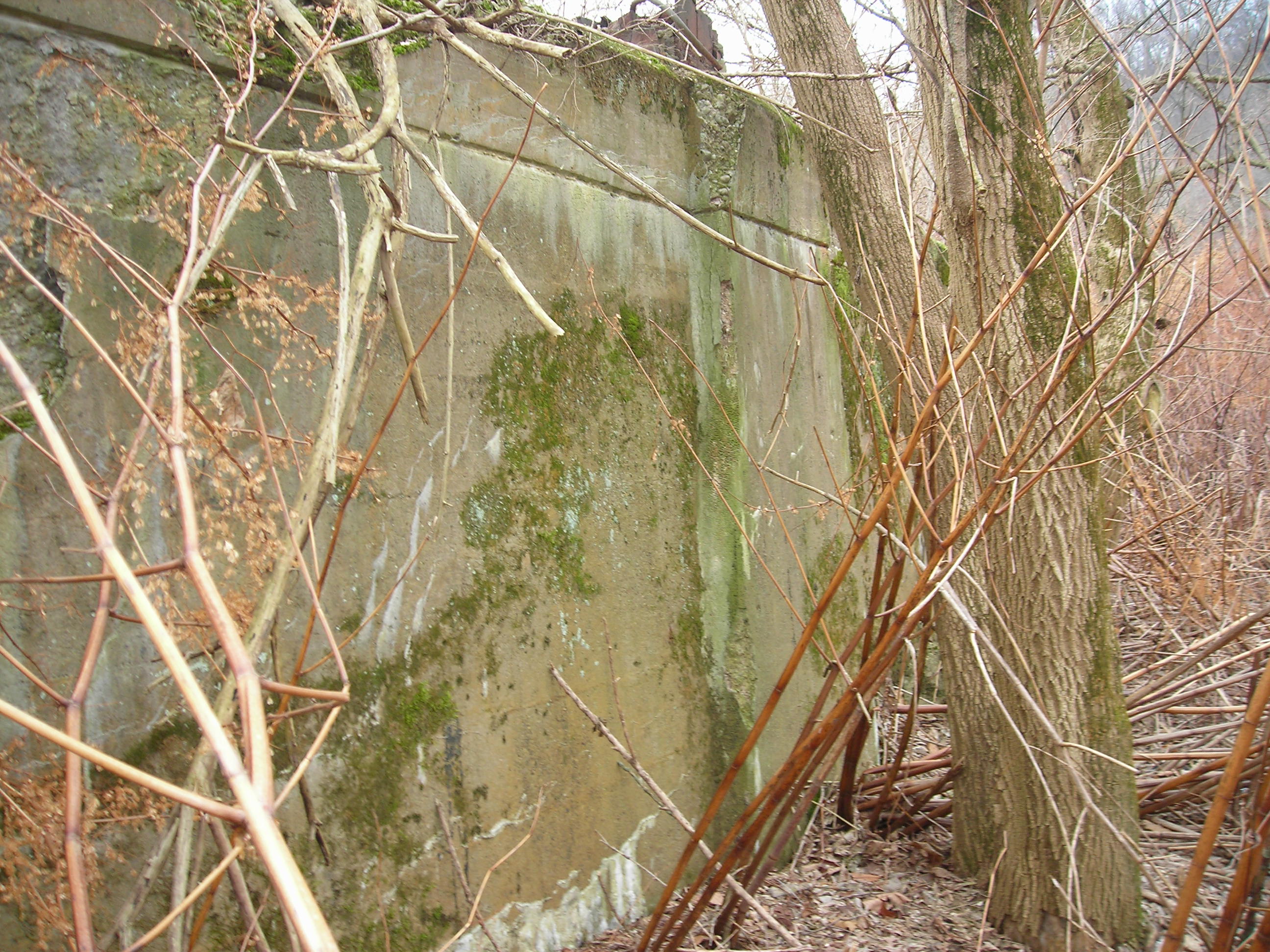
 Back
wall of the round house. I'm taking this picture from the creek bed.
Back
wall of the round house. I'm taking this picture from the creek bed.
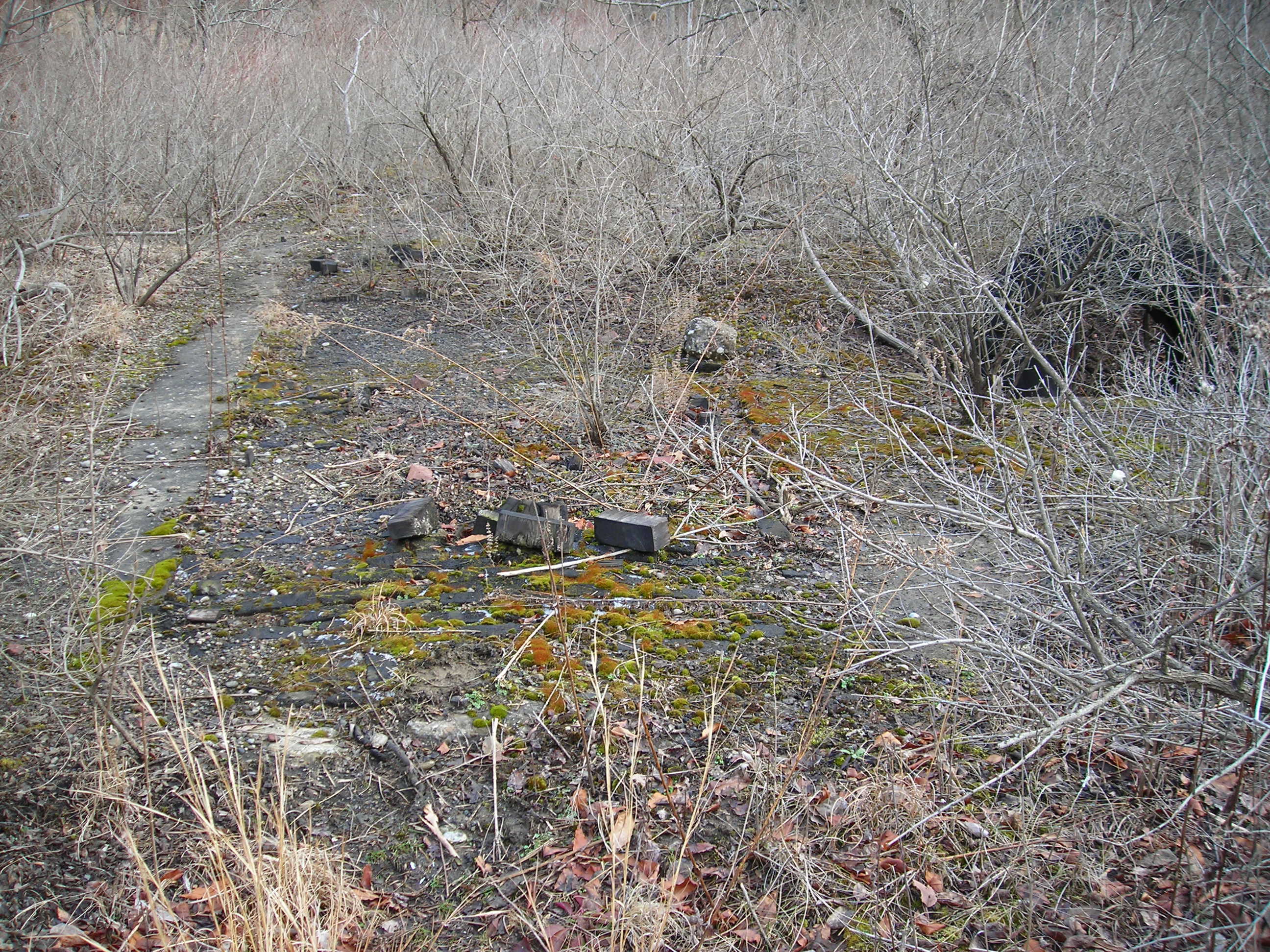
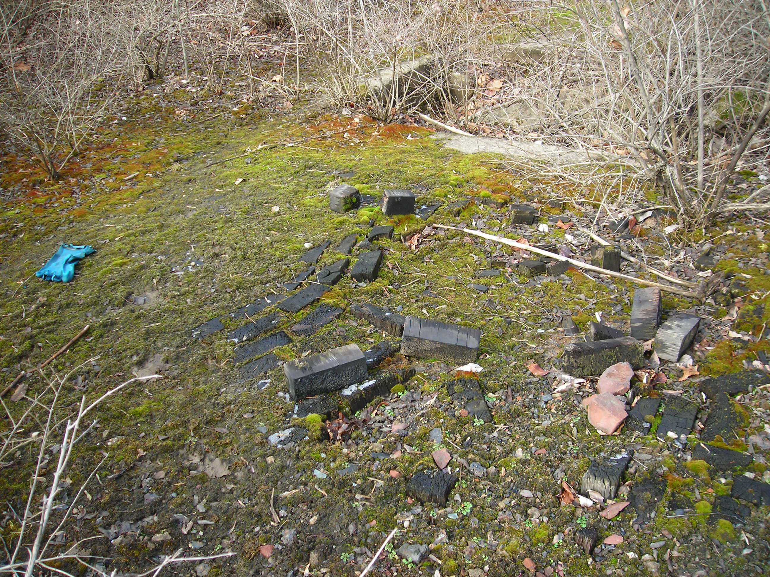
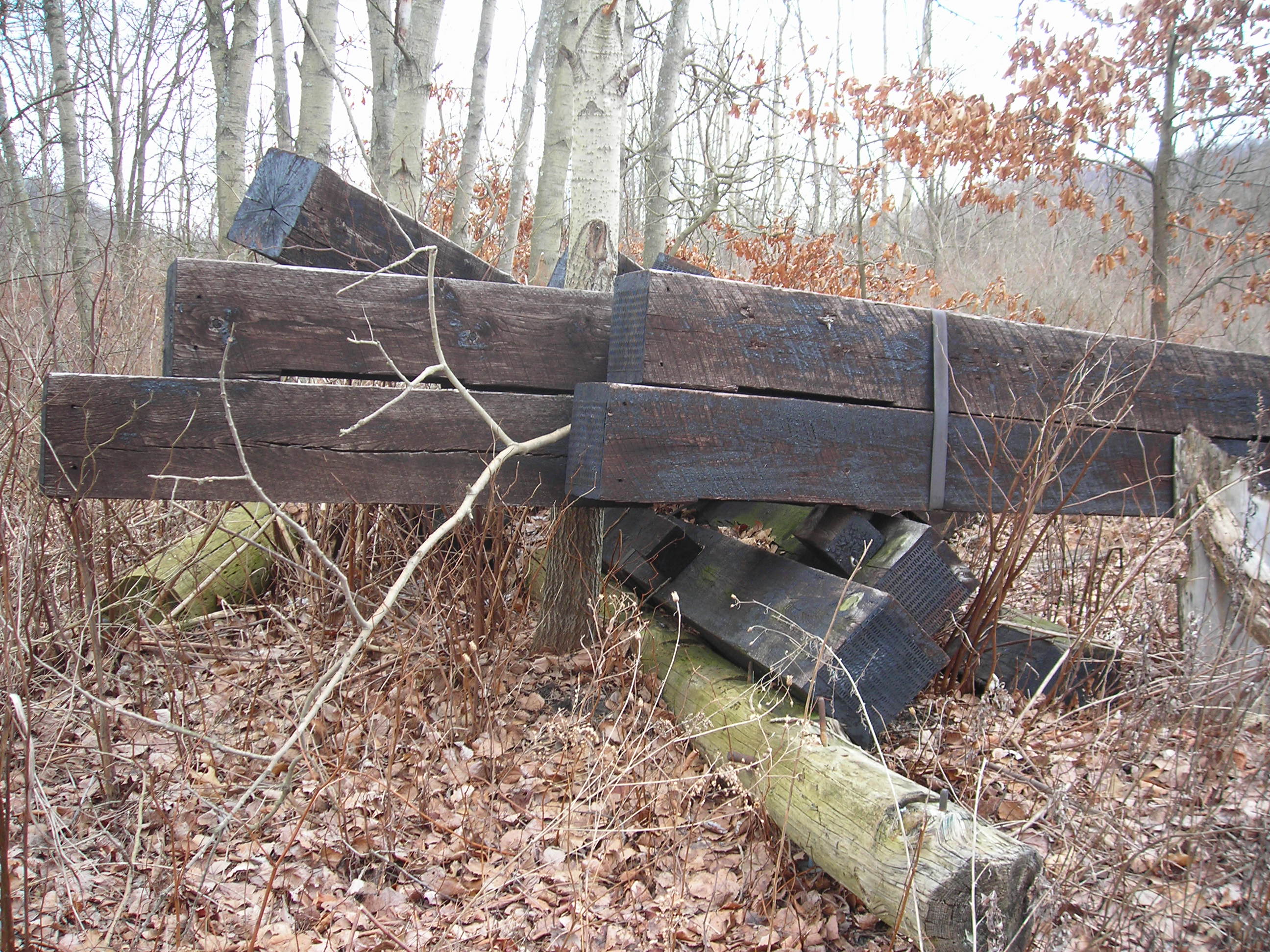
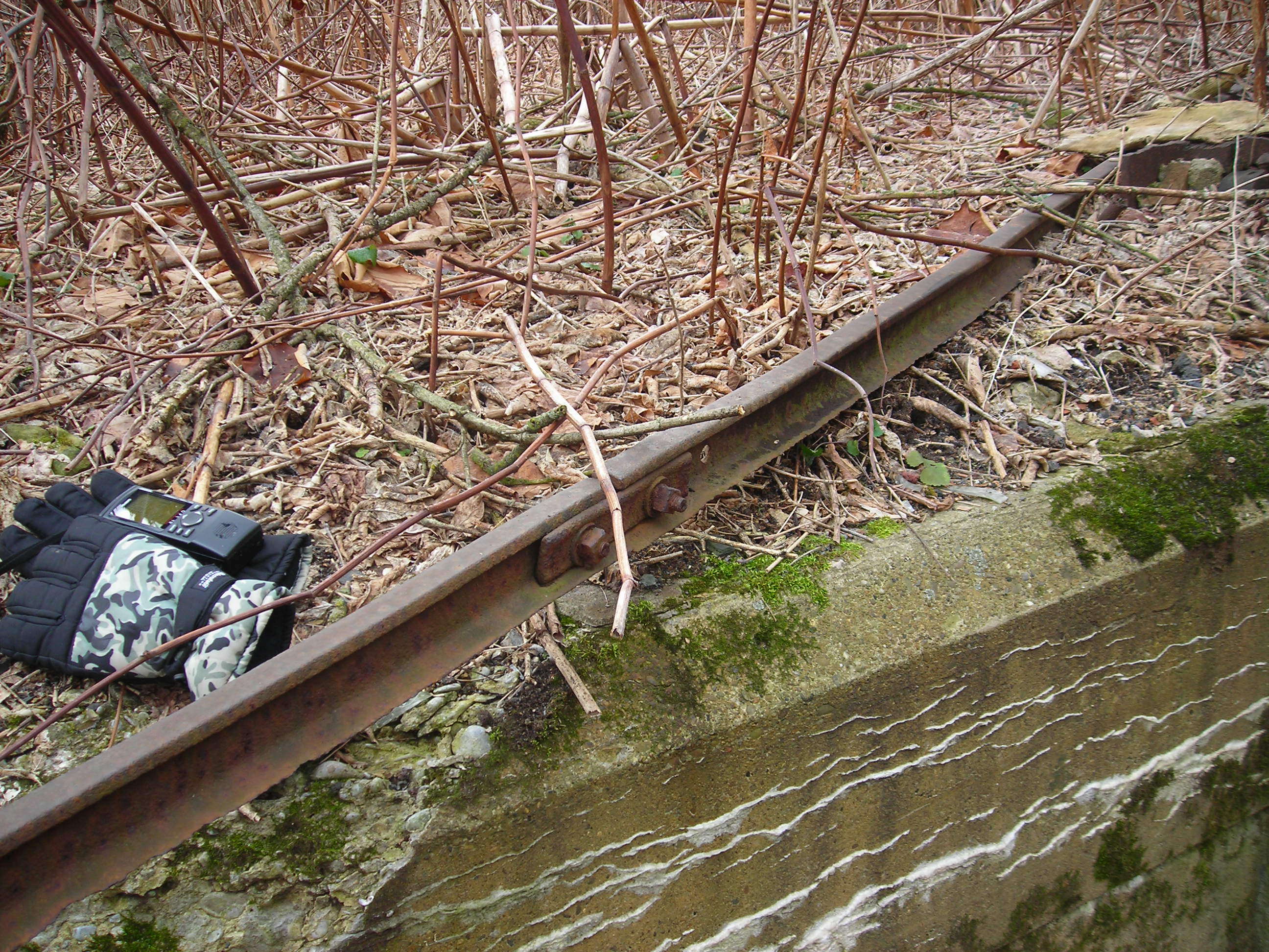 Found some old rail near where the machine shop was on the map. Too small
for railroad cars, maybe for some type of maintenance equipment.
Found some old rail near where the machine shop was on the map. Too small
for railroad cars, maybe for some type of maintenance equipment.
 Old water supply pipe.
 More well/manhole shots
 Another
manhole
Another
manhole
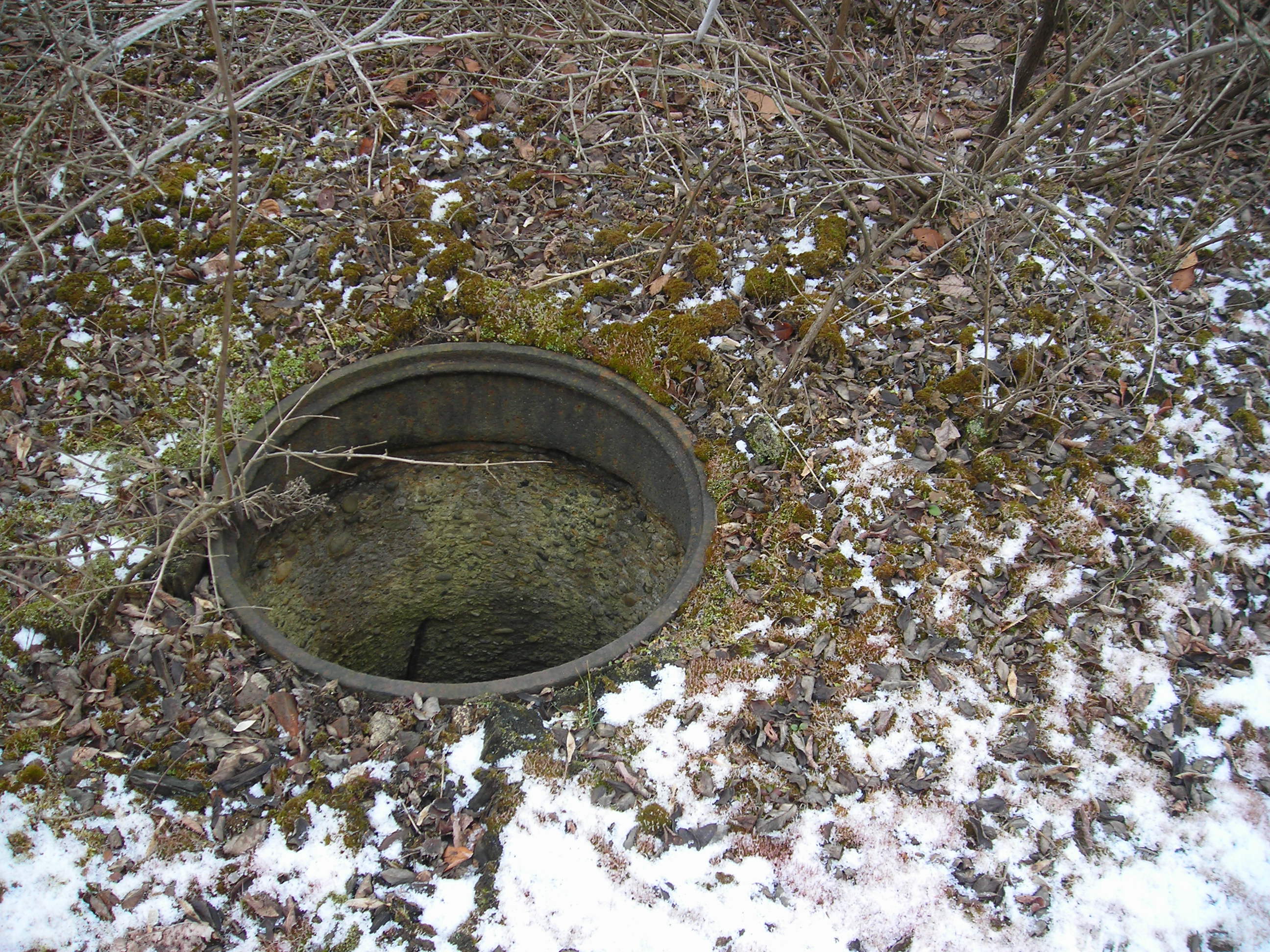 Another manhole with an iron rim.
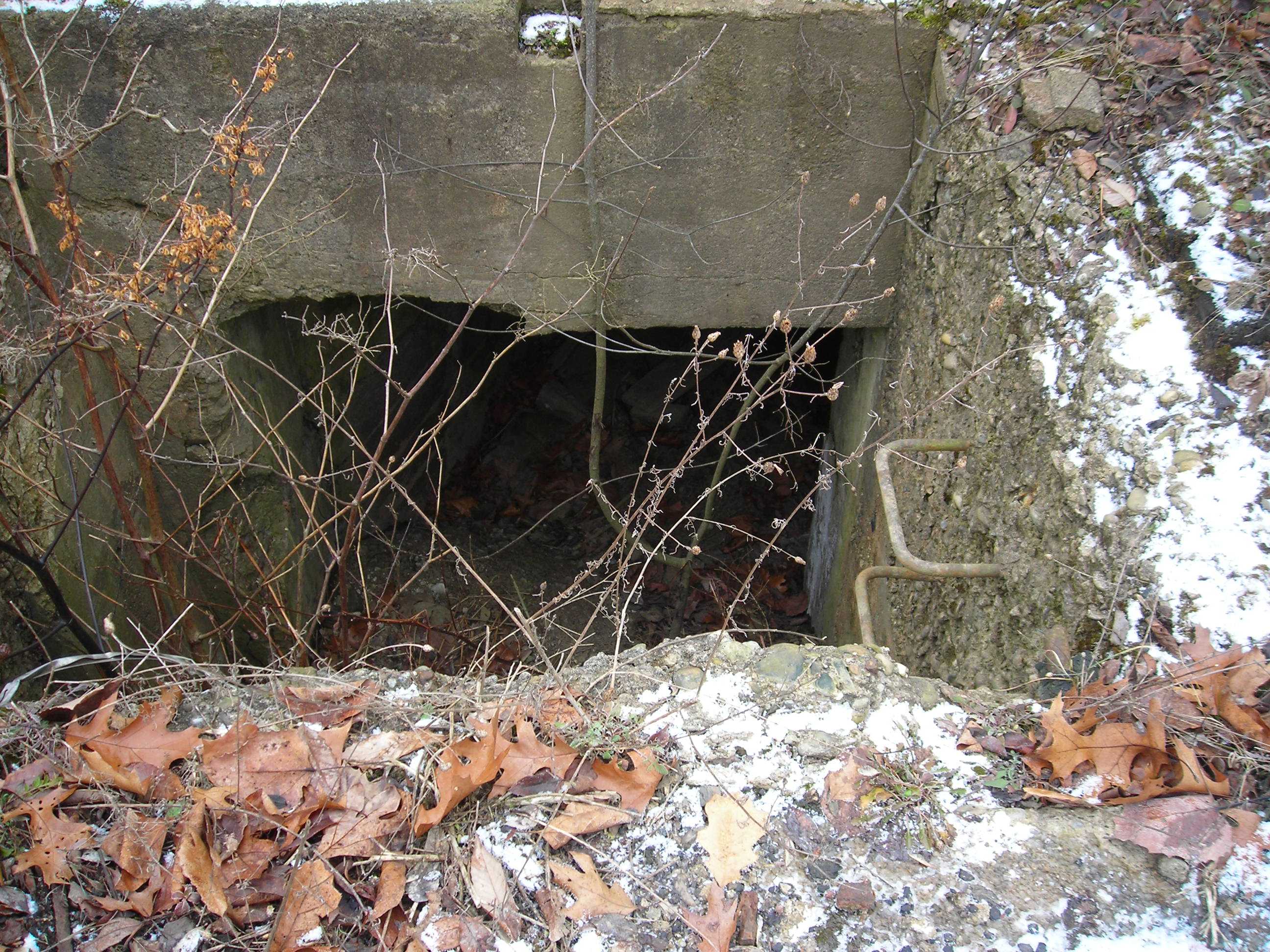
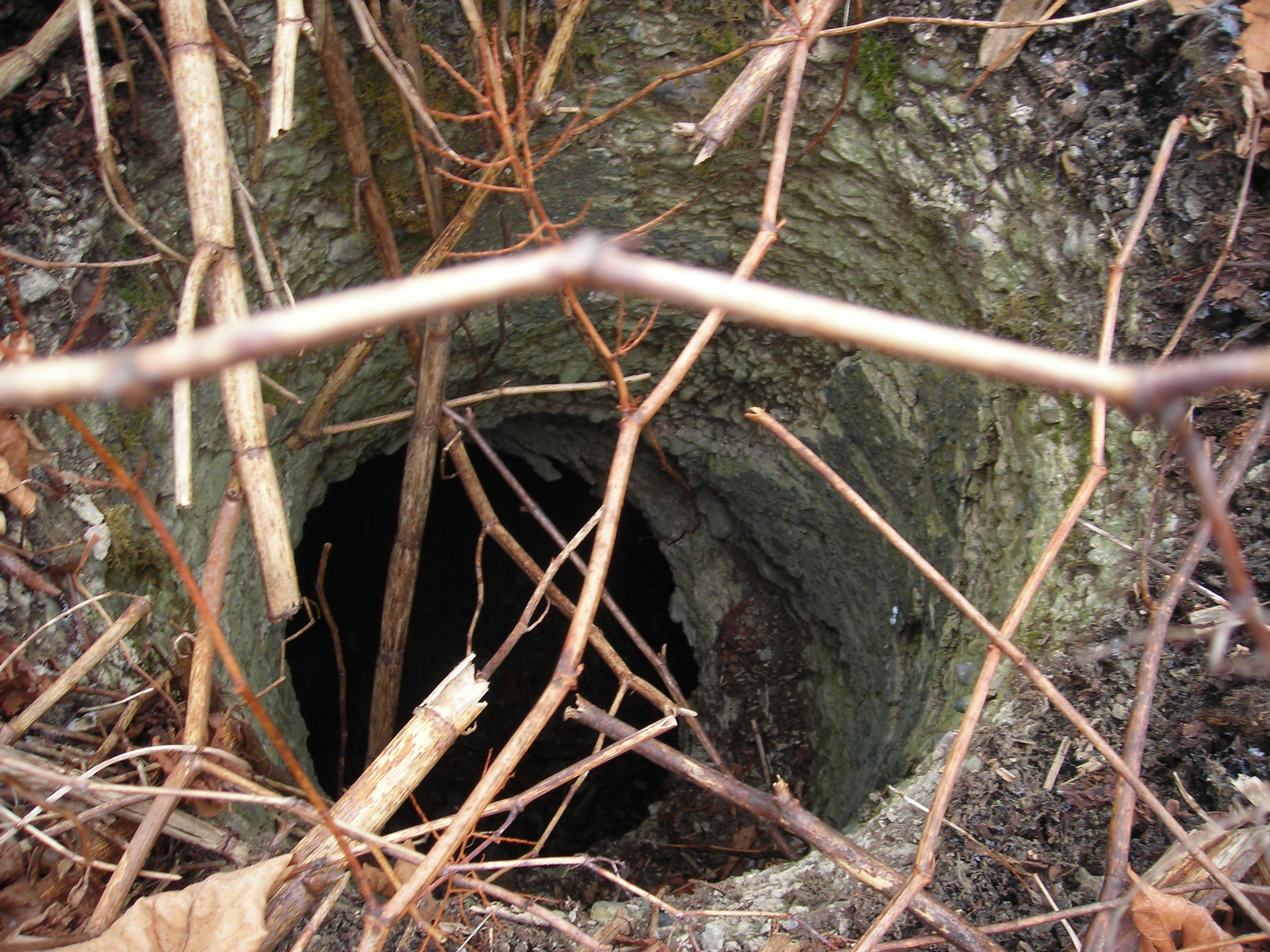
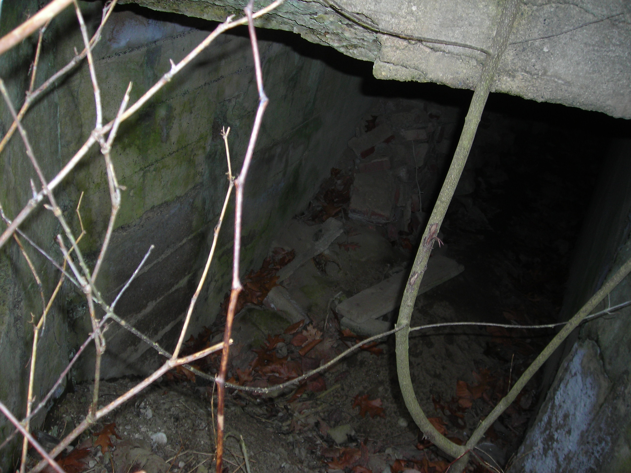 This
is the access point I found to get underground. I didn't venture in since I
was alone and was not sure I could get out if the hand rails broke.
This
is the access point I found to get underground. I didn't venture in since I
was alone and was not sure I could get out if the hand rails broke.