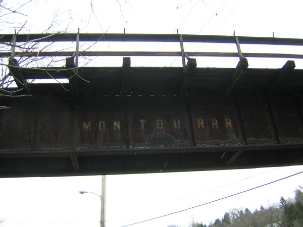
Montour Railroad
Mileposts
Bridges
and Tunnels
History
Maps
Roster
Mines
Links
Gallery
Working on the
Montour
Schaeffer
Stories
Sposato
Stories
Employees
Railroading
101

|
|
| Library
Branch |
|
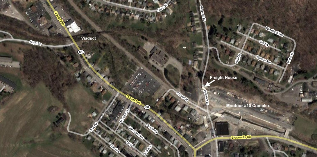
| The Library Branch
of the Montour Railroad served the Montour #10 mine as well as
establishing a connection with the Pennsylvania and B & O
Railroads. More pictures of the branch are located here. |
 |
 |
| Milepost
0 |
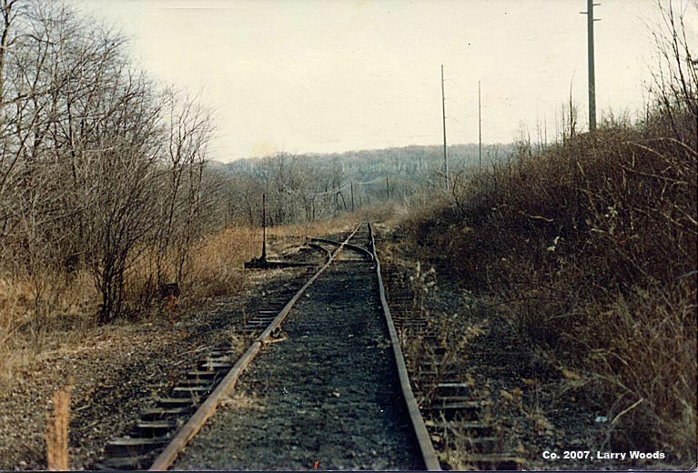
 A
view of the switch directing trains to the Library Branch. A
view of the switch directing trains to the Library Branch.
I first
became interested in the Montour in late 1982. A little before
Christmas that year, the tunnels that the Montour crossed on the
Northern part of the Bethel Park spur were daylighted (AKA: removed).
These would be the three tunnels that carried Baptist Road, Route 88,
and Brightwood Road under the Montour. In addition the bridge that
carried Broughton Road over the Montour had been removed and filled in.
(Horning Road crossed the Montour at grade level.) Before that I did
not know that much of the Montour had been abandoned.
Sources
at that time indicated a portion of the Montour near Coraopolis was
still in use. I naively thought that the line in Peters Township was
still in use. So on a March 1983 weekend, I parked in Bethel Park, hopped onto the
abandon tracks, and set out on my mission to find Library Junction. I
was almost like the boys in the movie "Stand by Me" except I was
following an abandon rail line and my mission was not to find a dead
body but a live Railroad line.
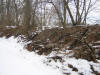
At that time
only the tracks between Salida and the trestle over West Library Avenue
had been removed; the tracks southwest of the Bethel Municipal building
were intact but noticeably abandon. Needless to say, when I reached
Library Junction I found the main line to
the west to be as dead as the Bethel Spur, and the Library Line even
more so.
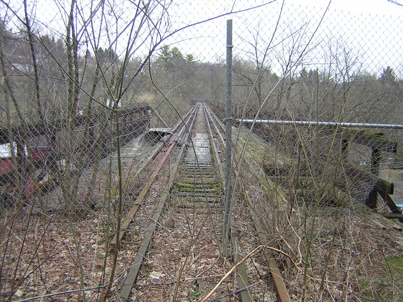
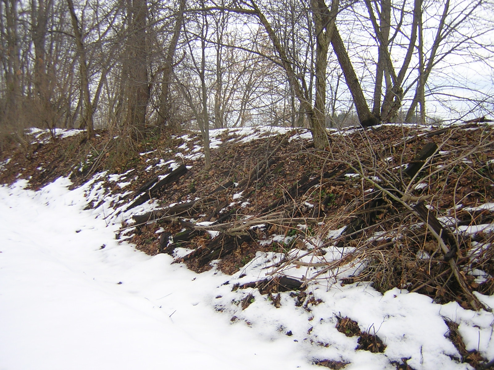
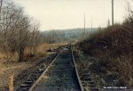
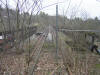
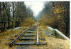
Notice in this picture that the old switch is positioned
to direct a train from Bethel towards Coraopolis and not Library. Also,
the spur to Library on the left side is even more vegetated than the
track to Coraopolis that goes straight. This suggests the Library line
was out of use longer at least in this location.
picture and
text © 2007, Larry
Woods, used with permission
 For 24 years after the snapping of
these pictures, I was unable to pinpoint the precise location of this
picture. In 2007 I was finally able to determine the spot -- thanks a
bit to my memories, but thanks so much more to being able to compare
the picture to aerial images provided by that 21st century gem: the
internet. For 24 years after the snapping of
these pictures, I was unable to pinpoint the precise location of this
picture. In 2007 I was finally able to determine the spot -- thanks a
bit to my memories, but thanks so much more to being able to compare
the picture to aerial images provided by that 21st century gem: the
internet.
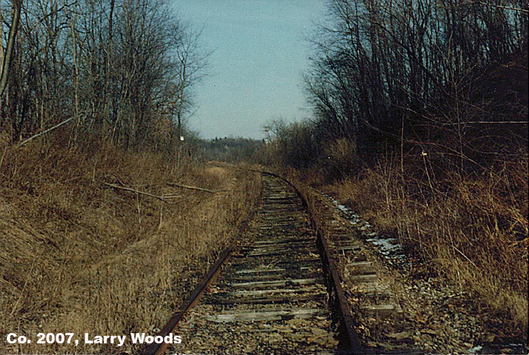
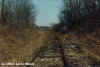
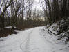
This shot is facing North on the Bethel spur from just above the
Library Junction. The North switching point of the Junction would be
just behind me in this picture. Ahead and to the left, just around the
curve in the picture, would be the old bridge that carried Brush Run
Road over the Montour. That overpass was removed in 1984 or 85, and the
old RR right of way was filled in there.
The condition
of the track is noticeably poor: the rails are rusted and the ties are
rotting. Yet this Bethel spur is in better condition than the Library
spur in the other pictures.
Today I wish I had taken a shot of the main track heading west from the
Junction towards Coraopolis. For whatever reason I didn't do it then.
Yet I remember this main track being in a state of condition comparable
to the Bethel spur and definitely better than the condition of the
Library spur. Text and Picture Co. 2007, Larry Woods; used
with permission
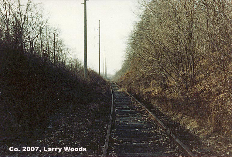
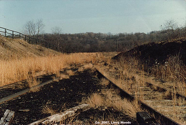
 This is the Fifth and final picture
I took that weekend in March '83. Only recently, thanks to the use of
aerial images from Mapquest.com
and Google Earth (map),
did I pinpoint the precise location where I took it at: I was just
about directly underneath of, though a bit to the north of, the old
Brush Run Rd overpass, which was removed around 1985. This is the Fifth and final picture
I took that weekend in March '83. Only recently, thanks to the use of
aerial images from Mapquest.com
and Google Earth (map),
did I pinpoint the precise location where I took it at: I was just
about directly underneath of, though a bit to the north of, the old
Brush Run Rd overpass, which was removed around 1985.
For one thing, the immediate area in the picture has a darker, shadowy
look, while in the distance it is sunnier. Also, there is the
descending embankment on the left side of the track. Another key
indicator is the straight stretch of track for the foreseeable distance
in the picture.
After departing Library Junction, Montour trains bound for Bethel Park
swung around a curve to the left, seen in my previous picture, then
ducked under Brush Run Road. After passing under that old overpass, the
tracks straightened and followed a straight line for more than a third
of a mile, running at a Northwest angle directly parallel to the County
line, which is a bit under 600 feet to the northeast of the right of
way. After paralleling the County line for about 2,100 feet, the trains
bound for Bethel then began a sweeping curve to the right, which took
them across the line into Allegheny County.
Today this
location is much different. Since the Brush Run Rd
overpass was removed, and the old Rail Road right of way filled in
there, the Montour trail crosses Brush Run Rd at an elevation several
feet higher than the Rail Road did. And the grade on both sides of the
road has been filled in so trail users do not have to climb too steep
of a slope.
At the time I took these pix, the Montour's infrastructure -- the
tracks, bridges, and tunnels -- was still intact as far north
as the old trestle over West Library Road and the Trolley Tracks. From
there to Salida, the infrastructure had already been removed.
The tunnels over Brightwood Rd, Rte 88, and Baptist Rd near the Salida
Junction, had been removed in early December 1982. The tracks there may
have been removed at the same time or they may have been removed
earlier.
The tracks from the West Library trestle to Library Junction were
removed in 1984. Yet much of the other infrastructure, such as the
tunnel over Logan Road, was intact in 1985. Picture and text
Co. 2007, Larry Woods; used with permission
|
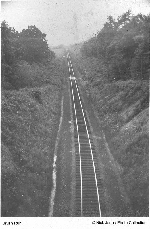
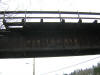
 Looking East Brush Run Road Bridge East of Library Junction July 1948. Looking East Brush Run Road Bridge East of Library Junction July 1948.
Photograph
courtesy of Nick Jarina. If you look closely, about half way up the
tangent On the left, the Yard Limit Board for Library Junction. And no
power lines. - Gene P. Schaeffer
|
|
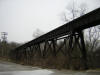
 Here
is the same location as the above picture, but from the reverse
direction. The Library spur is on the right, the main line to the left,
and the Bethel spur straight ahead. Just as in Picture One, the Library
spur is more rusted and more vegetated than the Bethel and main
line. picture
and text © 2007, Larry
Woods, used with permission Here
is the same location as the above picture, but from the reverse
direction. The Library spur is on the right, the main line to the left,
and the Bethel spur straight ahead. Just as in Picture One, the Library
spur is more rusted and more vegetated than the Bethel and main
line. picture
and text © 2007, Larry
Woods, used with permission |
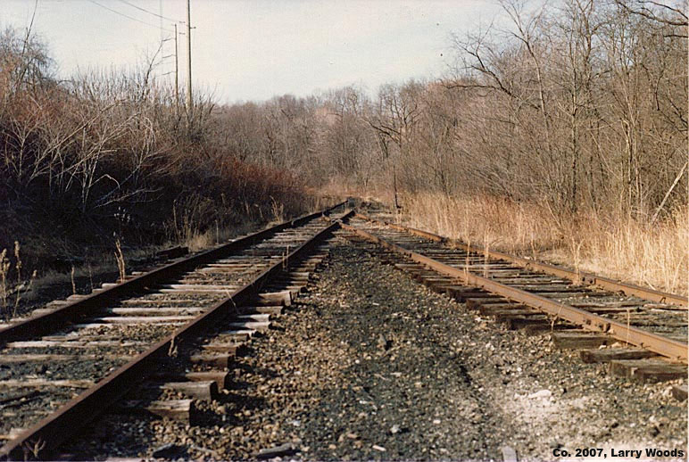
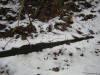
 This
picture from the same day in March 1983 is of the Library spur. The
track on the left came from the Bethel spur and the one on the right
from the main line. Both are well rusted and vegetated, much more so
than the Main line and Bethel spur seen in the first two pictures. This
picture from the same day in March 1983 is of the Library spur. The
track on the left came from the Bethel spur and the one on the right
from the main line. Both are well rusted and vegetated, much more so
than the Main line and Bethel spur seen in the first two pictures.
Straight ahead is the Library spur that led to Snowden. It
quickly disappears behind heavy vegetation. These three pictures
indicate that, at least at this location, the Library spur had been out
of use longer than the Main line and Bethel spur.
I have seen sources that say the Library spur was last used in
1978. If so, my guess is that it was likely accessed from the B
& O
line in Snowden and not from this location.
text
and picture © 2007, Larry Woods, used with
permission |
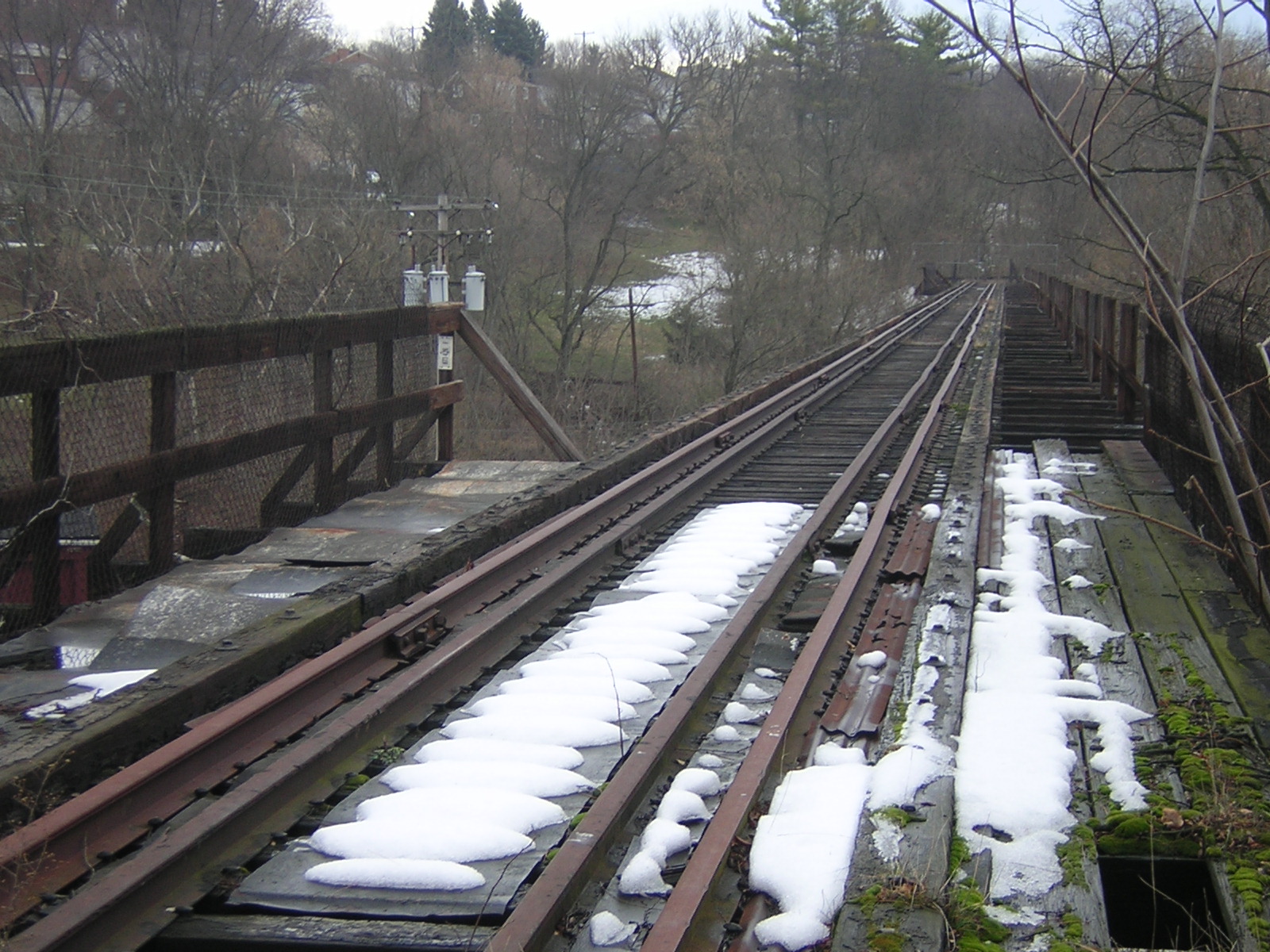
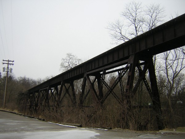
| Milepost
1.8 The Viaduct |
    |
 This is the
location of the trainman's shanty. It lies just outside of the viaduct
on the west side This is the
location of the trainman's shanty. It lies just outside of the viaduct
on the west side |
 Here's another
gauge rod that was used to hold the track to the correct gauge. A lot
of these were used in the Montour to try and keep the tracks usable. Here's another
gauge rod that was used to hold the track to the correct gauge. A lot
of these were used in the Montour to try and keep the tracks usable. |
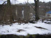
 Old ties still lie
strewn about the roadbed. Old ties still lie
strewn about the roadbed. |
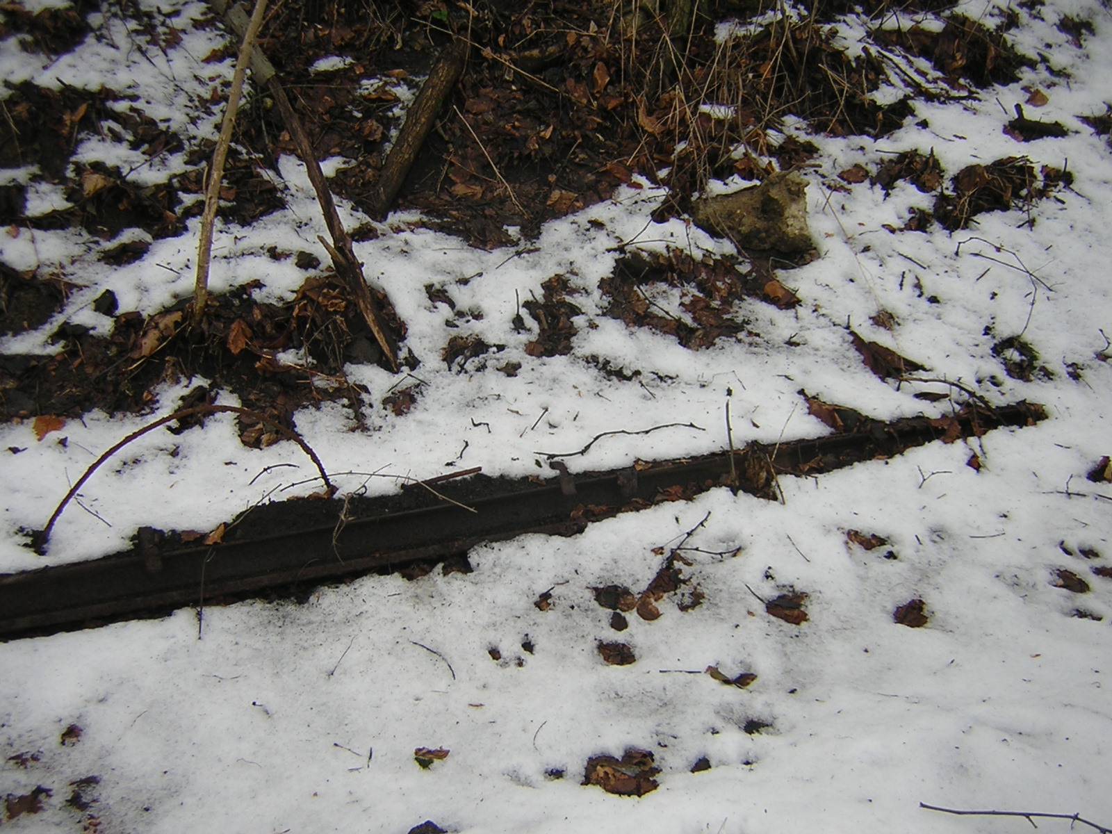
 An
old piece of rail lies rusting in the snow. An
old piece of rail lies rusting in the snow. |
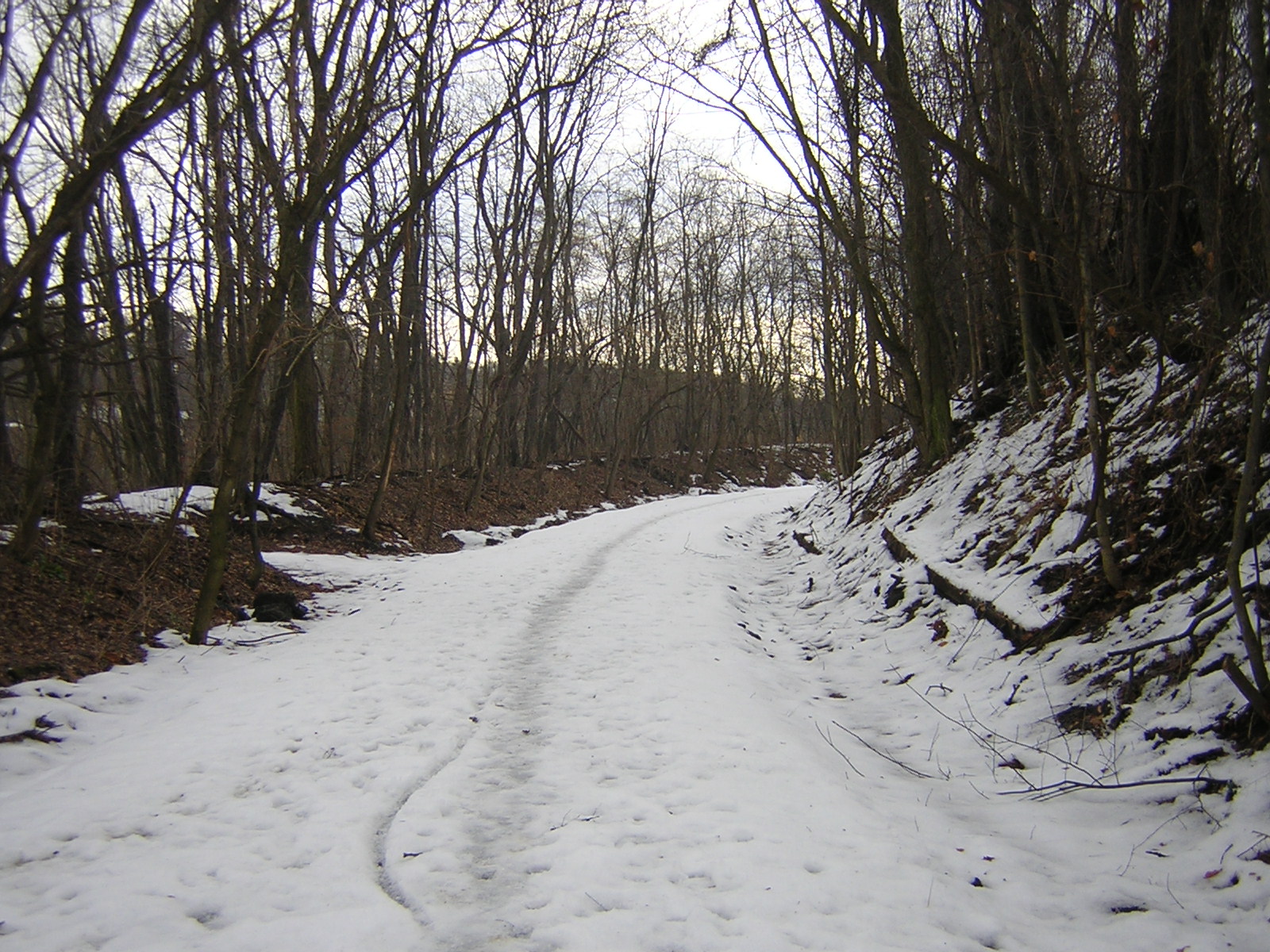
 Look at the
roadbed from the viaduct. Look at the
roadbed from the viaduct. |
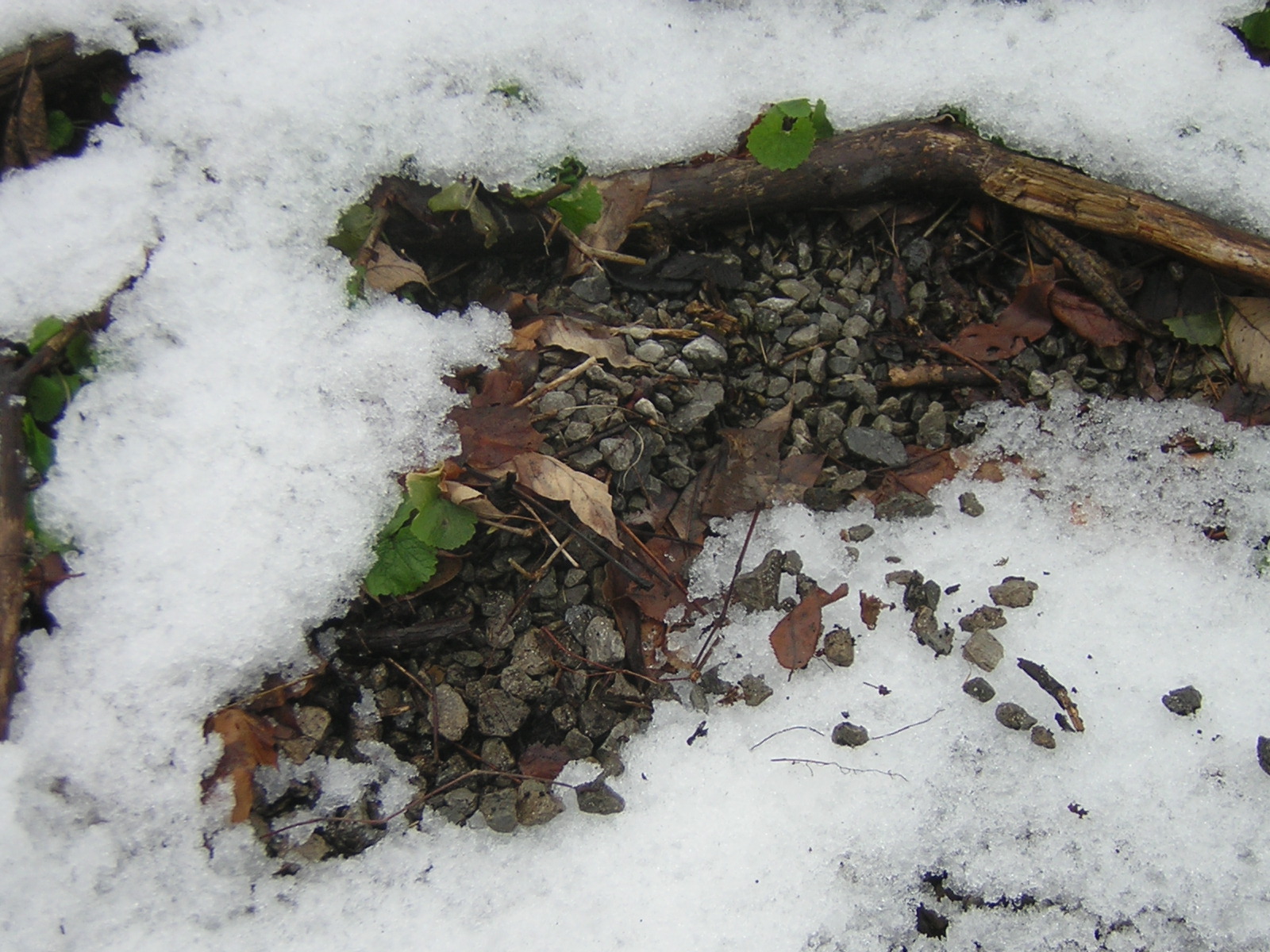
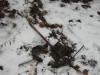
 This is the
remains of a train derailment. The train was carrying a load of ballast
and derailed accordion style. Much of the ballast was cleaned up but
some still remain This is the
remains of a train derailment. The train was carrying a load of ballast
and derailed accordion style. Much of the ballast was cleaned up but
some still remain |
| Milepost
2.0 The
Freight House |
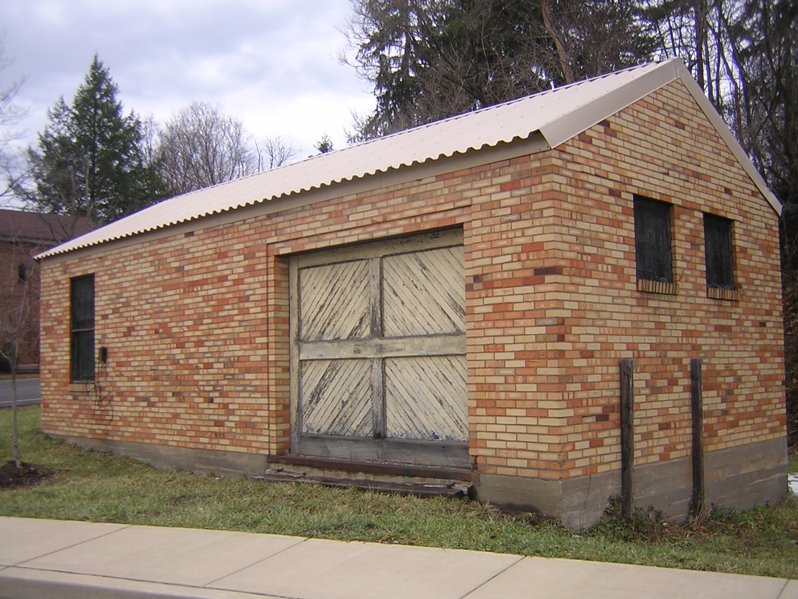
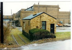
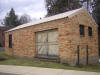 This is the old
Montour
Freight house located along the branch near the Montour #10 mine. It is
currently vacated and doesn't look like it's been used since the last
days of the Montour. The freight house is located just off of Pleasant
Street This is the old
Montour
Freight house located along the branch near the Montour #10 mine. It is
currently vacated and doesn't look like it's been used since the last
days of the Montour. The freight house is located just off of Pleasant
Street |
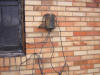 This
is a connection for the telegraph that used to be used for
communicating with the trains. It was discontinued after the Montour
began to use radios in the 70's. This
is a connection for the telegraph that used to be used for
communicating with the trains. It was discontinued after the Montour
began to use radios in the 70's. |
 Here's a
shot from around 1975, you can see how the Montour #10 machine shop
looked along with the spur track that served the machine shop and the
freight station. Here's a
shot from around 1975, you can see how the Montour #10 machine shop
looked along with the spur track that served the machine shop and the
freight station.
The freight station had a wooden door and curtains. The
office interior had 2 wooden desks, filing cabinets and chairs to match
and waybills, tariff books, officials guides and other car movement
related material.
The freight room had bundled and boxed old (1930's and up
)
car billing documents. This is where I found my first #40 and
#41
timetables along with some switch locks and keys dated
1936. There were some M o W tools and track
components
stored there also. I recall a few other old desks and chairs
stored there too. - Tim Sposato |
This is a
view was looking eastbound towards the #10 Tipple, the Viaduct was
around the curve behind me. - Tim Sposato
|
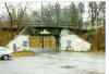
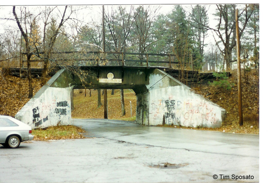
Here is a picture taken the same day that I
took the freight house shot above (1975). This was the overpass the
Montour crossed in Library. The freight house was to the
right. A lot of
graffiti, some of the worst was painted over by the Township. - Tim Sposato
|
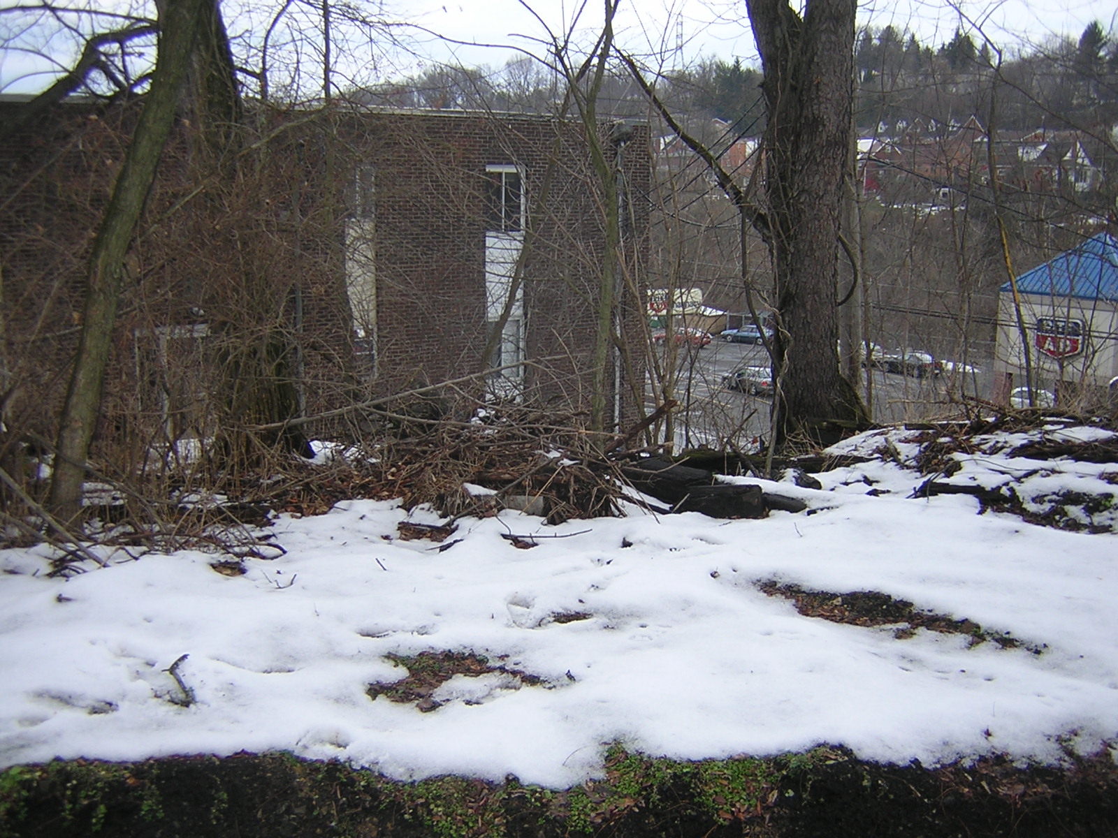
| Milepost
4 - Washing Machine Lake |
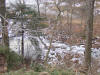
| Washingmachine
Lake got it's name from the Montour Railroaders. It was a swampy area
that was and probably still is a dumping ground for old washing
machines and tires. You won't find it on any map. From the location
where these pictures were taken is where the trash is thrown over the
hill into the lake. The water level is not as high as it used to be. |
 |
|
|
|
 Montour
Railroad
Montour
Railroad