|
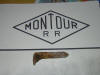
Pittsburgh and Moon Run Railroad |
| |
|
|
|
|
|
The Pittsburgh and Moon Run Railroad was a small railroad the
served the Moon Run and Clever Gas coal mines.
The railroad also delivered
freight, mail and had some passenger service. The P&MR was
owned by the Montour and made a connection through the Pittsburgh and Lake
Erie Railroad. The railroad was organized in 1891, purchased by the
Pittsburgh Coal Co in 1899 and merged with the Montour in 1912. The
railroad ceased operation when the coal reserves were
exhausted in 1936. A petition to the ICC to abandon the line was made in
1938 and rail line as abandoned in 1939.
According to the March 1906 Official Railway Equipment Register (ORER)
the Pittsburgh & Moon Run RR cars were marked "P. & M. R. R.
R.". At this time there were 500 90,000 lb capacity steel gondolas
(9000 to 9499) and one passenger car in service, two locomotives. The July
1911 ORER and March 1912 ORER list the same reporting marks, but 1466 and
1455 cars in service. These ORERs list Montour cars being marked
"Montour R. R.". At this time, Montour had 2181 and 2345 freight
cars, respectively. And 5 coach and one baggage cars, Five locomotive for
Montour.
The Moon Run Mine
was located just off of Rt 60 in Robinson Township and some of the remains
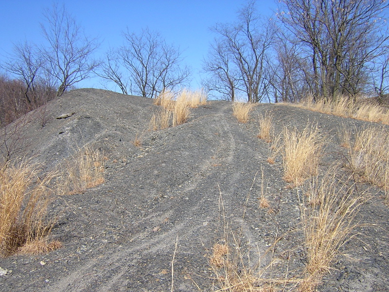
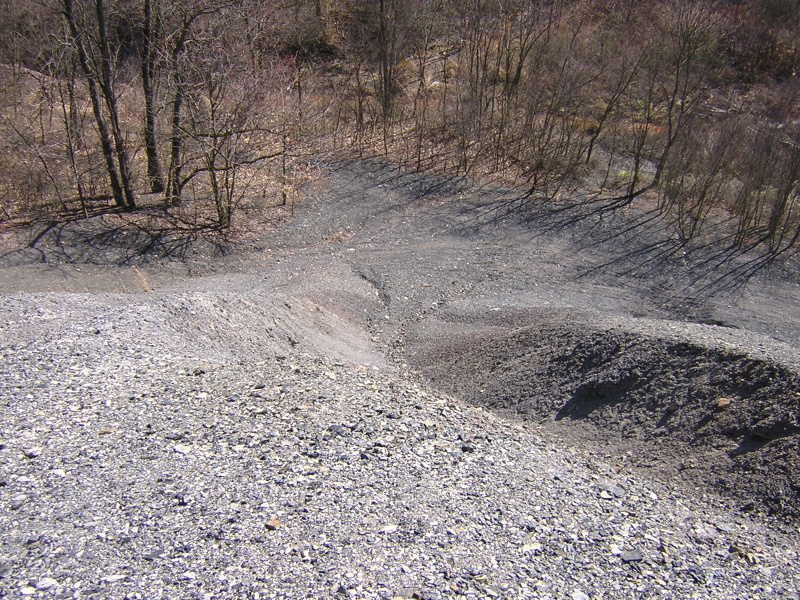
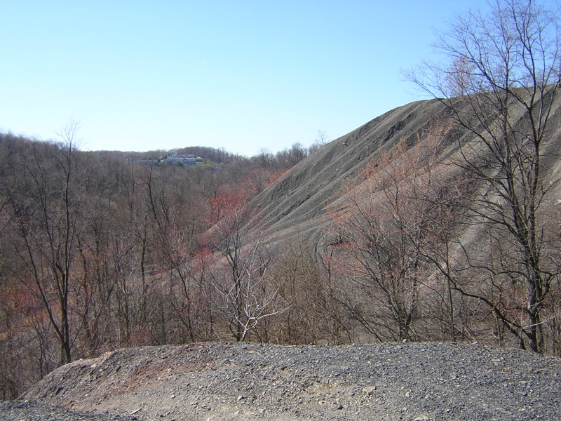
are still evident today. The most glaring remain are the large refuse piles
left by the railroad. They are readily visible from locations along Rt 60 in
Robinson Township. The area is mainly used as a recreation area for dirt
bikes. Not much vegetation grows on the refuse piles even today, the
occasional grass clump is there but not much else.
The road leading up to the old Moon Run tipple is still in existence as
are many of the houses used by the employees of the mine. A concrete
structure for the mine tipple is about all that remains of the coal company.
The right of way is still visible cutting through many back yards along Moon
Run Rd. The Pittsburgh & Moon Run RR was the forerunner for the sharp turns on interstate
79 as you approach the Neville Island bridge. Some of the main right of way
still exists between the north and south bound lanes in the sharp turns.
There is still much to be discovered and photographed in this area. The
Pittsburgh & Moon Run Railroad never had a direct connection to the Montour. The railroad
connected to the Montour by first connecting to the Pittsburgh and Lake Erie
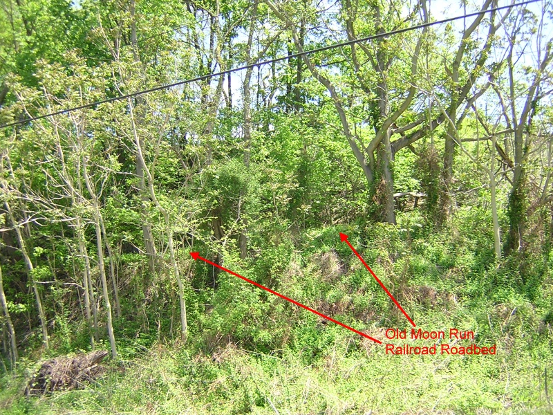
Railroad near Montour Junction. Some of the old roadbed still exists near
the connection to the P&LE RR. The roadbed is cut into the side of the hill.
Some of the roadbed was lost with the construction of i-79. The old roadbed
parallels I-79 and can be accessed where Rt 51 passes under I-79 on Station
Street. |
| |
|
|
|
|
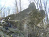
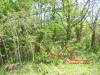
Here are the remains of the old tipple for the Moon Run Mine
N 40 27.130
W 80 07.044 |
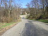
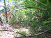
Here is the old road leading up to the tipple. This is not the old rail
line. |
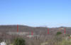
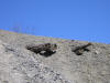
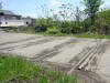
Here is a view of the refuse piles from Rt. 60. |
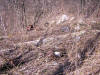
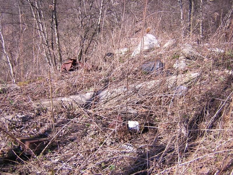
Here are some old ruins near where the old company store would have been.
They could be old ruins or a recent dump. There is a lot of dumping,
probably illegal, in the area.
N 40 27.164
W 80 07.162 |
| |
|
|
|
|

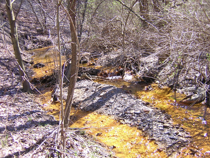
This is a tributary to the Moon Run Creek. Mine drainage pollutions is very
evident. |
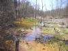
Messy swamp where the tributary dumps into Moon Run |
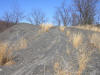
One could almost shoot a move on moon landings from the looks of the piles. |
View from the top of one of the piles. |
|
| |
|
|
|
|
And old pipe runs through the valley. |
Some old timbers are sticking out of one of the piles. Who knows what other
treasures could be under the refuse? |
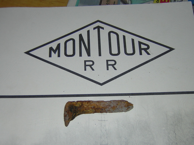
I found this old mini spike near on off the piles. It's on Gene's book for
scale. |
Another view of one of the larger gob piles. |
|
| |
|
|
|
|
|
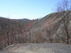
Moon Run Railroad Roadbed |
|
|
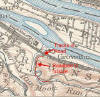
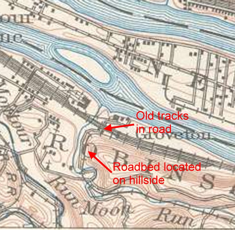
Map from 1905 showing the area explored. |
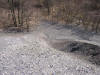
Here is a section of the old roadbed just below I-79. |

Another picture of the roadbed below I-79 |
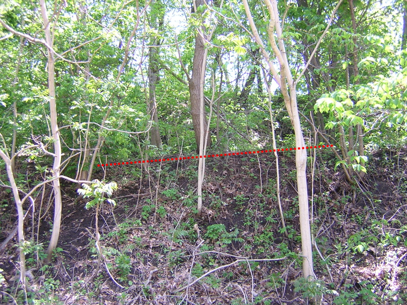
Here is a look down the roadbed as it approaches the connection with the P&LERR
N 40 30.304
W 80 08.301
|
|
| |
|
|
|
|

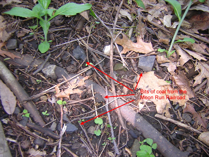
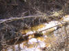
All along the roadbed we found coal either from the steam engine or the
freight cars. This coal has been lying here for over 60 years |
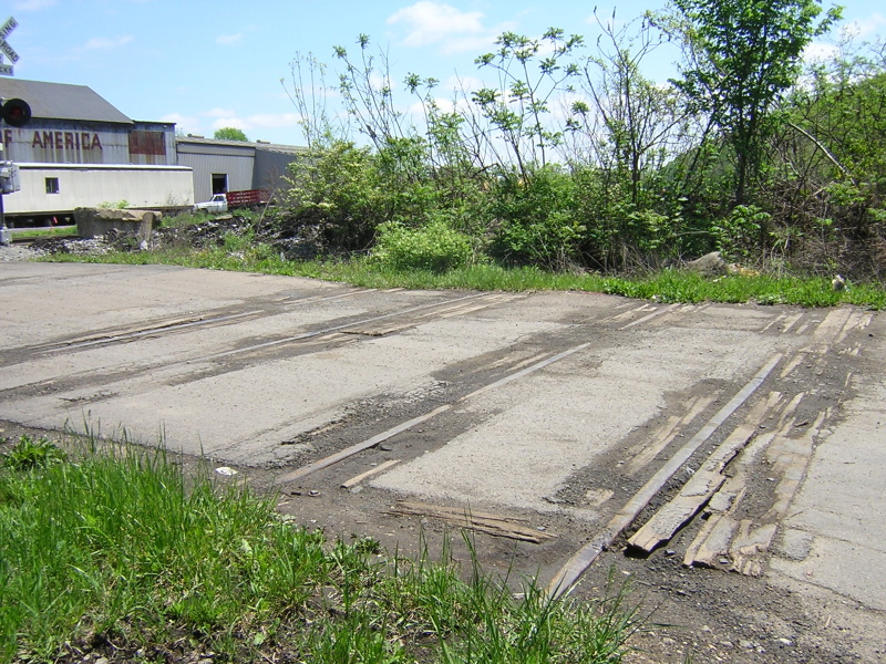
Down near the connection with the P&LE (now CSX) we found these old rails
still in the road. We don't think it's part of the Moon Run but could be.
There were no indications on the rails of when they were fabricated.
N 40 30.440
W 80 08.198
|
|
|
|
 Montour
Railroad
Montour
Railroad